Facts
- What it is
- Hill
- Height above sea level
- 213 m (699 ft)
- Prominence
- 70 m (230 ft)
- Isolation
- 1.9 km to higher ground
- Country
- Norway
- Coordinates
- 69.106°N 29.036°E
- Source
- Wikidata, CC0
Peaks near Steinfjellet
- Hallerfjellet220 m · 2 km awayOn the map
- Gjøkåsen180 m · 6.5 km awayOn the map
- MuotkavaaraMountain · 7.7 km awayOn the map
- Калкупя357 m · 24 km awayOn the map
- Haglklumpen338 m · 24 km awayOn the map
- Gora Virnimya419 m · 26 km awayOn the map
- Gora Shuort494 m · 33 km awayOn the map
- Rajapää331 m · 43 km awayOn the map
- mountain-24303713Mountain · 44 km awayOn the map
- Iso-Pelsa274 m · 51 km awayOn the map
Highest mountains in Norway
- Galdhøpiggen2,469 mOn the map
- Glittertind2,464 mOn the map
- Store Skagastølstind2,406 mOn the map
- Surtningssue2,368 mOn the map
- Store Memurutinden2,365 mOn the map
- Store Hellstugutinden2,346 mOn the map
- Store Knutsholstinden2,339 mOn the map
- Tjørnholstind2,323 mOn the map
- Bukkehøe2,314 mOn the map
- Dovrefjell2,286 mOn the map
Webcams near Steinfjellet
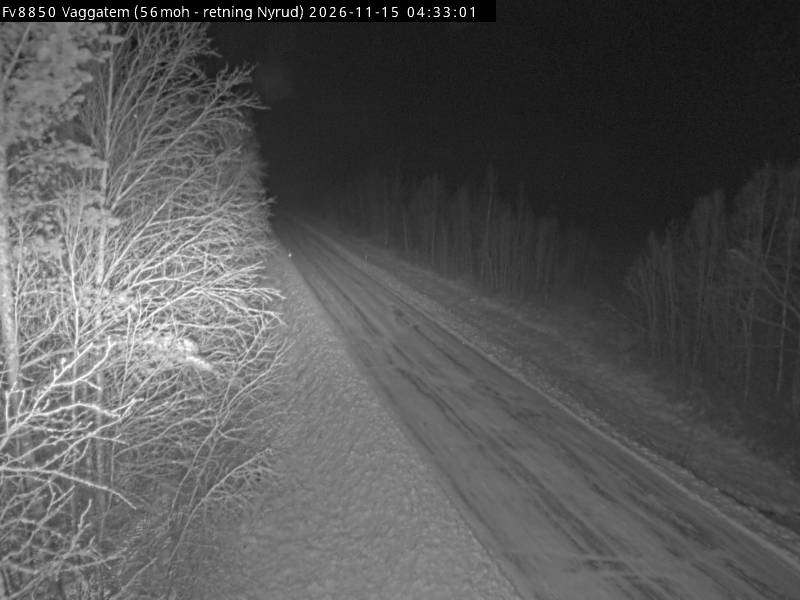
Towns near Steinfjellet
- Nikel58 km away
- Zapolyarnyy78 km away