Facts
- What it is
- Mountain
- Height above sea level
- 833 ft (254 m)
- Range
- Pimple Hills
- Country
- United States
- Coordinates
- 41.082°N 74.609°W
- Source
- Wikidata, CC0
Peaks near Sterling Hill
- Smiths Hill863 ft · 12 km awayOn the map
- Lookout Mountain1,165 ft · 16 km awayOn the map
- Pochuck Mountain1,194 ft · 16 km awayOn the map
- Culver Ridge1,500 ft · 18 km awayOn the map
- Sunrise Mountain1,650 ft · 18 km awayOn the map
- Wawayanda Mountain1,470 ft · 18 km awayOn the map
- Bearfort Mountain1,479 ft · 20 km awayOn the map
- Cage Hill846 ft · 21 km awayOn the map
- Allamuchy Mountain1,222 ft · 21 km awayOn the map
- Blue Mountain1,420 ft · 21 km awayOn the map
Highest mountains in United States
- Denali20,308 ftOn the map
- Mount Saint Elias18,009 ftOn the map
- Mount Foraker17,402 ftOn the map
- Mount Bona16,535 ftOn the map
- Mount Blackburn16,390 ftOn the map
- Mount Sanford16,237 ftOn the map
- Mount Vancouver15,787 ftOn the map
- Mount Churchill15,636 ftOn the map
- Mount Fairweather15,325 ftOn the map
- Mount Hubbard14,951 ftOn the map
Webcams near Sterling Hill
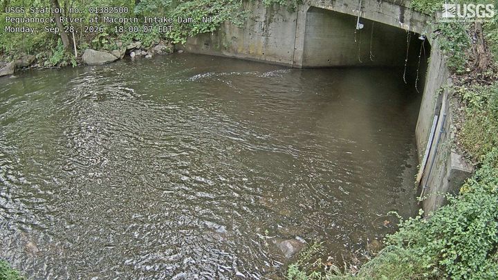

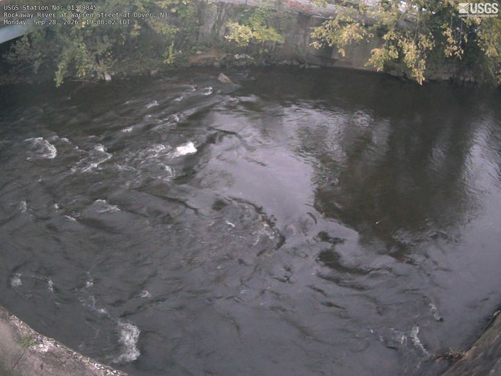
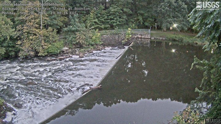
Towns near Sterling Hill
- Sparta6 km away
- Newton13 km away
- Hopatcong15 km away
- Hopatcong Hills16 km away
- Mount Arlington18 km away
- Stanhope20 km away