Facts
- What it is
- Mountain
- Country
- Norway
- Coordinates
- 67.972°N 12.934°E
- Source
- Wikidata, CC0
Peaks near Storskiva
- Helvetestinden602 m · 2.2 km awayOn the map
- Hermannsdalstinden1,029 m · 3.3 km awayOn the map
- Klokktinden863 m · 6.5 km awayOn the map
- Skottinden671 m · 26 km awayOn the map
- StamprevtindenMountain · 2.7 km awayOn the map
- TennestindenMountain · 4.7 km awayOn the map
- ErtnhelltindenMountain · 5.2 km awayOn the map
- RostadtindanMountain · 5.4 km awayOn the map
- OlstindenMountain · 6.2 km awayOn the map
- StøvlaMountain · 6.8 km awayOn the map
Highest mountains in Norway
- Galdhøpiggen2,469 mOn the map
- Glittertind2,464 mOn the map
- Store Skagastølstind2,406 mOn the map
- Surtningssue2,368 mOn the map
- Store Memurutinden2,365 mOn the map
- Store Hellstugutinden2,346 mOn the map
- Store Knutsholstinden2,339 mOn the map
- Tjørnholstind2,323 mOn the map
- Bukkehøe2,314 mOn the map
- Dovrefjell2,286 mOn the map
Webcams near Storskiva
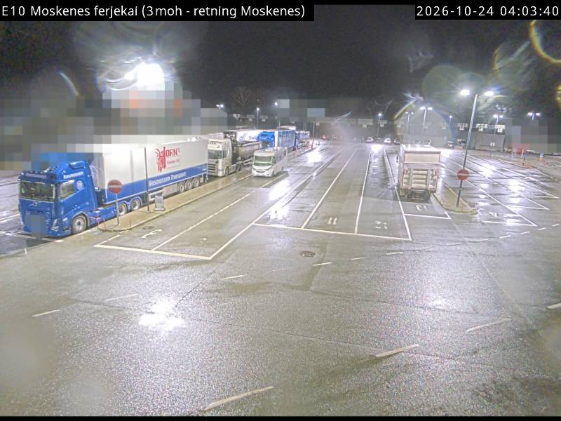
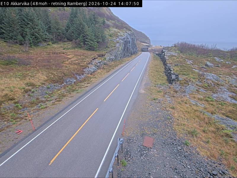
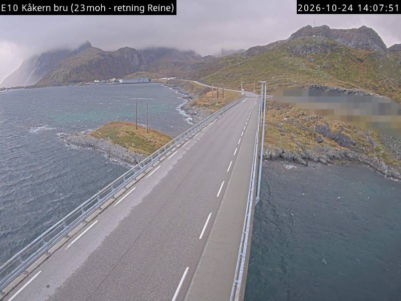
History around Storskiva
- Operation Anklet1941