 See it in 3D
Facts
- What it is
- Mountain
- Height above sea level
- 3,632 m (11,916 ft)
- Prominence
- 230 m (755 ft)
- Isolation
- 1 km to higher ground
- Range
- Bernese Alps
- Parent peak
- Finsteraarhorn
- Country
- Switzerland
- Coordinates
- 46.532°N 8.148°E
- Source
- Wikidata, CC0
Peaks near Studerhorn
- Finsteraarhorn4,274 m · 1.7 km awayOn the map
- Oberaarhorn3,631 m · 2.1 km awayOn the map
- Agassizhorn3,947 m · 3 km awayOn the map
- Gross Grünhorn4,043 m · 5.4 km awayOn the map
- Gross Wannenhorn3,906 m · 5.8 km awayOn the map
- Lauteraarhorn4,042 m · 5.9 km awayOn the map
- Hinter Fiescherhorn4,025 m · 6.3 km awayOn the map
- Schreckhorn4,078 m · 6.8 km awayOn the map
- Gross Fiescherhorn4,049 m · 7 km awayOn the map
- Mönch4,110 m · 12 km awayOn the map
Parent peak
The nearest higher peak its prominence is measured to.
- Finsteraarhorn4,274 mOn the map
Peaks below Studerhorn
- Oberaarhorn3,631 mOn the map
Highest in the Bernese Alps
- Finsteraarhorn4,274 mOn the map
- Studerhorn3,632 mOn the map
- Diablerets3,216 mOn the map
- Haut de Cry2,969 mOn the map
- Fitzer2,464 mOn the map
- Sparrhorn2,289 mOn the map
- colline du Châtelard1,272 mOn the map
Highest mountains in Switzerland
- Dufourspitze4,634 mOn the map
- Dom4,546 mOn the map
- Lyskamm4,532 mOn the map
- Weisshorn4,505 mOn the map
- Matterhorn4,478 mOn the map
- Dent Blanche4,357 mOn the map
- Grand Combin4,309 mOn the map
- Finsteraarhorn4,274 mOn the map
- Zinalrothorn4,221 mOn the map
- Alphubel4,206 mOn the map
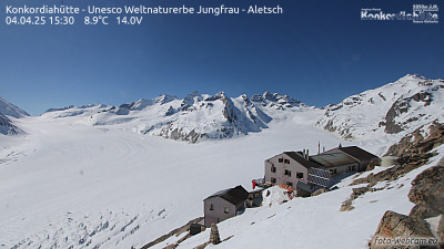
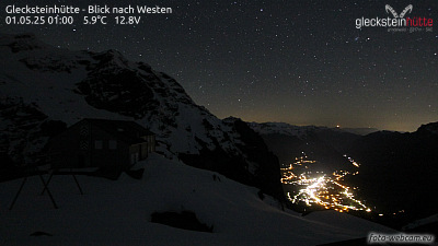
Webcams near Studerhorn


History around Studerhorn
Towns near Studerhorn
- Thun47 km away
- Domodossola48 km away
- Steffisburg48 km away
- Sierre54 km away
- Kriens56 km away
- Littau58 km away