Mountains in United States
Sugarloaf Hill
760 ft232 m
Mountain · Hudson Highlands · United States
At the summit · forecast for 7:00 PM
49 °FMostly clear · wind 6 mph from the S
 See it in 3D
Weather at the summit of Sugarloaf Hill, 760 ft
- 7:00 PM49 °FS 6 mph–
- 10:00 PM46 °FS 7 mph–
- 1:00 AM46 °FS 7 mph–
- 4:00 AM46 °FSW 6 mph–
- 7:00 AM44 °FSW 6 mph–
- 10:00 AM55 °FSW 6 mph–
- 1:00 PM65 °FSW 11 mph–
- 4:00 PM66 °FSW 10 mph–
| Day | Sky | High / low | Rain | Wind up to |
|---|---|---|---|---|
| Thu, Oct 29 | Mostly clear | 67 °F / 44 °F | – | 11 mph |
| Fri, Oct 30 | Clear | 64 °F / 46 °F | – | 13 mph |
| Sat, Oct 31 | Clear | 54 °F / 42 °F | – | 10 mph |
| Sun, Nov 1 | Mostly clear | 60 °F / 40 °F | – | 6 mph |
| Mon, Nov 2 | Clear | 65 °F / 41 °F | – | 4 mph |
| Tue, Nov 3 | Partly cloudy | 68 °F / 44 °F | – | 7 mph |
| Wed, Nov 4 | Clear | 69 °F / 53 °F | – | 10 mph |
Forecast by MET Norway (CC BY 4.0), updated 03:20 PM EDT. Times are local.
Facts
- What it is
- Mountain
- Height above sea level
- 760 ft (232 m)
- Range
- Hudson Highlands
- Country
- United States
- Coordinates
- 41.361°N 73.946°W
- Source
- Wikidata, CC0
Peaks near Sugarloaf Hill
- Anthony's Nose900 ft · 5.3 km awayOn the map
- Crow's Nest1,407 ft · 6.2 km awayOn the map
- Popolopen942 ft · 6.5 km awayOn the map
- Bear Mountain1,289 ft · 7.2 km awayOn the map
- Bull Hill1,420 ft · 8.7 km awayOn the map
- Dunderberg Mountain1,086 ft · 9 km awayOn the map
- Breakneck Ridge1,260 ft · 11 km awayOn the map
- Sugarloaf Mountain900 ft · 11 km awayOn the map
- Beacon Mountain1,532 ft · 13 km awayOn the map
- Schunemunk Mountain1,664 ft · 15 km awayOn the map
Highest in the Hudson Highlands
- Beacon Mountain1,532 ftOn the map
- Crow's Nest1,407 ftOn the map
- Bear Mountain1,289 ftOn the map
- Dunderberg Mountain1,086 ftOn the map
- Sugarloaf Hill760 ftOn the map
Highest mountains in United States
- Denali20,308 ftOn the map
- Mount Saint Elias18,009 ftOn the map
- Mount Foraker17,402 ftOn the map
- Mount Bona16,535 ftOn the map
- Mount Blackburn16,390 ftOn the map
- Mount Sanford16,237 ftOn the map
- Mount Vancouver15,787 ftOn the map
- Mount Churchill15,636 ftOn the map
- Mount Fairweather15,325 ftOn the map
- Mount Hubbard14,951 ftOn the map
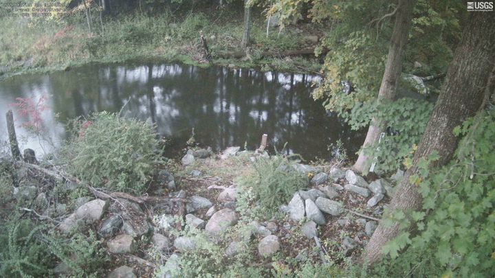
Webcams near Sugarloaf Hill



History around Sugarloaf Hill
- New York City is affected by a complete electricity blackout lasting through the following day that results in citywide looting and other criminal activity1977
- Battle of Forts Clinton and Montgomery1777
- Eggnog Riot1826
- Battle of Stony Point1779
- The Federal Bureau of Investigation arrests Israeli rabbi Aharon Goldberg and divorce mediator Shimen Liebowitz2016
- The 70th Tony Awards are held at the Beacon Theatre in New York City with The Humans winning the Best Play and Hamilton winning the Best Musical2016
- Peekskill Riots1949
- Garrison train crash1897
Towns near Sugarloaf Hill
- Nelsonville7.6 km away
- Peekskill8.2 km away
- Cortlandt Manor11 km away
- Woodbury14 km away
- Beacon16 km away
- Newburgh17 km away