Mountains in Italy
Superga
672 m2,205 ft
Hill · Colline del Po · Italy
Superga is a hill situated on the south bank of the river Po to the east of Turin in north-west Italy. At 672 metres (2,205 ft) above sea level, it is one of the most prominent of the hills that ring the city.
From Wikipedia, CC BY-SA · Read the article
At the summit · forecast for 1:00 AM
4 °CClear · wind 4 km/h from the NE
 See it in 3D
Weather at the summit of Superga, 672 m
- 1:00 AM4 °CNE 4 km/h–
- 4:00 AM3 °CNW 2 km/h–
- 7:00 AM3 °CNE 3 km/h–
- 10:00 AM9 °CNE 3 km/h–
- 1:00 PM13 °CNE 4 km/h–
- 4:00 PM13 °CNE 4 km/h–
- 7:00 PM9 °CNE 4 km/h–
- 10:00 PM6 °CNE 3 km/h–
| Day | Sky | High / low | Rain | Wind up to |
|---|---|---|---|---|
| Today | Mostly clear | 13 °C / 3 °C | – | 5 km/h |
| Wed, Oct 28 | Clear | 15 °C / 3 °C | – | 5 km/h |
| Thu, Oct 29 | Mostly clear | 15 °C / 4 °C | – | 6 km/h |
| Fri, Oct 30 | Mostly clear | 13 °C / 4 °C | – | 4 km/h |
| Sat, Oct 31 | Clear | 13 °C / 2 °C | – | 2 km/h |
| Sun, Nov 1 | Clear | 13 °C / 1 °C | – | 2 km/h |
| Mon, Nov 2 | Clear | 13 °C / 2 °C | – | 2 km/h |
Forecast by MET Norway (CC BY 4.0), updated 12:19 AM GMT+1. Times are local.
Facts
- What it is
- Hill
- Height above sea level
- 672 m (2,205 ft)
- Prominence
- 188 m (617 ft)
- Range
- Colline del Po
- Country
- Italy
- Coordinates
- 45.081°N 7.767°E
- Source
- Wikidata, CC0
Peaks near Superga
- Monte Musinè1,150 m · 25 km awayOn the map
- Monte San Giorgio837 m · 27 km awayOn the map
- Monte Lera1,368 m · 27 km awayOn the map
- Monte Pietraborga926 m · 28 km awayOn the map
- Motagnazza892 m · 28 km awayOn the map
- Monte Colombano1,658 m · 29 km awayOn the map
- Monte Pirchiriano962 m · 33 km awayOn the map
- Uja di Calcante1,614 m · 36 km awayOn the map
- Monte Civrari2,302 m · 37 km awayOn the map
- Monte Tre Denti1,365 m · 37 km awayOn the map
Highest in the Colline del Po
- Colle della Maddalena715 mOn the map
- Superga672 mOn the map
Highest mountains in Italy
- Mont Blanc4,806 mOn the map
- Lyskamm4,532 mOn the map
- Matterhorn4,478 mOn the map
- Pointe Walker4,208 mOn the map
- Grandes Jorasses4,208 mOn the map
- Dent d'Hérens4,173 mOn the map
- Breithorn4,160 mOn the map
- Superga672 mOn the map
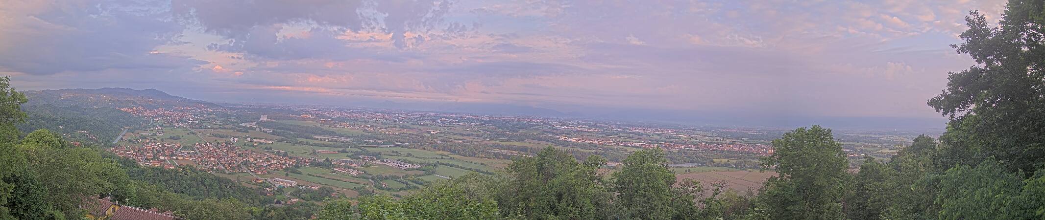
Webcams near Superga
History around Superga
Towns near Superga
- San Mauro Torinese2.6 km away
- Turin6.4 km away
- Settimo Torinese6.5 km away
- Chieri8.9 km away
- Moncalieri11 km away
- Venaria Reale12 km away