Table Mountain
Mountain · United States
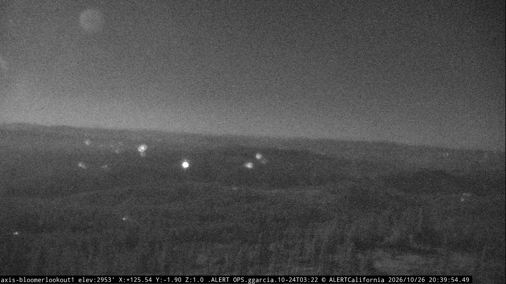
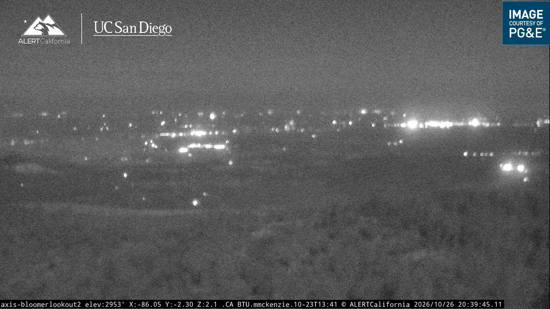
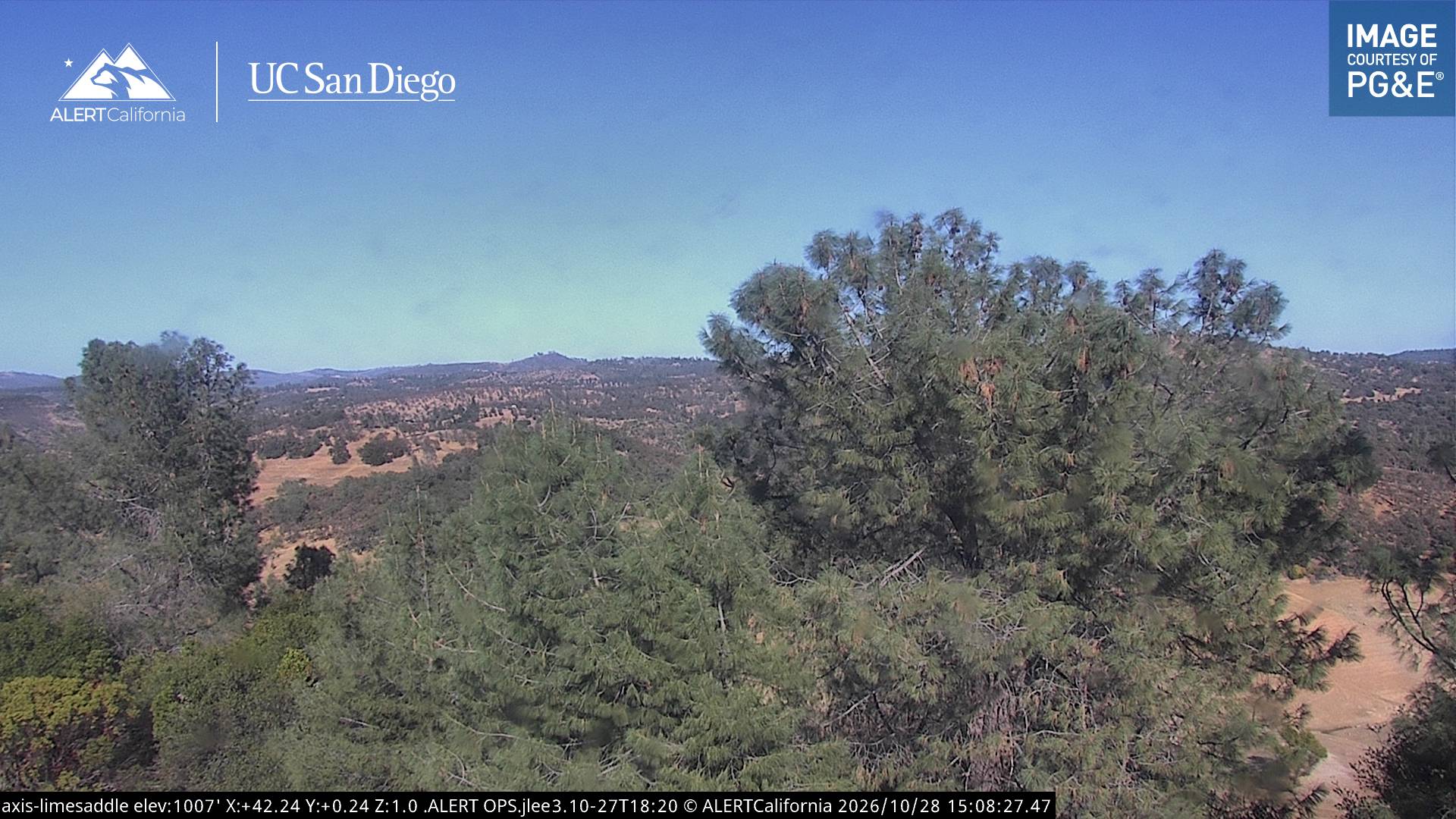
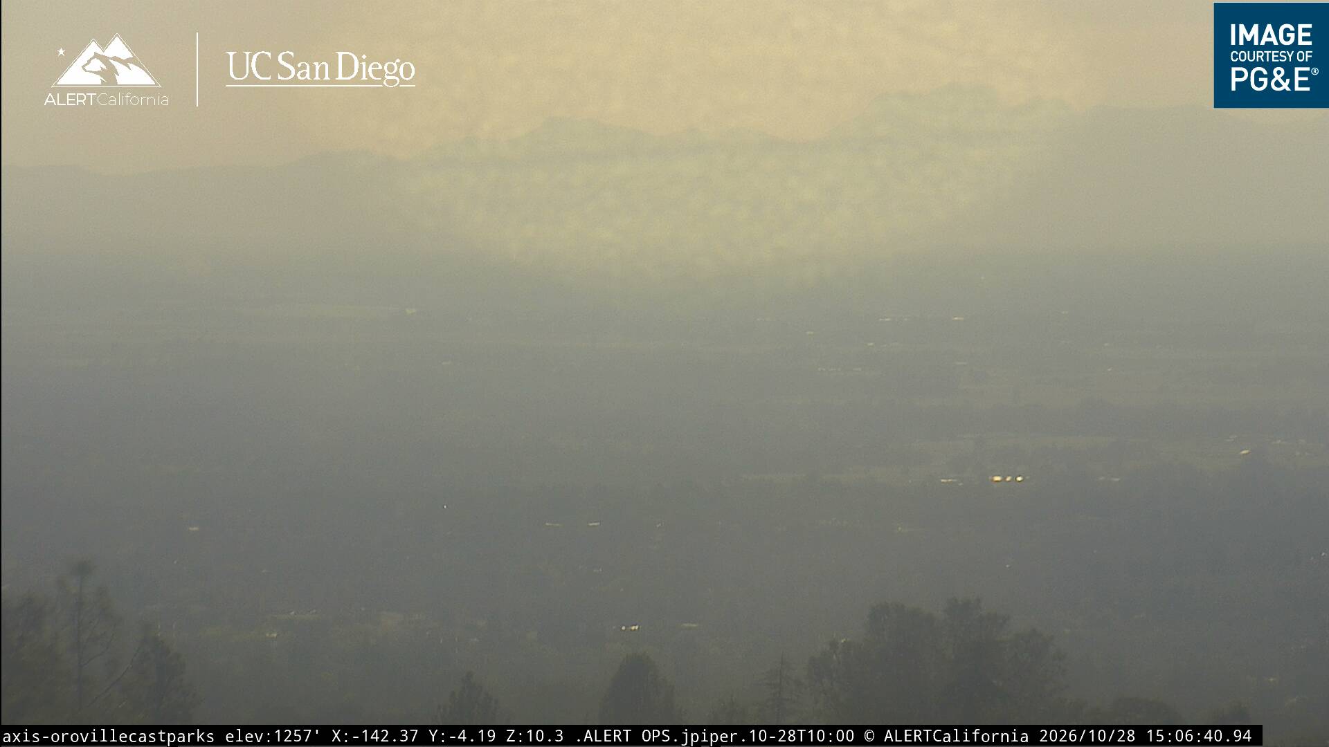
North Table Mountain and South Table Mountain are two prominent basaltic mesas overlooking the city of Oroville, California. They lie a few miles north of Oroville in Butte County, California.
From Wikipedia, CC BY-SA · Read the article
At the summit · forecast for 1:00 PM
61 °FCloudy · wind 4 mph from the SW
 See it in 3D
Table Mountain weather forecast
- 1:00 PM61 °FSW 4 mph–
- 4:00 PM63 °FS 6 mph–
- 7:00 PM56 °FE 4 mph–
- 10:00 PM52 °FE 5 mph–
- 1:00 AM53 °FE 6 mph–
- 4:00 AM51 °FE 6 mph–
- 7:00 AM48 °FE 4 mph–
- 10:00 AM57 °FS 4 mph–
| Day | Sky | High / low | Rain | Wind up to |
|---|---|---|---|---|
| Fri, Oct 30 | Partly cloudy | 65 °F / 48 °F | – | 7 mph |
| Sat, Oct 31 | Cloudy | 61 °F / 48 °F | 0.14 in | 8 mph |
| Sun, Nov 1 | Clear | 63 °F / 46 °F | 0.06 in | 9 mph |
| Mon, Nov 2 | Mostly clear | 64 °F / 48 °F | – | 5 mph |
| Tue, Nov 3 | Cloudy | 65 °F / 49 °F | – | 6 mph |
| Wed, Nov 4 | Clear | 69 °F / 46 °F | – | 5 mph |
| Thu, Nov 5 | Partly cloudy | 67 °F / 50 °F | 0.07 in | 7 mph |
Forecast by MET Norway (CC BY 4.0), updated 12:18 AM PDT. Times are local.
Facts
- What it is
- Mountain
- Country
- United States
- Coordinates
- 39.598°N 121.556°W
- Source
- Wikidata, CC0
Table Mountain (Butte County, California)
North and South Table Mountain, Butte County, California
North Table Mountain and South Table Mountain are two prominent basaltic mesas overlooking the city of Oroville, California. They lie a few miles north of Oroville in Butte County, California. In the scientific literature, both mesas are also known as North Oroville Table Mountain and South Oroville Table Mountain to differentiate them from the Tuolumne Table Mountain, which is also capped by the eroded remnant of a…
From Wikipedia, CC BY-SA · Read the article
Peaks near Table Mountain
- Bald Rock Dome3,509 ft · 22 km awayOn the map
- Sutter Buttes2,123 ft · 47 km awayOn the map
- Sugar Pine PeakMountain · 46 km awayOn the map
Highest mountains in United States
- Denali20,308 ftOn the map
- Mount Saint Elias18,009 ftOn the map
- Mount Foraker17,402 ftOn the map
- Mount Bona16,535 ftOn the map
- Mount Blackburn16,390 ftOn the map
- Mount Sanford16,237 ftOn the map
- Mount Vancouver15,787 ftOn the map
- Mount Churchill15,636 ftOn the map
- Mount Fairweather15,325 ftOn the map
- Mount Hubbard14,951 ftOn the map