Mountains in United States
Tatoosh Peak
6,310 ft1,923 m
Mountain · Cascade Range · United States
At the summit · forecast for 8:00 PM
29 °FCloudy · wind 2 mph from the N
 See it in 3D
Weather at the summit of Tatoosh Peak, 6,310 ft
- 8:00 PM29 °FN 2 mph–
- 11:00 PM29 °FN 1 mph–
- 2:00 AM29 °FW 2 mph0.03 in
- 5:00 AM29 °FW 3 mph0 in
- 8:00 AM28 °FSW 3 mph0.01 in
- 11:00 AM29 °FSW 5 mph0.04 in
- 2:00 PM31 °FSW 8 mph0.06 in
- 5:00 PM29 °FSW 8 mph0.03 in
| Day | Sky | High / low | Rain | Wind up to |
|---|---|---|---|---|
| Tue, Oct 27 | Snow | 32 °F / 26 °F | 0.37 in | 9 mph |
| Wed, Oct 28 | Snow | 28 °F / 13 °F | 0.87 in | 8 mph |
| Thu, Oct 29 | Light snow | 27 °F / 11 °F | 0.13 in | 5 mph |
| Fri, Oct 30 | Partly cloudy | 26 °F / 13 °F | 0.02 in | 4 mph |
| Sat, Oct 31 | Snow | 27 °F / 17 °F | 0.18 in | 4 mph |
| Sun, Nov 1 | Partly cloudy | 28 °F / 18 °F | 0 in | 4 mph |
| Mon, Nov 2 | Partly cloudy | 35 °F / 21 °F | – | 6 mph |
Forecast by MET Norway (CC BY 4.0), updated 06:17 PM PDT. Times are local.
Facts
- What it is
- Mountain
- Height above sea level
- 6,310 ft (1,923 m)
- Range
- Cascade Range
- Country
- United States
- Coordinates
- 46.706°N 121.665°W
- Source
- Wikidata, CC0
Peaks near Tatoosh Peak
- Stevens Peak6,560 ft · 4.5 km awayOn the map
- Unicorn Peak6,972 ft · 5.1 km awayOn the map
- West Unicorn Peak6,840 ft · 5.2 km awayOn the map
- Foss Peak6,524 ft · 6.6 km awayOn the map
- The Castle6,440 ft · 7.5 km awayOn the map
- Pinnacle Peak6,562 ft · 7.7 km awayOn the map
- Denman Peak6,006 ft · 8.3 km awayOn the map
- Plummer Peak6,371 ft · 8.5 km awayOn the map
- Lane Peak6,012 ft · 8.9 km awayOn the map
- Wahpenayo Peak6,221 ft · 9 km awayOn the map
Highest in the Cascade Range
- Mount Rainier14,400 ftOn the map
- Mount Adams12,280 ftOn the map
- Mount McLoughlin9,495 ftOn the map
- Mount Thielsen9,183 ftOn the map
- Broken Top9,177 ftOn the map
- Black Peak8,976 ftOn the map
- Dome Peak8,921 ftOn the map
- Silver Star Mountain8,875 ftOn the map
- Tatoosh Peak6,310 ftOn the map
Highest mountains in United States
- Denali20,308 ftOn the map
- Mount Saint Elias18,009 ftOn the map
- Mount Foraker17,402 ftOn the map
- Mount Bona16,535 ftOn the map
- Mount Blackburn16,390 ftOn the map
- Mount Sanford16,237 ftOn the map
- Mount Vancouver15,787 ftOn the map
- Mount Churchill15,636 ftOn the map
- Mount Fairweather15,325 ftOn the map
- Mount Hubbard14,951 ftOn the map
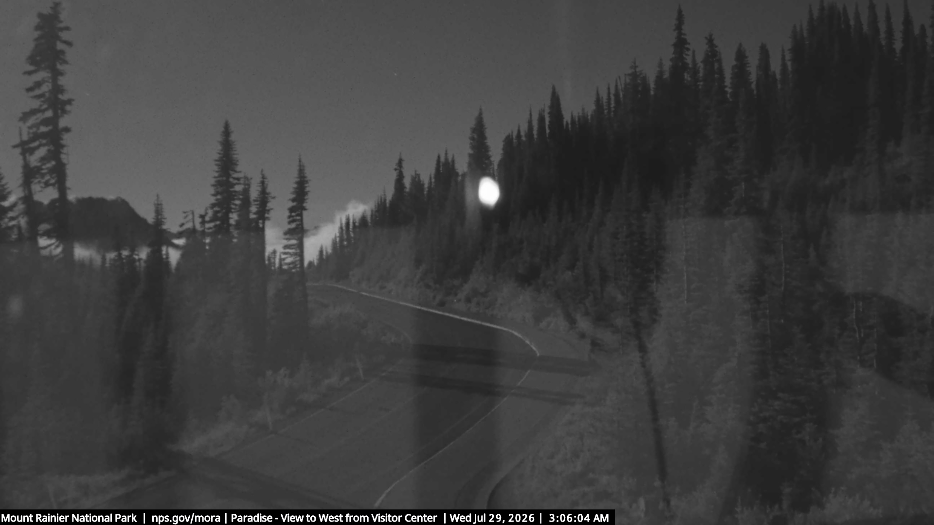
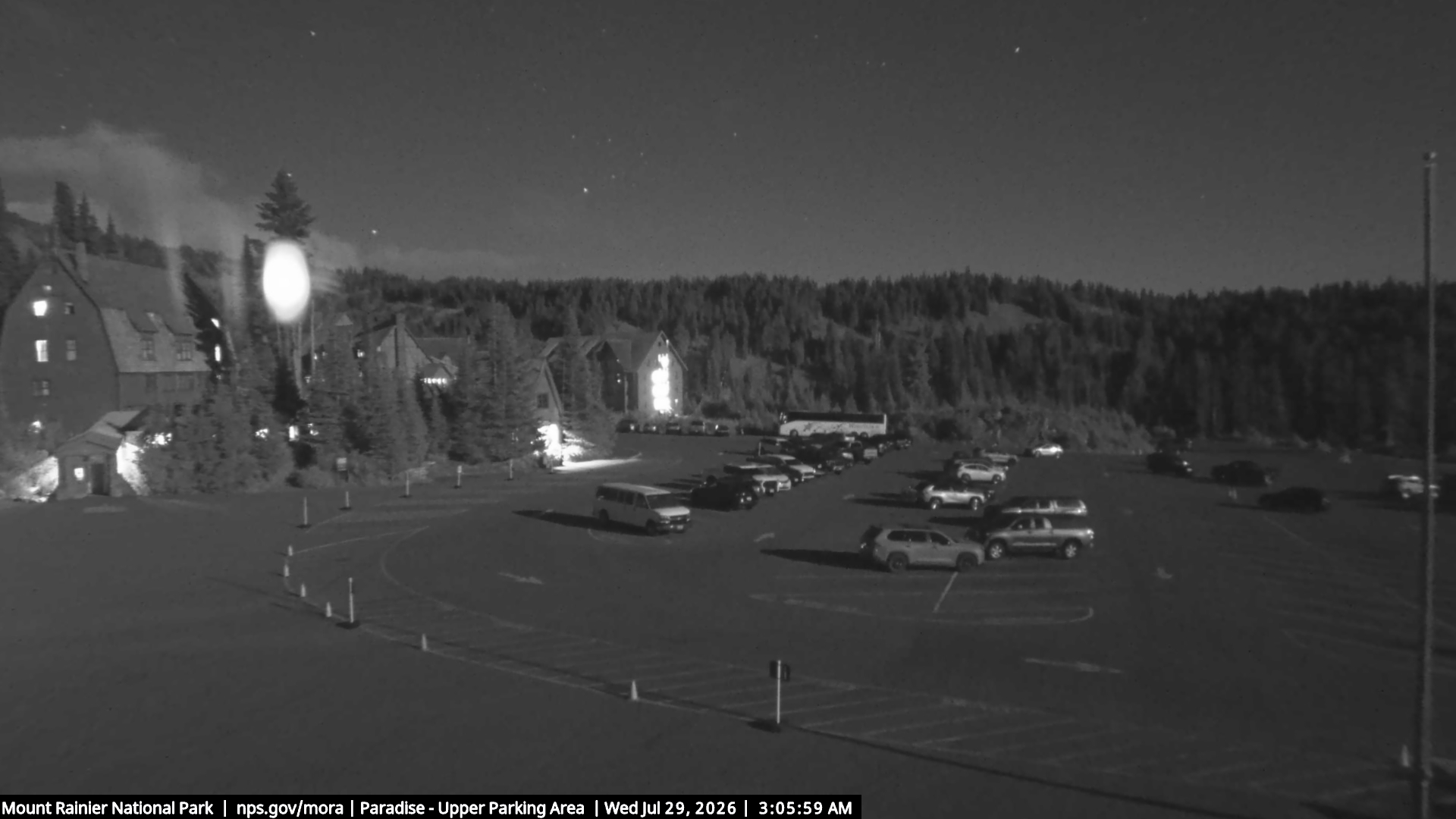
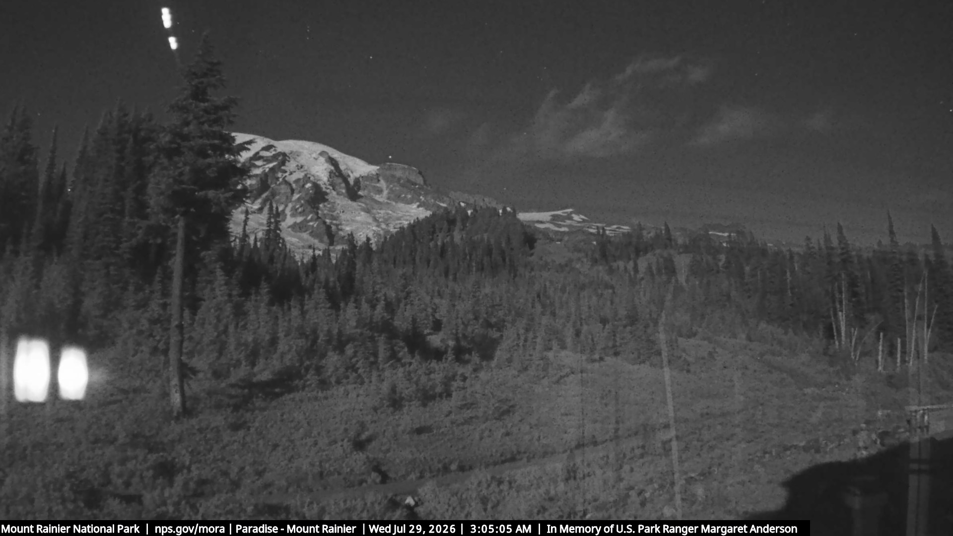
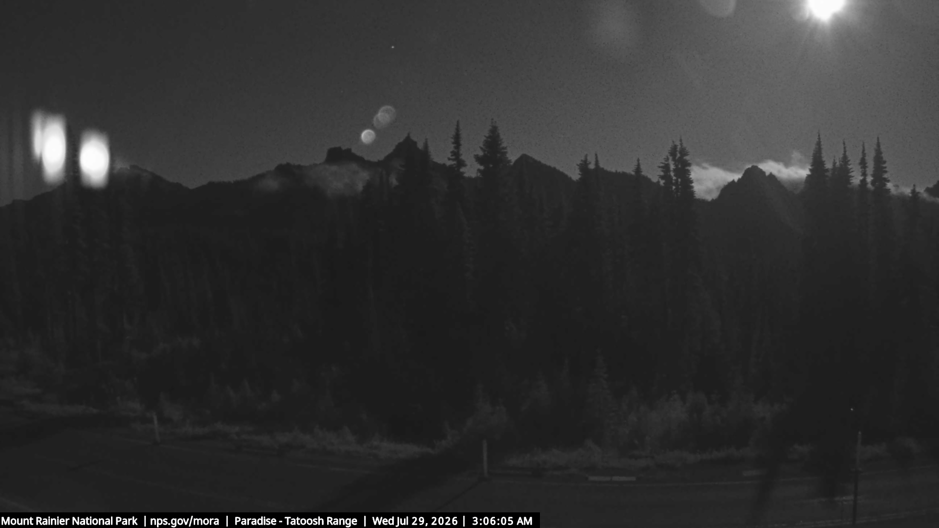
Webcams near Tatoosh Peak

Towns near Tatoosh Peak
- Orting60 km away
- Enumclaw60 km away
- Graham61 km away
- Bonney Lake66 km away
- South Hill67 km away
- Frederickson68 km away