Mountains in France
Terril n° 102, 4 Est de Dourges
Hill · France
Le terril no 102, 4 Est de Dourges est un ancien terril houiller conique situé sur la commune de Noyelles-Godault, dans le département du Nord-Pas-de-Calais, en France, datant de l'an 1870. Il est aujourd'hui presque totalement rasé et occupé par la Résidence Jules Mousseron, au bout de la rue du Parc-à-Bois.
From French Wikipedia, CC BY-SA · Read the article
At the summit · forecast for 3:00 PM
15 °CCloudy · wind 9 km/h from the E
 See it in 3D
Terril n° 102, 4 Est de Dourges weather forecast
- 3:00 PM15 °CE 9 km/h–
- 6:00 PM12 °CNE 8 km/h–
- 9:00 PM10 °CNE 10 km/h–
- 12:00 AM8 °CE 9 km/h–
- 3:00 AM7 °CE 7 km/h–
- 6:00 AM6 °CE 8 km/h–
- 9:00 AM7 °CE 10 km/h–
- 12:00 PM12 °CE 8 km/h–
| Day | Sky | High / low | Rain | Wind up to |
|---|---|---|---|---|
| Fri, Oct 30 | Clear | 15 °C / 6 °C | – | 13 km/h |
| Sat, Oct 31 | Clear | 14 °C / 5 °C | – | 11 km/h |
| Sun, Nov 1 | Partly cloudy | 12 °C / 5 °C | 0.3 mm | 10 km/h |
| Mon, Nov 2 | Cloudy | 12 °C / 9 °C | 0.6 mm | 10 km/h |
| Tue, Nov 3 | Cloudy | 9 °C / 7 °C | 0.4 mm | 18 km/h |
| Wed, Nov 4 | Clear | 8 °C / 2 °C | – | 16 km/h |
| Thu, Nov 5 | Partly cloudy | 7 °C / 3 °C | – | 15 km/h |
Forecast by MET Norway (CC BY 4.0), updated 12:23 PM GMT+1. Times are local.
Facts
- What it is
- Hill
- Country
- France
- Coordinates
- 50.413°N 2.997°E
- Source
- Wikidata, CC0
Peaks near Terril n° 102, 4 Est de Dourges
- Monteberg136 m · 42 km awayOn the map
- Kemmelberg154 m · 43 km awayOn the map
- Baneberg142 m · 45 km awayOn the map
- Mont Noir152 m · 45 km awayOn the map
- Vidaigneberg136 m · 45 km awayOn the map
- Mont des Cats164 m · 47 km awayOn the map
- Tiegemberg82 m · 56 km awayOn the map
- Mont Cassel177 m · 56 km awayOn the map
- Paterberg80 m · 56 km awayOn the map
- Terril de PinchonvallesHill · 13 km awayOn the map
Highest mountains in France
- Mont Blanc4,806 mOn the map
- Pointe Walker4,208 mOn the map
- Grandes Jorasses4,208 mOn the map
- Aiguille Verte4,122 mOn the map
- Barre des Écrins4,102 mOn the map
- Meije3,983 mOn the map
- Ailefroide3,954 mOn the map
- Mont Pelvoux3,946 mOn the map
- Pic Sans Nom3,913 mOn the map
- Aiguille de Tré la Tête3,911 mOn the map
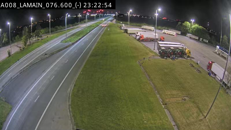
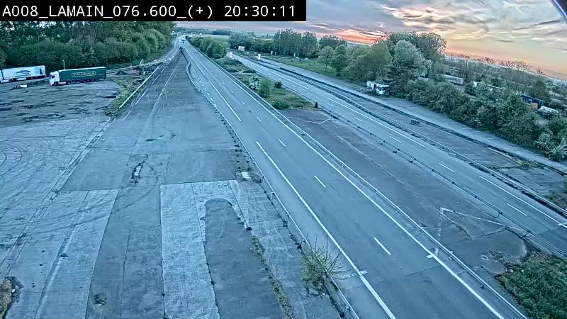
Webcams near Terril n° 102, 4 Est de Dourges
History around Terril n° 102, 4 Est de Dourges
Towns near Terril n° 102, 4 Est de Dourges
- Hénin-Beaumont2.3 km away
- Douai7.5 km away
- Carvin9.2 km away
- Sin-le-Noble11 km away
- Avion12 km away
- Lens12 km away