Terry Peak
Mountain · Black Hills · United States
Terry Peak is a mountain and ski area in the west central United States, in the Black Hills of South Dakota outside of Lead.
From Wikipedia, CC BY-SA · Read the article
At the summit · forecast for 11:00 PM
34 °FClear · wind 11 mph from the SW
Terry Peak weather forecast
- 11:00 PM34 °FSW 11 mph–
- 2:00 AM37 °FSW 12 mph–
- 5:00 AM41 °FSW 16 mph–
- 8:00 AM40 °FSW 20 mph–
- 11:00 AM45 °FW 20 mph–
- 2:00 PM49 °FW 14 mph–
- 5:00 PM46 °FSW 10 mph–
- 8:00 PM37 °FSW 11 mph0.02 in
| Day | Sky | High / low | Rain | Wind up to |
|---|---|---|---|---|
| Tue, Oct 27 | Clear | 49 °F / 36 °F | 0.06 in | 23 mph |
| Wed, Oct 28 | Clear | 48 °F / 33 °F | 0.12 in | 15 mph |
| Thu, Oct 29 | Clear | 51 °F / 33 °F | – | 12 mph |
| Fri, Oct 30 | Cloudy | 57 °F / 38 °F | – | 9 mph |
| Sat, Oct 31 | Partly cloudy | 58 °F / 44 °F | 0 in | 13 mph |
| Sun, Nov 1 | Cloudy | 54 °F / 33 °F | 0.85 in | 14 mph |
| Mon, Nov 2 | Heavy snow | 27 °F / 23 °F | 1.64 in | 20 mph |
Forecast by MET Norway (CC BY 4.0), updated 07:17 PM MDT. Times are local.
Facts
- What it is
- Mountain
- Range
- Black Hills
- Country
- United States
- Coordinates
- 44.329°N 103.835°W
- Source
- Wikidata, CC0
Terry Peak
Ski area in South Dakota, United States
Terry Peak is a mountain and ski area in the west central United States, in the Black Hills of South Dakota outside of Lead. With an elevation of 7,064 feet (2,153 m) above sea level, it is the most prominent peak in the Northern Black Hills area, and the sixth highest summit in the range; the tallest is Black Elk Peak at 7,244 feet (2,208 m).
From Wikipedia, CC BY-SA · Read the article
Peaks near Terry Peak
- Warren Peak6,640 ft · 51 km awayOn the map
- Bear Mountain7,166 ft · 52 km awayOn the map
- Black Elk Peak7,244 ft · 56 km awayOn the map
- Mount Rushmore5,725 ft · 58 km awayOn the map
- Needles6,959 ft · 59 km awayOn the map
- Polo PeakMountain · 11 km awayOn the map
- Inyan Kara MountainMountain · 43 km awayOn the map
- Odakota MountainMountain · 46 km awayOn the map
- Thunderhead MountainMountain · 57 km awayOn the map
Highest in the Black Hills
- Black Elk Peak7,244 ftOn the map
- Bear Mountain7,166 ftOn the map
- Needles6,959 ftOn the map
- Cicero Peak6,168 ftOn the map
- Mount Rushmore5,725 ftOn the map
- Iron Mountain5,446 ftOn the map
- Missouri Buttes5,374 ftOn the map
Highest mountains in United States
- Denali20,308 ftOn the map
- Mount Saint Elias18,009 ftOn the map
- Mount Foraker17,402 ftOn the map
- Mount Bona16,535 ftOn the map
- Mount Blackburn16,390 ftOn the map
- Mount Sanford16,237 ftOn the map
- Mount Vancouver15,787 ftOn the map
- Mount Churchill15,636 ftOn the map
- Mount Fairweather15,325 ftOn the map
- Mount Hubbard14,951 ftOn the map
Webcams near Terry Peak
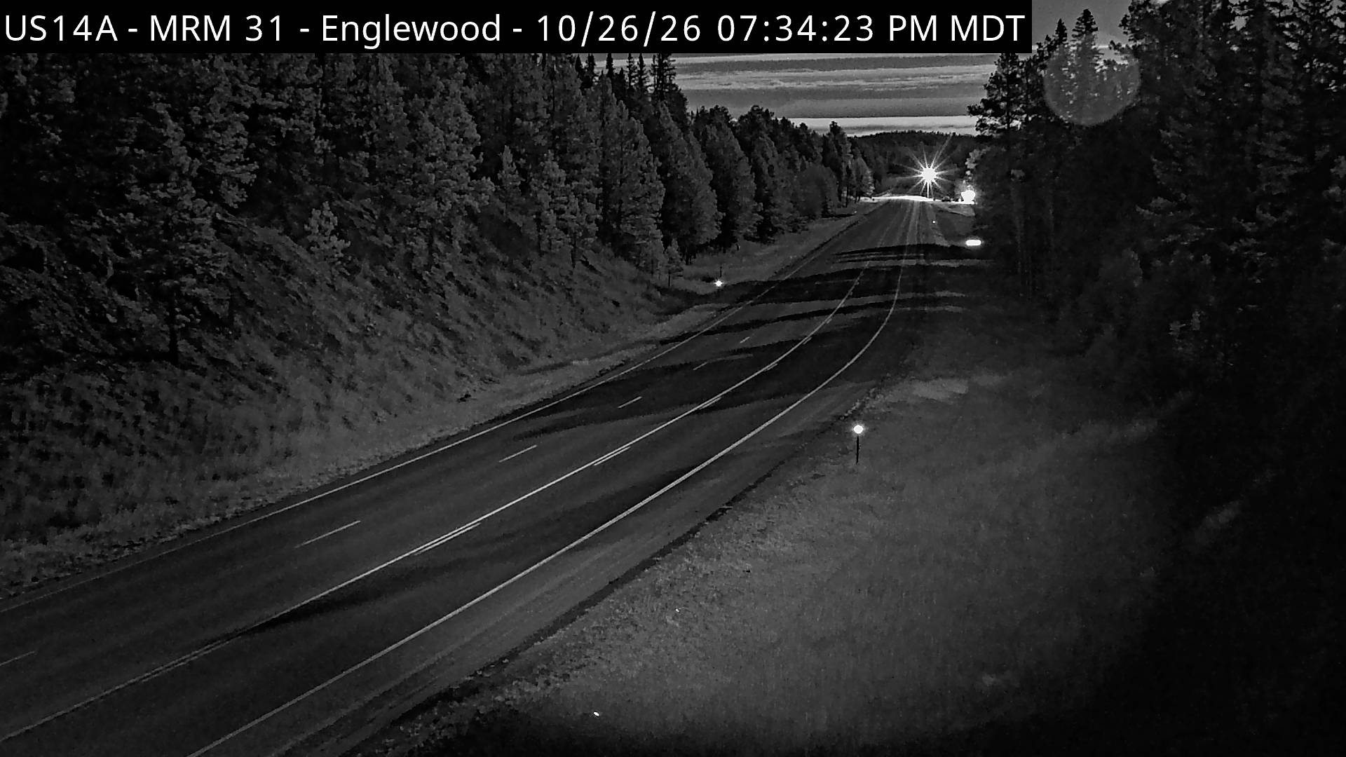
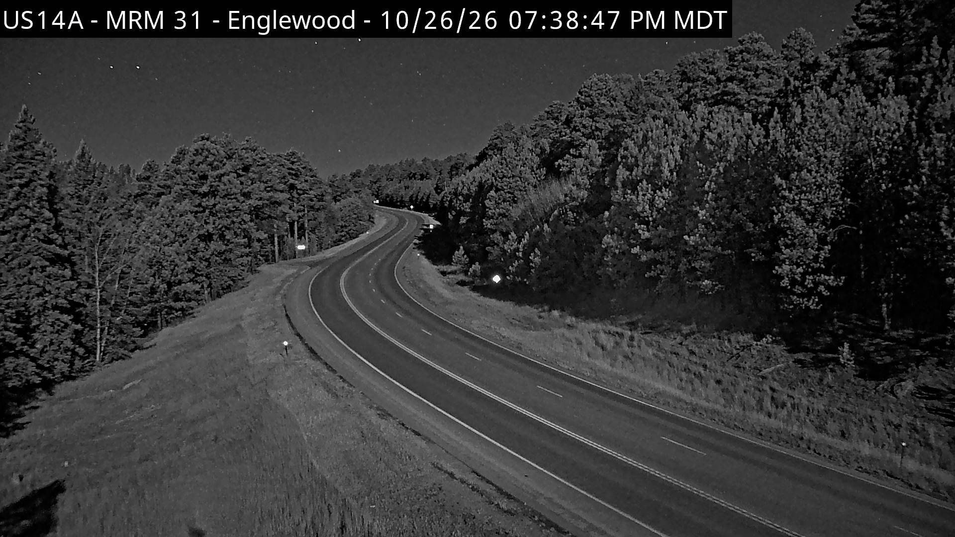

Towns near Terry Peak
- Sturgis28 km away
- Belle Fourche37 km away
- Summerset42 km away
- Rapid City56 km away