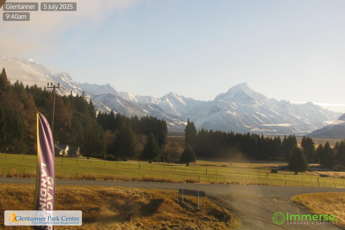
Mountains in New Zealand
The Footstool
2,764 m9,068 ft
Mountain · Aroarokaehe Range · New Zealand
At the summit · forecast for 7:00 AM
-12 °CPartly cloudy · wind 16 km/h from the N
 See it in 3D
Weather at the summit of The Footstool, 2,764 m
- 7:00 AM-12 °CN 16 km/h–
- 10:00 AM-9 °CNW 21 km/h0.2 mm
- 1:00 PM-8 °CNW 21 km/h2.2 mm
- 4:00 PM-8 °CN 19 km/h8.3 mm
- 7:00 PM-8 °CNW 16 km/h11.5 mm
- 10:00 PM-7 °CNW 18 km/h13.1 mm
- 1:00 AM-7 °CNW 16 km/h15.5 mm
- 4:00 AM-7 °CNW 10 km/h2.4 mm
| Day | Sky | High / low | Rain | Wind up to |
|---|---|---|---|---|
| Today | Snow | -7 °C / -12 °C | 30.8 mm | 21 km/h |
| Thu, Oct 29 | Snow | -7 °C / -12 °C | 25.8 mm | 17 km/h |
| Fri, Oct 30 | Partly cloudy | -7 °C / -11 °C | 19.5 mm | 15 km/h |
| Sat, Oct 31 | Mostly clear | -6 °C / -17 °C | 0.3 mm | 6 km/h |
| Sun, Nov 1 | Snow | -5 °C / -7 °C | 7.8 mm | 12 km/h |
| Mon, Nov 2 | Heavy snow | -3 °C / -6 °C | 36.7 mm | 15 km/h |
| Tue, Nov 3 | Heavy snow | -3 °C / -4 °C | 60.8 mm | 12 km/h |
Forecast by MET Norway (CC BY 4.0), updated 02:17 PM GMT+13. Times are local.
Facts
- What it is
- Mountain
- Height above sea level
- 2,764 m (9,068 ft)
- Range
- Aroarokaehe Range
- Country
- New Zealand
- Coordinates
- 43.676°S 170.064°E
- Source
- Wikidata, CC0
Peaks near The Footstool
- Mount Sefton3,151 m · 1.9 km awayOn the map
- Du Faur Peak2,330 m · 2.1 km awayOn the map
- Mount Thomson2,642 m · 4.7 km awayOn the map
- Mount Wakefield2,058 m · 5.2 km awayOn the map
- Mount Ollivier1,933 m · 5.5 km awayOn the map
- Dilemma Peak2,594 m · 6 km awayOn the map
- Mount Rosa2,161 m · 7.2 km awayOn the map
- Mount Isabel2,598 m · 7.4 km awayOn the map
- La Perouse3,078 m · 8.6 km awayOn the map
- Nazomi2,925 m · 8.7 km awayOn the map
Highest mountains in New Zealand
- Aoraki / Mount Cook3,724 mOn the map
- Mount Tasman3,497 mOn the map
- Malte-Brun3,199 mOn the map
- Mount Sefton3,151 mOn the map
- Mount Elie De Beaumont3,109 mOn the map
- La Perouse3,078 mOn the map
- Douglas Peak3,077 mOn the map
- The Minarets3,040 mOn the map
- Mount Aspiring / Tititea3,033 mOn the map
- Mount Hamilton3,025 mOn the map