Mountains in United States
See it in 3DTierra Redonda Mountain
Mountain · Santa Lucia Range · United States
Tierra Redonda Mountain is a mountain in northwestern San Luis Obispo County, California. It is in the eastern portion of the Santa Lucia Range, separated from the main ridge by the Nacimiento River.
From Wikipedia, CC BY-SA · Read the article
At the summit · forecast for 4:00 AM
48 °FClear · wind 3 mph from the NW
Tierra Redonda Mountain weather forecast
- 4:00 AM48 °FNW 3 mph–
- 7:00 AM47 °FNW 4 mph–
- 10:00 AM57 °FNE 3 mph–
- 1:00 PM67 °FE 5 mph–
- 4:00 PM70 °FE 6 mph–
- 7:00 PM62 °FE 1 mph–
- 10:00 PM58 °FNE 3 mph–
- 1:00 AM55 °FNW 2 mph–
| Day | Sky | High / low | Rain | Wind up to |
|---|---|---|---|---|
| Today | Partly cloudy | 70 °F / 47 °F | – | 6 mph |
| Thu, Oct 29 | Cloudy | 69 °F / 53 °F | – | 8 mph |
| Fri, Oct 30 | Rain | 64 °F / 52 °F | 0.13 in | 6 mph |
| Sat, Oct 31 | Cloudy | 63 °F / 49 °F | 0.01 in | 8 mph |
| Sun, Nov 1 | Clear | 63 °F / 47 °F | – | 12 mph |
| Mon, Nov 2 | Mostly clear | 72 °F / 47 °F | – | 4 mph |
| Tue, Nov 3 | Clear | 77 °F / 52 °F | – | 3 mph |
Forecast by MET Norway (CC BY 4.0), updated 06:17 PM PDT. Times are local.
Facts
- What it is
- Mountain
- Range
- Santa Lucia Range
- Country
- United States
- Coordinates
- 35.771°N 120.986°W
- Source
- Wikidata, CC0
Peaks near Tierra Redonda Mountain
- Black Hill663 ft · 48 km awayOn the map
- Cerro Cabrillo914 ft · 49 km awayOn the map
- Hollister Peak1,411 ft · 51 km awayOn the map
- Cerro Romauldo1,306 ft · 56 km awayOn the map
- Junipero Serra Peak5,857 ft · 57 km awayOn the map
- Chumash Peak1,268 ft · 57 km awayOn the map
- Bishop Peak1,549 ft · 58 km awayOn the map
- Cerro AltoMountain · 46 km awayOn the map
- Cone PeakMountain · 56 km awayOn the map
- Mustang PeakMountain · 56 km awayOn the map
Highest in the Santa Lucia Range
- Junipero Serra Peak5,857 ftOn the map
- Ventana Double Cone4,856 ftOn the map
- Bishop Peak1,549 ftOn the map
- Hollister Peak1,411 ftOn the map
- Cerro Romauldo1,306 ftOn the map
- Cerro Cabrillo914 ftOn the map
- Islay Hill774 ftOn the map
Highest mountains in United States
- Denali20,308 ftOn the map
- Mount Saint Elias18,009 ftOn the map
- Mount Foraker17,402 ftOn the map
- Mount Bona16,535 ftOn the map
- Mount Blackburn16,390 ftOn the map
- Mount Sanford16,237 ftOn the map
- Mount Vancouver15,787 ftOn the map
- Mount Churchill15,636 ftOn the map
- Mount Fairweather15,325 ftOn the map
- Mount Hubbard14,951 ftOn the map
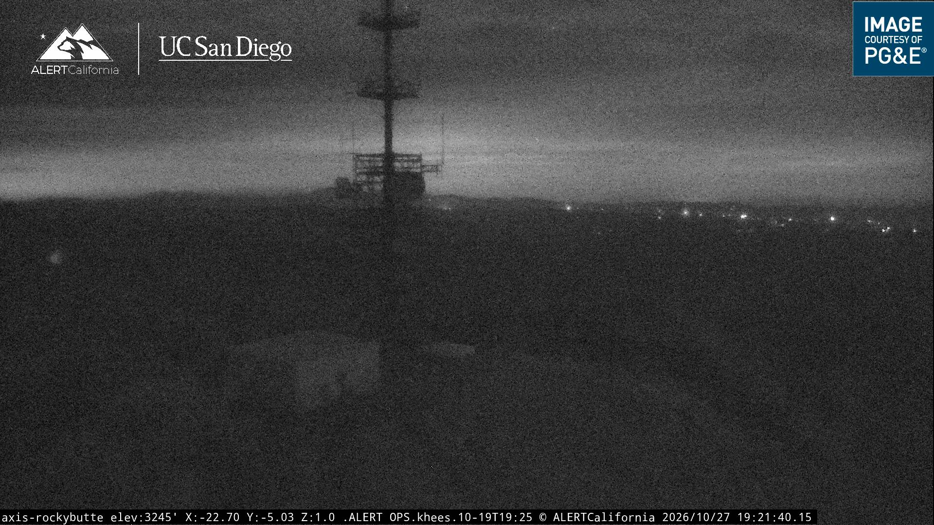
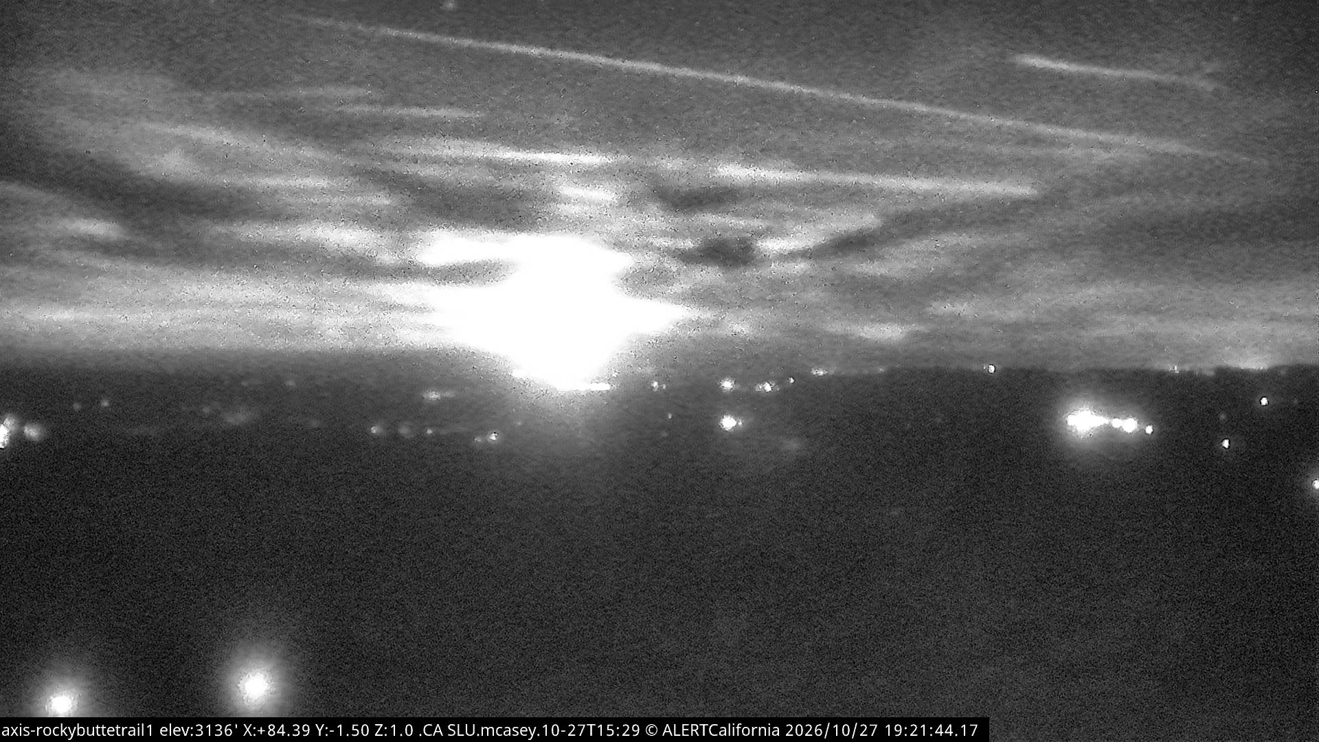
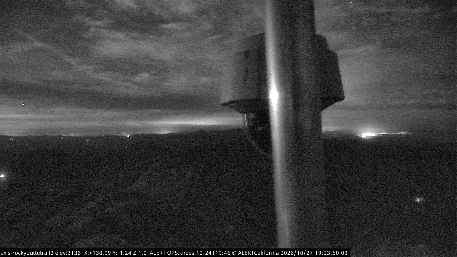
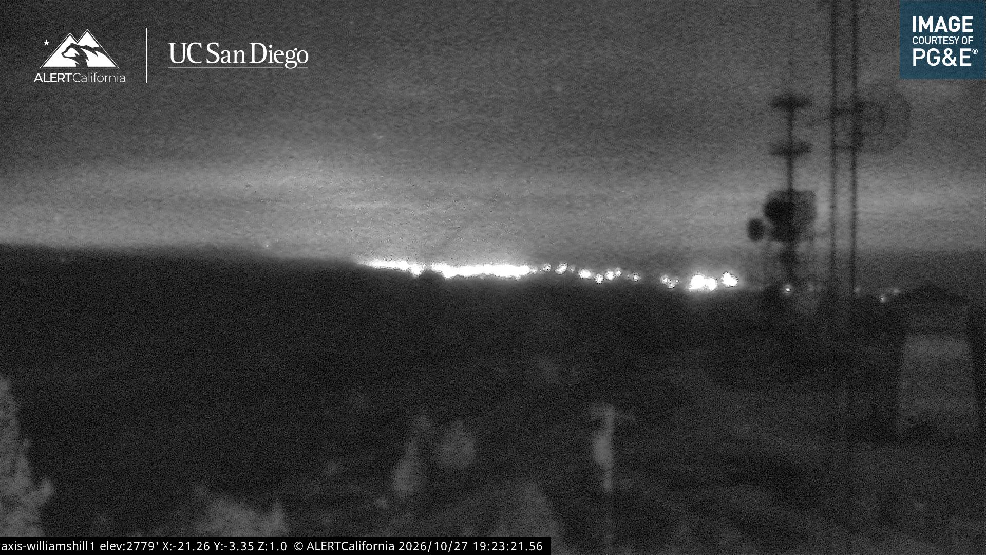
Webcams near Tierra Redonda Mountain
History around Tierra Redonda Mountain
Towns near Tierra Redonda Mountain
- Paso Robles31 km away
- Atascadero42 km away
- Morro Bay46 km away
- King City51 km away
- San Luis Obispo62 km away
- Greenfield65 km away