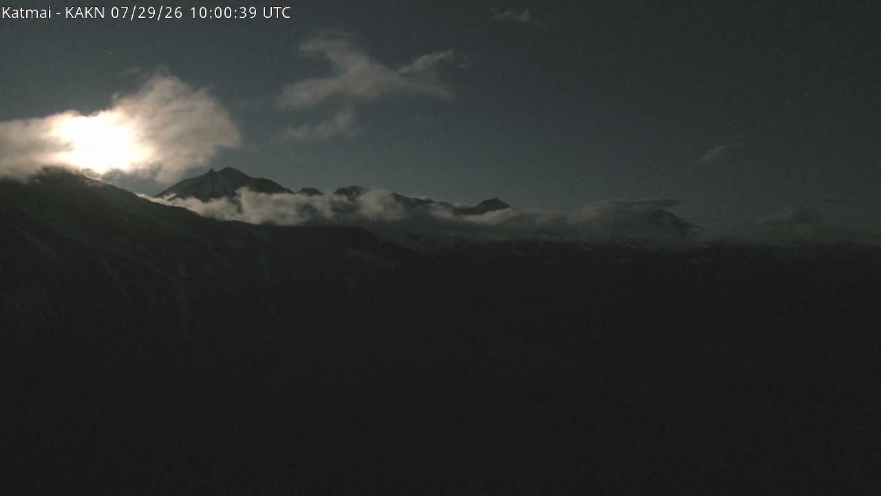
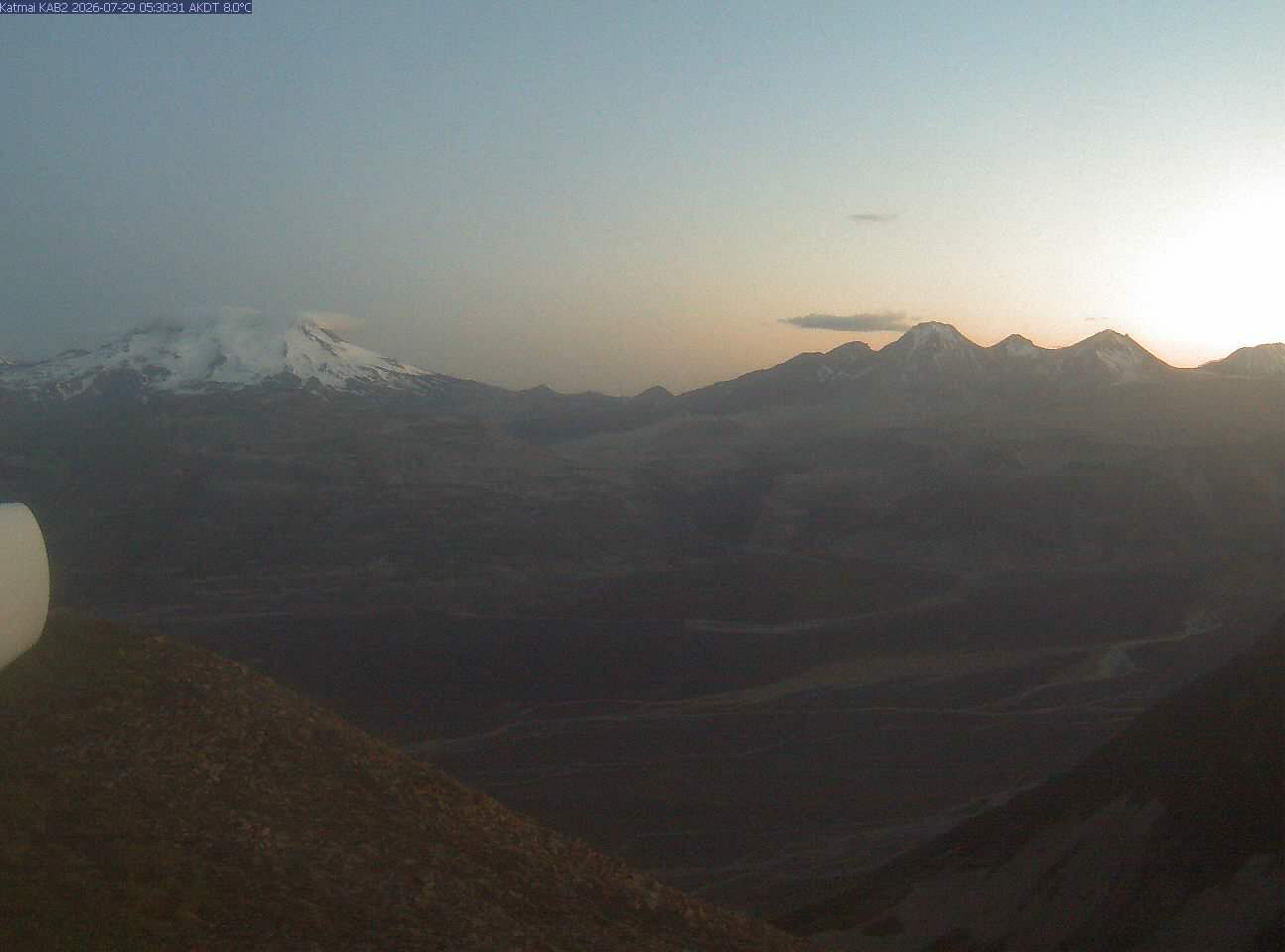
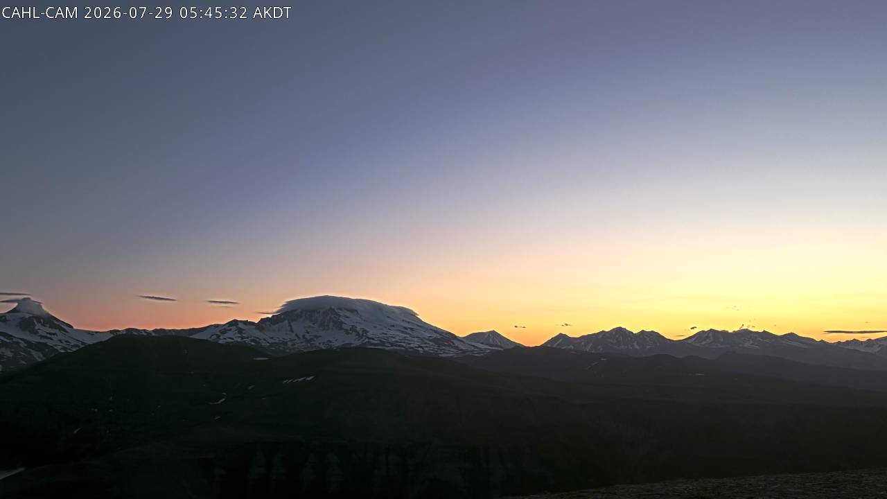
Mountains in United States
Trident Volcano
6,115 ft1,864 m
Volcano · Aleutian Range · United States
At the summit · forecast for 12:00 AM
24 °FLight snow · wind 8 mph from the NW
 See it in 3D
Weather at the summit of Trident Volcano, 6,115 ft
- 12:00 AM24 °FNW 8 mph0 in
- 3:00 AM24 °FNW 5 mph–
- 6:00 AM25 °FN 5 mph–
- 9:00 AM22 °FN 5 mph–
- 12:00 PM22 °FN 4 mph–
- 3:00 PM20 °FE 4 mph–
- 6:00 PM18 °FNE 4 mph–
- 9:00 PM21 °FE 5 mph–
| Day | Sky | High / low | Rain | Wind up to |
|---|---|---|---|---|
| Tue, Oct 27 | Clear | 25 °F / 18 °F | 0 in | 8 mph |
| Wed, Oct 28 | Light snow | 23 °F / 17 °F | 0.47 in | 14 mph |
| Thu, Oct 29 | Partly cloudy | 24 °F / 21 °F | 0.88 in | 11 mph |
| Fri, Oct 30 | Snow | 21 °F / 19 °F | 1.51 in | 6 mph |
| Sat, Oct 31 | Heavy snow | 19 °F / 16 °F | 1.13 in | 5 mph |
| Sun, Nov 1 | Cloudy | 19 °F / 11 °F | 0.06 in | 3 mph |
| Mon, Nov 2 | Cloudy | 18 °F / 10 °F | 0.02 in | 4 mph |
Forecast by MET Norway (CC BY 4.0), updated 11:20 PM UTC. Times are local.
Facts
- What it is
- Volcano
- Height above sea level
- 6,115 ft (1,864 m)
- Range
- Aleutian Range
- Country
- United States
- Coordinates
- 58.235°N 155.104°W
- Volcano number
- 312160 at the Global Volcanism Program
- Source
- Wikidata, CC0
15 recorded eruptions
- Eruption in 1974
- Eruption in 1968
- Eruption in 1967
- Eruption in 1966
- Eruption in 1964
- Eruption in 1963
- Eruption in 1963
- Eruption in 1962
- Eruption in 1961
- Eruption in 1957
- Eruption in 1956
- Eruption in 1953
The latest 12 of 15, from the Smithsonian’s Global Volcanism Program through History.
Peaks near Trident Volcano
- Novarupta2,759 ft · 4.7 km awayOn the map
- Mount Mageik7,103 ft · 9.8 km awayOn the map
- Mount Katmai6,716 ft · 10 km awayOn the map
- Mount Griggs7,602 ft · 13 km awayOn the map
- Mount Martin6,099 ft · 17 km awayOn the map
- Snowy Mountain7,093 ft · 27 km awayOn the map
- Mount Denison7,606 ft · 43 km awayOn the map
- Mount Steller7,454 ft · 47 km awayOn the map
- Mount Kukak6,499 ft · 50 km awayOn the map
- Devils Desk6,401 ft · 54 km awayOn the map
Highest in the Aleutian Range
- Mount Shishaldin9,373 ftOn the map
- Mount Pavlof8,264 ftOn the map
- Mount Veniaminof8,225 ftOn the map
- Isanotski Peaks8,106 ftOn the map
- Mount Denison7,606 ftOn the map
- Mount Griggs7,602 ftOn the map
- Mount Steller7,454 ftOn the map
- Mount Mageik7,103 ftOn the map
- Trident Volcano6,115 ftOn the map
Highest mountains in United States
- Denali20,308 ftOn the map
- Mount Saint Elias18,009 ftOn the map
- Mount Foraker17,402 ftOn the map
- Mount Bona16,535 ftOn the map
- Mount Blackburn16,390 ftOn the map
- Mount Sanford16,237 ftOn the map
- Mount Vancouver15,787 ftOn the map
- Mount Churchill15,636 ftOn the map
- Mount Fairweather15,325 ftOn the map
- Mount Hubbard14,951 ftOn the map