Mountains in Iceland
Trölladyngja
378 m1,240 ft
Volcano · Iceland
Trölladyngja ist ein Berg auf der südwestisländischen Halbinsel Reykjanes. Es handelt sich um einen Palagonitkegel von 379 m Höhe.
From German Wikipedia, CC BY-SA · Read the article
At the summit · forecast for 11:00 AM
3 °CCloudy · wind 26 km/h from the W
 See it in 3D
Weather at the summit of Trölladyngja, 378 m
- 11:00 AM3 °CW 26 km/h–
- 2:00 PM4 °CW 20 km/h–
- 5:00 PM2 °CSE 6 km/h–
- 8:00 PM1 °CE 30 km/h–
- 11:00 PM2 °CE 44 km/h0.3 mm
- 2:00 AM3 °CE 49 km/h1.4 mm
- 5:00 AM5 °CSE 62 km/h5.3 mm
- 8:00 AM7 °CSE 49 km/h1.1 mm
| Day | Sky | High / low | Rain | Wind up to |
|---|---|---|---|---|
| Today | Cloudy | 4 °C / 1 °C | – | 44 km/h |
| Thu, Oct 29 | Partly cloudy | 7 °C / 3 °C | 10.8 mm | 62 km/h |
| Fri, Oct 30 | Light rain | 5 °C / 3 °C | 6.6 mm | 34 km/h |
| Sat, Oct 31 | Rain | 4 °C / 2 °C | 6.7 mm | 31 km/h |
| Sun, Nov 1 | Rain | 6 °C / 2 °C | 10.2 mm | 29 km/h |
| Mon, Nov 2 | Rain | 7 °C / 6 °C | 7 mm | 36 km/h |
| Tue, Nov 3 | Light rain | 7 °C / 4 °C | 10.6 mm | 44 km/h |
Forecast by MET Norway (CC BY 4.0), updated 05:22 AM GMT. Times are local.
Facts
- What it is
- Volcano
- Height above sea level
- 378 m (1,240 ft)
- Country
- Iceland
- Coordinates
- 63.933°N 22.100°W
- Volcano number
- 371030 at the Global Volcanism Program
- Source
- Wikidata, CC0
Peaks near Trölladyngja
- Krýsuvík360 m · 0.3 km awayOn the map
- Keilir378 m · 3.7 km awayOn the map
- Sveifluháls395 m · 4.7 km awayOn the map
- Litli-Hrútur312 m · 5.8 km awayOn the map
- Fagradalsfjall385 m · 9 km awayOn the map
- Brennisteinsfjöll621 m · 13 km awayOn the map
- Helgafell340 m · 15 km awayOn the map
- Búrfell180 m · 17 km awayOn the map
- Þorbjörn243 m · 18 km awayOn the map
- Svartsengi243 m · 18 km awayOn the map
Highest mountains in Iceland
- Öræfajökull2,110 mOn the map
- Highlands of Iceland2,110 mOn the map
- Hvannadalshnúkur2,110 mOn the map
- Bárðarbunga2,010 mOn the map
- Kverkfjöll1,933 mOn the map
- Hrútsfjallstindar1,875 mOn the map
- Snæfell1,833 mOn the map
- Esjufjöll1,760 mOn the map
- Grímsvötn1,725 mOn the map
- Herðubreið1,682 mOn the map
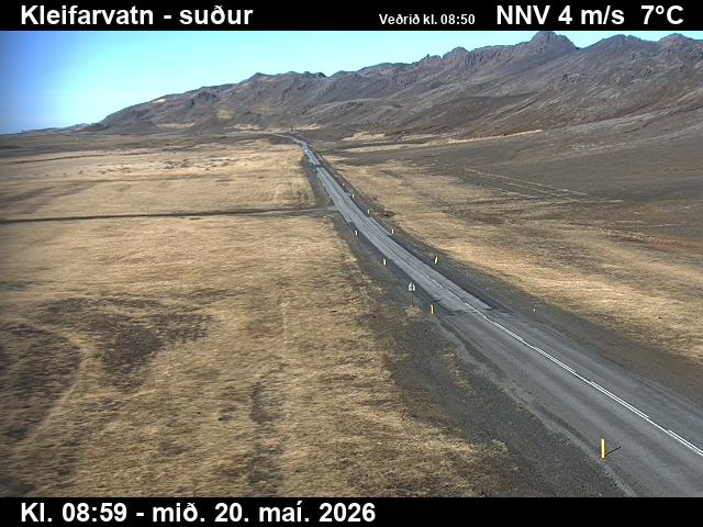
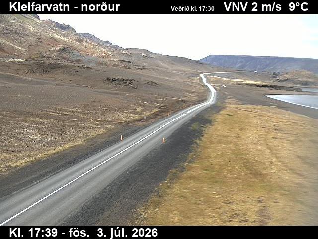
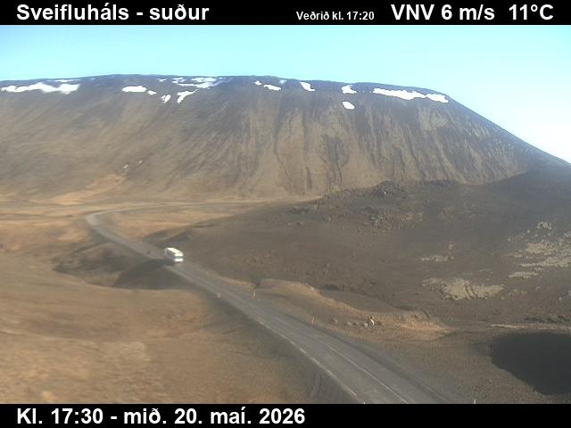
Webcams near Trölladyngja
History around Trölladyngja
Towns near Trölladyngja
- Hafnarfjörður17 km away
- Kópavogur22 km away
- Reykjanesbær24 km away
- Keflavík24 km away
- Reykjavík25 km away