Mountains in Austria
See it in 3DTschwarzenberg
882 m2,894 ft
Mountain · Wimitzer Berge · Austria
Der Tschwarzenberg ist eine 882 m ü. A. hohe Erhebung in der Gemeinde Feldkirchen in Kärnten in Kärnten in den Wimitzer Bergen. Von den Einheimischen wird der Tschwarzenberg oft auch einfach „Tschwarzen“ wie die gleichlautende Katastralgemeinde bzw. Ortschaft genannt.
From German Wikipedia, CC BY-SA · Read the article
At the summit · forecast for 7:00 AM
1 °CPartly cloudy · wind 3 km/h from the NE
Weather at the summit of Tschwarzenberg, 882 m
- 7:00 AM1 °CNE 3 km/h–
- 10:00 AM4 °CSW 3 km/h–
- 1:00 PM7 °CSE 5 km/h–
- 4:00 PM8 °CE 4 km/h–
- 7:00 PM5 °CW 2 km/h–
- 10:00 PM4 °CNW 3 km/h–
- 1:00 AM3 °CNW 2 km/h–
- 4:00 AM2 °CNW 3 km/h–
| Day | Sky | High / low | Rain | Wind up to |
|---|---|---|---|---|
| Today | Partly cloudy | 8 °C / 1 °C | – | 5 km/h |
| Wed, Oct 28 | Partly cloudy | 13 °C / 2 °C | – | 6 km/h |
| Thu, Oct 29 | Partly cloudy | 12 °C / 4 °C | – | 13 km/h |
| Fri, Oct 30 | Clear | 9 °C / 2 °C | – | 5 km/h |
| Sat, Oct 31 | Mostly clear | 8 °C / 1 °C | – | 3 km/h |
| Sun, Nov 1 | Clear | 8 °C / 2 °C | – | 3 km/h |
| Mon, Nov 2 | Clear | 9 °C / 1 °C | – | 6 km/h |
Forecast by MET Norway (CC BY 4.0), updated 06:20 AM GMT+1. Times are local.
Facts
- What it is
- Mountain
- Height above sea level
- 882 m (2,894 ft)
- Range
- Wimitzer Berge
- Country
- Austria
- Coordinates
- 46.742°N 14.122°E
- Source
- Wikidata, CC0
Peaks near Tschwarzenberg
- Pyramidenkogel850 m · 15 km awayOn the map
- Gerlitzen1,909 m · 17 km awayOn the map
- Eisenhut2,441 m · 28 km awayOn the map
- Golica1,835 m · 28 km awayOn the map
- Mittagskogel2,145 m · 29 km awayOn the map
- Dovška Baba1,891 m · 30 km awayOn the map
- Mallestiger Mittagskogel1,801 m · 31 km awayOn the map
- Trupejevo Poldne1,931 m · 32 km awayOn the map
- Vrtača2,180 m · 34 km awayOn the map
- Stol / Hochstuhl2,237 m · 34 km awayOn the map
Highest in the Wimitzer Berge
- Gauerstall1,129 mOn the map
- Tschwarzenberg882 mOn the map
Highest mountains in Austria
- Grossglockner3,798 mOn the map
- Wildspitze3,768 mOn the map
- Weißkugel3,738 mOn the map
- Großvenediger3,657 mOn the map
- Hintere Schwärze3,624 mOn the map
- Großes Wiesbachhorn3,564 mOn the map
- Ramolkogel3,549 mOn the map
- Schalfkogel3,537 mOn the map
- Watzespitze3,532 mOn the map
- Fineilspitze3,514 mOn the map
Webcams near Tschwarzenberg
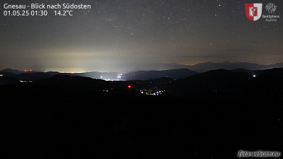 Gnesau - Blick nach Südosten9.9 km from the summit
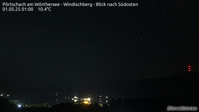 Pörtschach am Wörthersee - Windischberg - Blick nach Südosten11 km from the summit
A02, zwischen Pörtschach Ost und Pörtschach West, Blickrichtung Klagenfurt - Km 336,5911 km from the summit
A02, bei Pörtschach West, Blickrichtung Arnoldstein / I - Km 338,1912 km from the summit
History around Tschwarzenberg
Towns near Tschwarzenberg
- Klagenfurt am Wörthersee19 km away
- Villach25 km away
- Wolfsberg56 km away
- Kranj59 km away