Facts
- What it is
- Mountain
- Height above sea level
- 1,091 m (3,578 ft)
- Prominence
- 43 m (139 ft)
- Isolation
- 4.3 km to higher ground
- Country
- Norway
- Coordinates
- 61.252°N 10.919°E
- Source
- Wikidata, CC0
Peaks near Tua
- Nevelfjell1,092 m · 19 km awayOn the map
- Skeikampen1,123 m · 46 km awayOn the map
- hill-134722626Hill · 2.2 km awayOn the map
- Storbekkfjellet1,120 m · 5.6 km awayOn the map
- Storhorta1,031 m · 13 km awayOn the map
- Hemmelfjellet885 m · 16 km awayOn the map
- Engulvsfjellet857 m · 19 km awayOn the map
- Hafjell1,066 m · 21 km awayOn the map
- mountain-131275811566 m · 26 km awayOn the map
- Eldåhøgda1,232 m · 28 km awayOn the map
Highest mountains in Norway
- Galdhøpiggen2,469 mOn the map
- Glittertind2,464 mOn the map
- Store Skagastølstind2,406 mOn the map
- Surtningssue2,368 mOn the map
- Store Memurutinden2,365 mOn the map
- Store Hellstugutinden2,346 mOn the map
- Store Knutsholstinden2,339 mOn the map
- Tjørnholstind2,323 mOn the map
- Bukkehøe2,314 mOn the map
- Dovrefjell2,286 mOn the map
Webcams near Tua
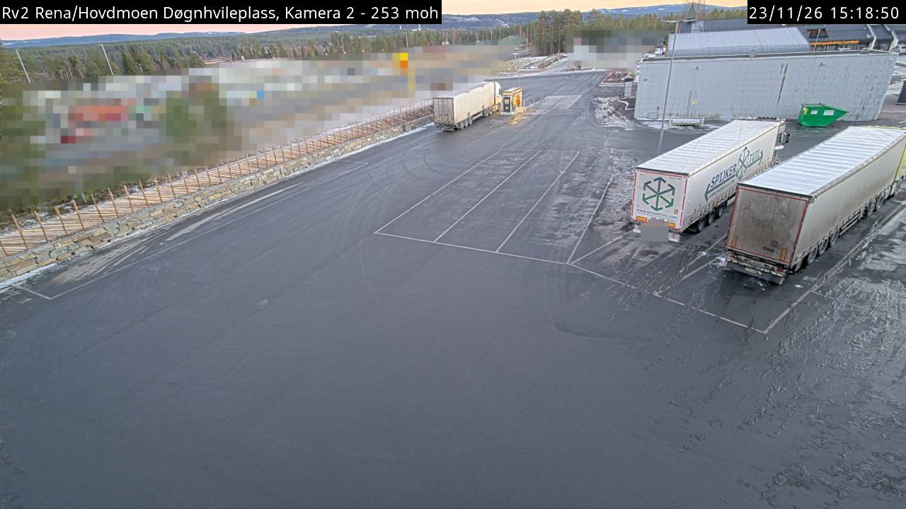
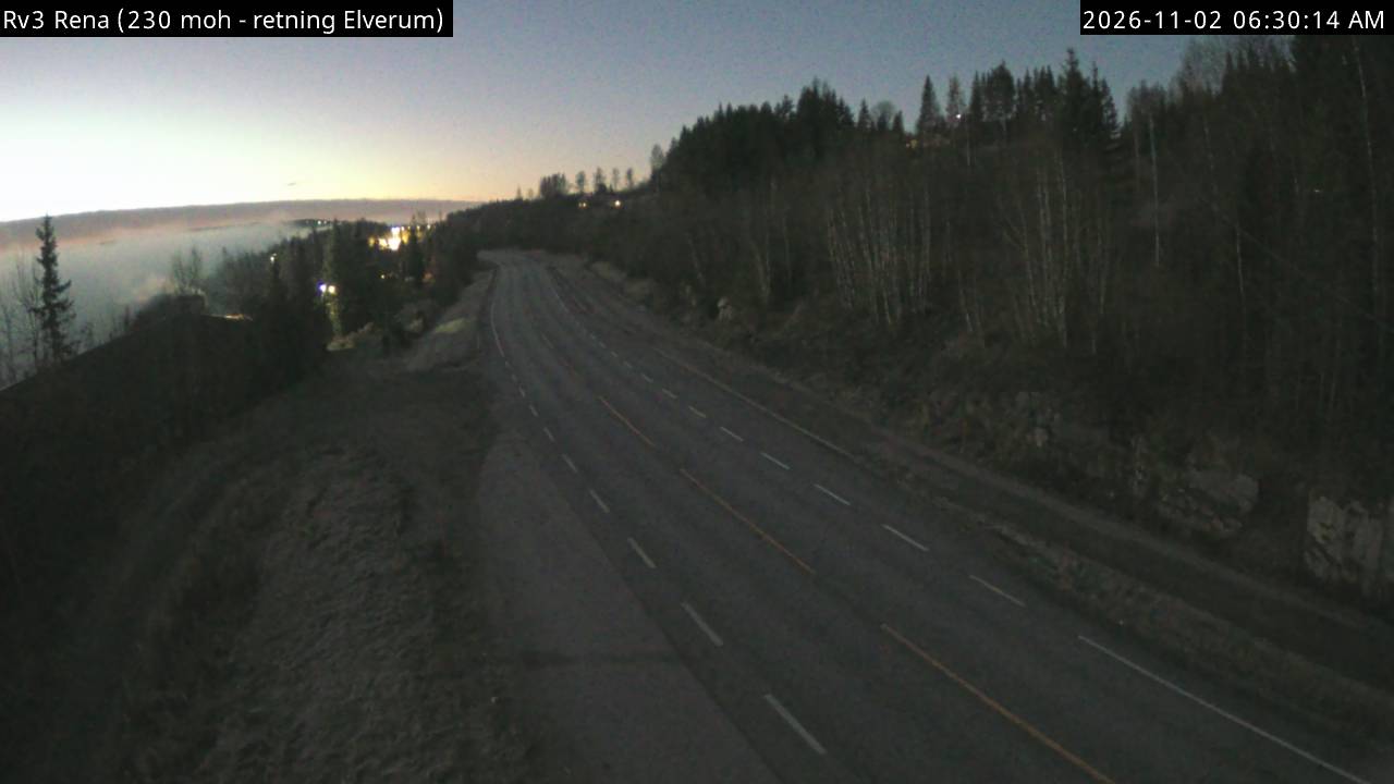
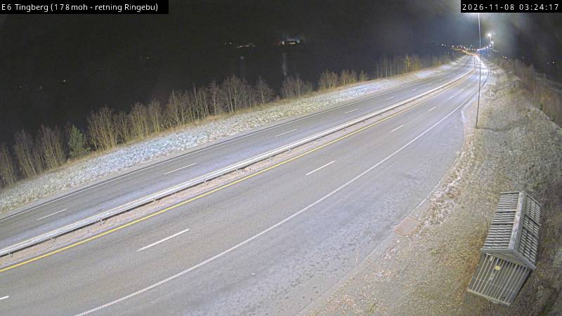
Towns near Tua
- Lillehammer29 km away
- Hamar51 km away
- Gjøvik52 km away