Vítkov
271 m889 ft
Mountain · Prague Plateau · Czechia
Der Vítkov ist ein 271 m n.m. hoher Hügel in Prag. Die großteils von Wald bedeckte längliche Erhebung trennt den nördlich liegenden Stadtteil Karlín vom südlich liegenden Žižkov. Das Nationaldenkmal mit der kolossalen Reiterstatue Jan Žižkas dominiert den Hügel nach Westen, zum Stadtzentrum hin.
From German Wikipedia, CC BY-SA · Read the article
At the summit · forecast for 1:00 AM
4 °CPartly cloudy · wind 10 km/h from the S
 See it in 3D
Weather at the summit of Vítkov, 271 m
- 1:00 AM4 °CS 10 km/h–
- 4:00 AM4 °CS 10 km/h–
- 7:00 AM5 °CS 11 km/h–
- 10:00 AM8 °CS 8 km/h–
- 1:00 PM13 °CSE 10 km/h–
- 4:00 PM12 °CSE 7 km/h–
- 7:00 PM8 °CSE 11 km/h–
- 10:00 PM7 °CS 12 km/h–
| Day | Sky | High / low | Rain | Wind up to |
|---|---|---|---|---|
| Today | Clear | 13 °C / 4 °C | – | 12 km/h |
| Wed, Oct 28 | Cloudy | 11 °C / 3 °C | 3.6 mm | 12 km/h |
| Thu, Oct 29 | Mostly clear | 11 °C / 5 °C | – | 12 km/h |
| Fri, Oct 30 | Mostly clear | 10 °C / 3 °C | – | 4 km/h |
| Sat, Oct 31 | Cloudy | 10 °C / 5 °C | – | 9 km/h |
| Sun, Nov 1 | Partly cloudy | 8 °C / 3 °C | – | 3 km/h |
| Mon, Nov 2 | Clear | 10 °C / 6 °C | – | 12 km/h |
Forecast by MET Norway (CC BY 4.0), updated 12:19 AM GMT+1. Times are local.
Facts
- What it is
- Mountain
- Height above sea level
- 271 m (889 ft)
- Range
- Prague Plateau
- Country
- Czechia
- Coordinates
- 50.089°N 14.452°E
- Source
- Wikidata, CC0
Vítkov (Berg)
Berg in Prag, Tschechien
Der Vítkov ist ein 271 m n.m. hoher Hügel in Prag. Die großteils von Wald bedeckte längliche Erhebung trennt den nördlich liegenden Stadtteil Karlín vom südlich liegenden Žižkov. Das Nationaldenkmal mit der kolossalen Reiterstatue Jan Žižkas dominiert den Hügel nach Westen, zum Stadtzentrum hin. Daran grenzen ein 15 Hektar großer Park und eine Sportanlage an. Am Fuß des Hügels liegt das Militärmuseum Žižkov.
From German Wikipedia, CC BY-SA · Read the article
Peaks near Vítkov
- Vrch sv. Kříže276 m · 0.8 km awayOn the map
- Letná265 m · 2.6 km awayOn the map
- Petřín331 m · 4.2 km awayOn the map
- Bílá hora381 m · 9.5 km awayOn the map
- Přerovská hůra236 m · 29 km awayOn the map
- Říp Mountain461 m · 35 km awayOn the map
- Mezivrata713 m · 56 km awayOn the map
- Vlhošť614 m · 57 km awayOn the map
- Blaník638 m · 58 km awayOn the map
- Brabenec297 m · 5.2 km awayOn the map
Highest in the Prague Plateau
- Kopanina393 mOn the map
- Kamínek381 mOn the map
- Bílá hora381 mOn the map
- Ers345 mOn the map
- hill-110701018310 mOn the map
- Děvín310 mOn the map
- Milíčovský vrch309 mOn the map
- hill-61863794308 mOn the map
- Vítkov271 mOn the map
Highest mountains in Czechia
- Sněžka1,603 mOn the map
- Wielki Szyszak1,510 mOn the map
- Praděd1,491 mOn the map
- Smogornia1,490 mOn the map
- Mały Szyszak1,440 mOn the map
- Keprník1,423 mOn the map
- Králický Sněžník1,423 mOn the map
- Plechý / Plöckenstein1,379 mOn the map
- Bayerischer Plöckenstein1,362 mOn the map
- Boubín1,362 mOn the map
Webcams near Vítkov
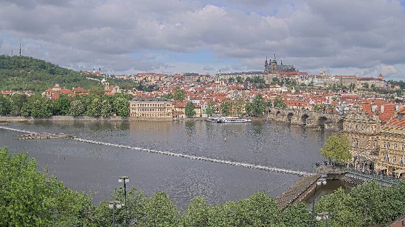
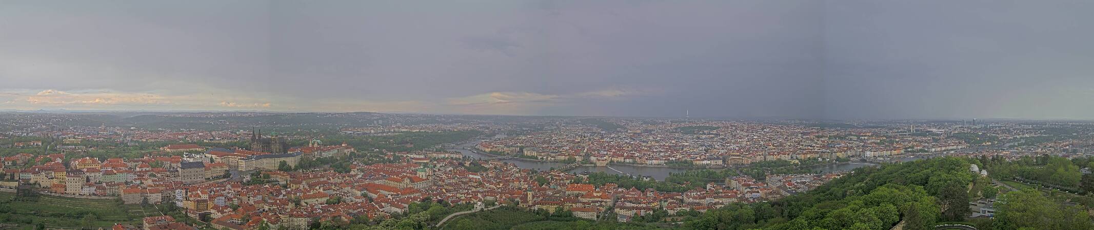

History around Vítkov
Towns near Vítkov
- Žižkov0.7 km away
- Holešovice1.7 km away
- Královské Vinohrady1.8 km away
- Prague2.2 km away
- Vršovice2.5 km away
- Nové Město2.5 km away