Facts
- What it is
- Mountain
- Country
- Norway
- Coordinates
- 63.607°N 11.949°E
- Source
- Wikidata, CC0
Peaks near Voertjeværje
- Storsnasen1,463 m · 46 km awayOn the map
- Fongen1,443 m · 50 km awayOn the map
- Forbordsfjellet590 m · 53 km awayOn the map
- Åreskutan1,420 m · 60 km awayOn the map
- Storkjølhaugen1,249 m · 9.3 km awayOn the map
- Skjettholvola611 m · 20 km awayOn the map
- mountain-20730301735 m · 22 km awayOn the map
- FonnfjelletMountain · 29 km awayOn the map
- mountain-112460801,172 m · 40 km awayOn the map
- SkarvanMountain · 41 km awayOn the map
Highest mountains in Norway
- Galdhøpiggen2,469 mOn the map
- Glittertind2,464 mOn the map
- Store Skagastølstind2,406 mOn the map
- Surtningssue2,368 mOn the map
- Store Memurutinden2,365 mOn the map
- Store Hellstugutinden2,346 mOn the map
- Store Knutsholstinden2,339 mOn the map
- Tjørnholstind2,323 mOn the map
- Bukkehøe2,314 mOn the map
- Dovrefjell2,286 mOn the map
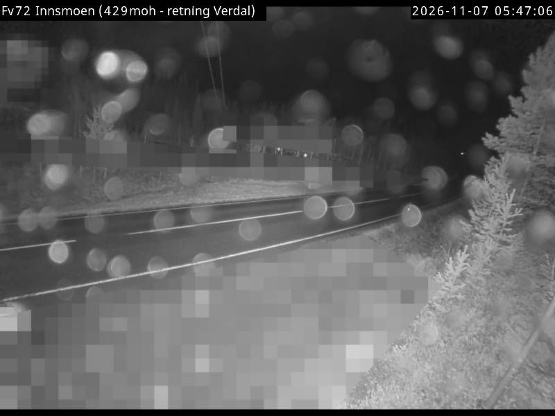
Webcams near Voertjeværje

Towns near Voertjeværje
- Levanger36 km away
- Stjørdalshalsen53 km away
- Trondheim80 km away