 See it in 3D
Facts
- What it is
- Hill
- Country
- Poland
- Coordinates
- 50.749°N 19.274°E
- Source
- Wikidata, CC0
Peaks near Zamek
- Jasna Góra295 m · 14 km awayOn the map
- LipówkiHill · 0.8 km awayOn the map
- hill-86684156Hill · 1 km awayOn the map
- PustelnicaMountain · 2.3 km awayOn the map
- Zielona GóraHill · 4.3 km awayOn the map
- hill-63434305Hill · 8.3 km awayOn the map
- hill-11734698Hill · 9.2 km awayOn the map
- Balikowa Skała257 m · 9.6 km awayOn the map
- SkalkiHill · 11 km awayOn the map
- Skały PustelnikaMountain · 11 km awayOn the map
Highest mountains in Poland
- Świnica2,302 mOn the map
- Kresanica2,122 mOn the map
- Babia Góra1,725 mOn the map
- Sněžka1,603 mOn the map
- Pilsko1,557 mOn the map
- Wielki Szyszak1,510 mOn the map
- Smogornia1,490 mOn the map
- Mały Szyszak1,440 mOn the map
- Králický Sněžník1,423 mOn the map
Webcams near Zamek
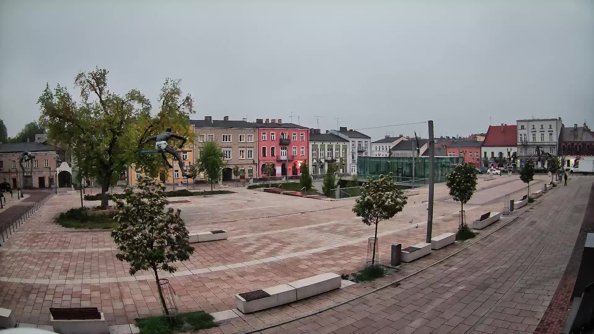
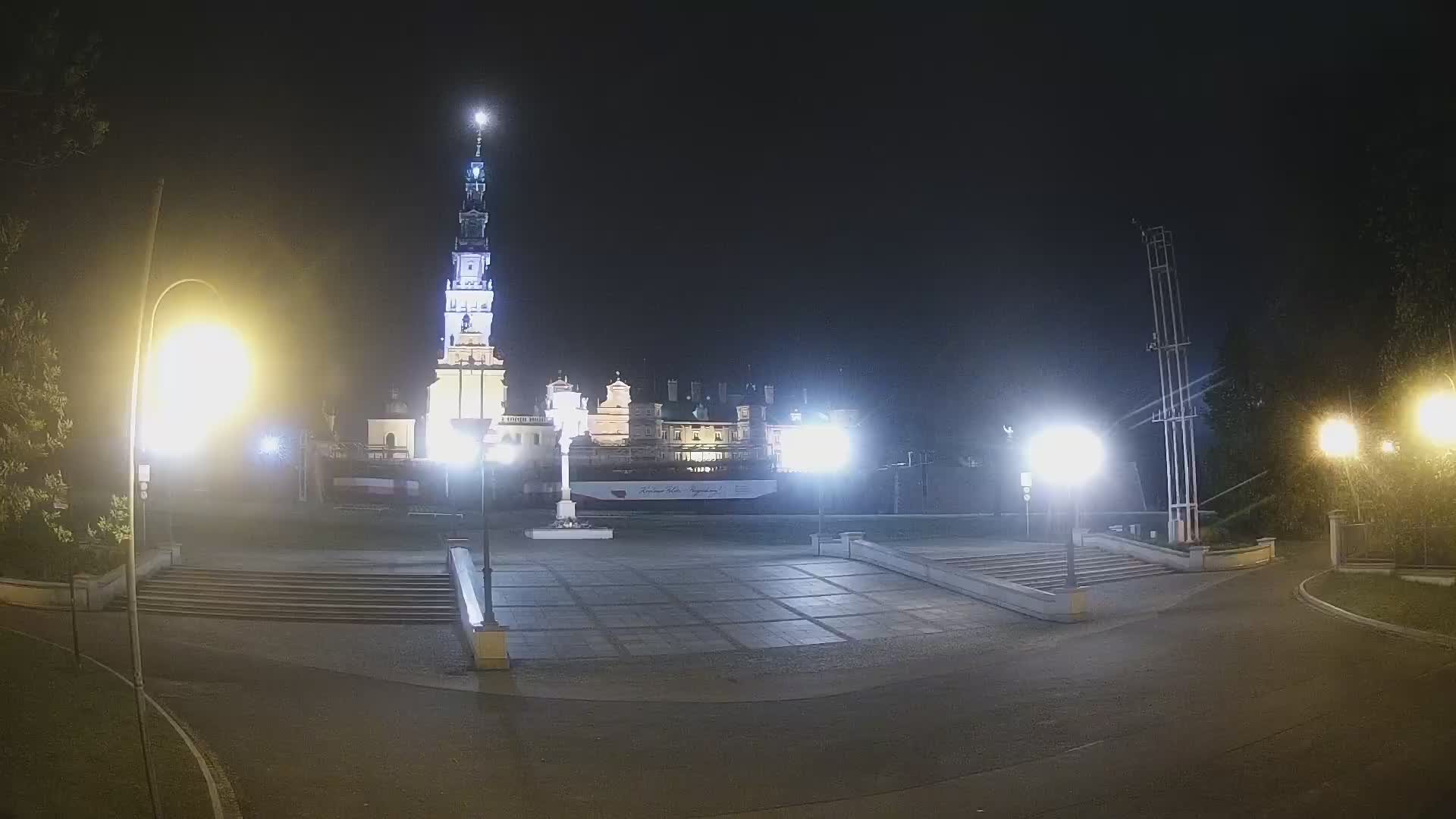

History around Zamek
Towns near Zamek
- Częstochowa12 km away
- Myszków20 km away
- Zawiercie31 km away
- Radomsko37 km away
- Lubliniec42 km away
- Tarnowskie Góry45 km away