Zwölferkogel
2,099 m6,886 ft
Mountain · Prielgruppe · Austria
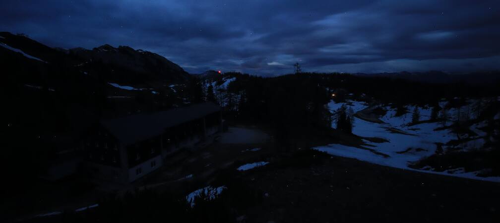
Der Zwölferkogel ist ein 2099 m ü. A. hoher Berg im Toten Gebirge. Er ist der am weitesten nach Norden vorgeschobene Gipfel der Almtaler Sonnenuhr. Der Zwölferkogel fällt nach Norden mit einer steilen Kante ab, während er gegen Osten zum Grießkar mit einer breiten, plattigen Wand abschließt.
From German Wikipedia, CC BY-SA · Read the article
At the summit · forecast for 4:00 PM
2 °CSleet · wind 10 km/h from the NW
 See it in 3D
Weather at the summit of Zwölferkogel, 2,099 m
- 4:00 PM2 °CNW 10 km/h6 mm
- 7:00 PM1 °CNW 9 km/h2.7 mm
- 10:00 PM-0 °CNW 9 km/h0.7 mm
- 1:00 AM-1 °CW 8 km/h0.6 mm
- 4:00 AM-1 °CNW 6 km/h1.4 mm
- 7:00 AM-1 °CNW 6 km/h1.1 mm
- 10:00 AM-1 °CN 5 km/h0.2 mm
- 1:00 PM1 °CN 6 km/h–
| Day | Sky | High / low | Rain | Wind up to |
|---|---|---|---|---|
| Thu, Oct 29 | Cloudy | 1 °C / -2 °C | 3.5 mm | 9 km/h |
| Fri, Oct 30 | Mostly clear | 2 °C / -6 °C | – | 9 km/h |
| Sat, Oct 31 | Partly cloudy | -0 °C / -6 °C | 2.5 mm | 6 km/h |
| Sun, Nov 1 | Snow | -5 °C / -7 °C | 13.9 mm | 5 km/h |
| Mon, Nov 2 | Cloudy | -5 °C / -7 °C | 1.1 mm | 4 km/h |
| Tue, Nov 3 | Cloudy | -6 °C / -8 °C | 1.8 mm | 5 km/h |
| Wed, Nov 4 | Clear | -2 °C / -8 °C | 0.1 mm | 5 km/h |
Forecast by MET Norway (CC BY 4.0), updated 12:19 PM GMT+1. Times are local.
Facts
- What it is
- Mountain
- Height above sea level
- 2,099 m (6,886 ft)
- Range
- Prielgruppe
- Country
- Austria
- Coordinates
- 47.710°N 13.952°E
- Source
- Wikidata, CC0
Zwölferkogel (Totes Gebirge)
Berg im Toten Gebirge an der Grenze Oberösterreich / Steiermark
Der Zwölferkogel ist ein 2099 m ü. A. hoher Berg im Toten Gebirge. Er ist der am weitesten nach Norden vorgeschobene Gipfel der Almtaler Sonnenuhr. Der Zwölferkogel fällt nach Norden mit einer steilen Kante ab, während er gegen Osten zum Grießkar mit einer breiten, plattigen Wand abschließt. In der Ostwand befinden sich Kletterrouten bis in den IV. Schwierigkeitsgrad.
From German Wikipedia, CC BY-SA · Read the article
Peaks near Zwölferkogel
- Rotgschirr2,270 m · 3.4 km awayOn the map
- Großer Priel2,515 m · 8.4 km awayOn the map
- Spitzmauer2,446 m · 8.4 km awayOn the map
- Loser1,837 m · 15 km awayOn the map
- Traunstein1,691 m · 20 km awayOn the map
- Feuerkogel1,592 m · 21 km awayOn the map
- Grimming2,351 m · 22 km awayOn the map
- Warscheneck2,388 m · 23 km awayOn the map
- Großer Höllkogel1,862 m · 23 km awayOn the map
- Brunnkogel1,708 m · 27 km awayOn the map
Highest in the Prielgruppe
- Großer Priel2,515 mOn the map
- Spitzmauer2,446 mOn the map
- Schermberg2,396 mOn the map
- Feuertalberg2,376 mOn the map
- Rotgschirr2,270 mOn the map
- Zwölferkogel2,099 mOn the map
- Woising2,064 mOn the map
Highest mountains in Austria
- Grossglockner3,798 mOn the map
- Wildspitze3,768 mOn the map
- Weißkugel3,738 mOn the map
- Großvenediger3,657 mOn the map
- Hintere Schwärze3,624 mOn the map
- Großes Wiesbachhorn3,564 mOn the map
- Ramolkogel3,549 mOn the map
- Schalfkogel3,537 mOn the map
- Watzespitze3,532 mOn the map
- Fineilspitze3,514 mOn the map