Güferhorn
3.379 m11.086 pés
Montanha · Adula Group · Suíça
The Güferhorn is a mountain in the Lepontine Alps, located between the valleys of Vals and Hinterrhein in Graubünden. At 3,379 metres above sea level it is the highest summit of the Lepontine Alps lying east of the Rheinwaldhorn.
Da Wikipedia, CC BY-SA · Ler o artigo
No cume · previsão para 4:00
-6 °CCéu limpo · vento de 4 km/h de NE
 Ver em 3D
Clima no cume de Güferhorn, 3.379 m
- 4:00-6 °CNE 4 km/h–
- 7:00-5 °CNE 4 km/h–
- 10:001 °CN 4 km/h–
- 13:003 °CN 6 km/h–
- 16:002 °CN 6 km/h–
- 19:00-2 °CNE 4 km/h–
- 22:00-4 °CNE 5 km/h–
- 1:00-5 °CNE 6 km/h–
| Dia | Céu | Máx. / mín. | Chuva | Vento até |
|---|---|---|---|---|
| Hoje | Céu limpo | 3 °C / -6 °C | – | 7 km/h |
| qua., 28 de out. | Parcialmente nublado | -1 °C / -7 °C | – | 10 km/h |
| qui., 29 de out. | Céu limpo | -2 °C / -10 °C | – | 6 km/h |
| sex., 30 de out. | Céu limpo | -2 °C / -8 °C | – | 2 km/h |
| sáb., 31 de out. | Céu limpo | -3 °C / -8 °C | – | 4 km/h |
| dom., 1 de nov. | Céu limpo | -0 °C / -7 °C | – | 4 km/h |
| seg., 2 de nov. | Céu limpo | -1 °C / -9 °C | – | 7 km/h |
Previsão: MET Norway (CC BY 4.0), atualizada às 02:17 GMT+1. Horários locais.
Ficha técnica
- Tipo
- Montanha
- Altitude acima do nível do mar
- 3.379 m (11.086 pés)
- Proeminência
- 400 m (1.312 pés)
- Isolamento
- a 2,7 km de um terreno mais alto
- Cordilheira
- Adula Group
- Pico pai
- Rheinwaldhorn
- País
- Suíça
- Coordenadas
- 46.513°N 9.063°E
- Fonte
- Wikidata, CC0
Güferhorn
Mountain in Switzerland
The Güferhorn is a mountain in the Lepontine Alps, located between the valleys of Vals and Hinterrhein in Graubünden. At 3,379 metres above sea level it is the highest summit of the Lepontine Alps lying east of the Rheinwaldhorn. The northern side of the massif is covered by the Güfergletscher, a 2 kilometres long glacier.
Da Wikipedia, CC BY-SA · Ler o artigo
Picos perto de Güferhorn
- Rheinwaldhorn3.402 m · a 2,7 kmNo mapa
- Piz Medel3.210 m · a 17 kmNo mapa
- Scopi3.190 m · a 19 kmNo mapa
- Alperschällihorn3.036 m · a 20 kmNo mapa
- Bruschghorn3.056 m · a 23 kmNo mapa
- Pizzo di Claro2.727 m · a 24 kmNo mapa
- Piz Beverin2.998 m · a 27 kmNo mapa
- Pizzo Campo Tencia3.072 m · a 27 kmNo mapa
- Bifertenstock3.421 m · a 33 kmNo mapa
- Oberalpstock3.328 m · a 34 kmNo mapa
Pico pai
O pico mais alto mais próximo em relação ao qual sua proeminência é medida.
- Rheinwaldhorn3.402 mNo mapa
Os mais altos de Adula Group
- Rheinwaldhorn3.402 mNo mapa
- Güferhorn3.379 mNo mapa
- Vogelberg3.218 mNo mapa
- Fanellhorn3.124 mNo mapa
- Torent Alto2.952 mNo mapa
- Pizzo del Ramulazz2.939 mNo mapa
- Cima di Gana Bianca2.842 mNo mapa
- Cima de Gagela2.805 mNo mapa
Montanhas mais altas de Suíça
- Pico Dufour4.634 mNo mapa
- Dom de Mischabel4.546 mNo mapa
- Liskamm4.532 mNo mapa
- Weisshorn4.505 mNo mapa
- Matterhorn4.478 mNo mapa
- Dente Branco4.357 mNo mapa
- Grand Combin4.309 mNo mapa
- Finsteraarhorn4.274 mNo mapa
- Zinalrothorn4.221 mNo mapa
- Alphubel4.206 mNo mapa
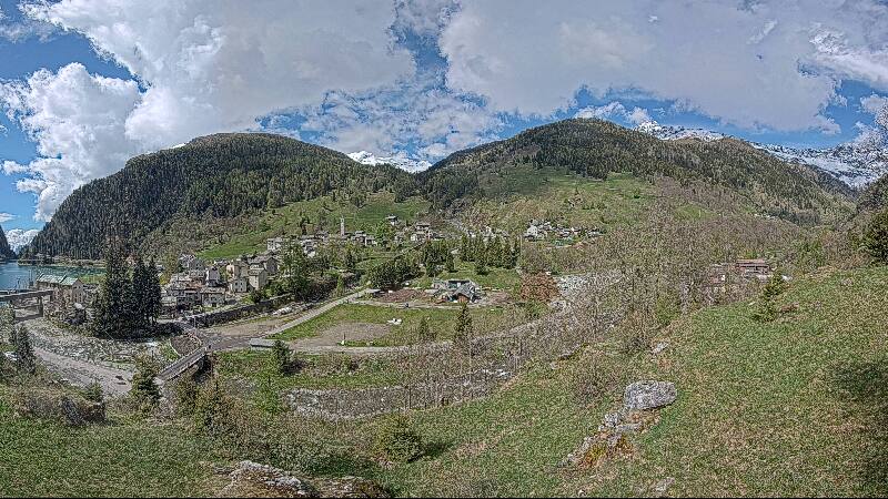
Webcams perto de Güferhorn



História ao redor de Güferhorn
Cidades perto de Güferhorn
- Bellinzonaa 36 km
- Locarnoa 43 km
- Coiraa 52 km
- Luganoa 56 km
- Schwyza 65 km
- Einsiedelna 73 km