 See it in 3D
Facts
- What it is
- Mountain
- Height above sea level
- 3,379 m (11,086 ft)
- Prominence
- 400 m (1,312 ft)
- Isolation
- 2.7 km to higher ground
- Range
- Adula Group
- Parent peak
- Rheinwaldhorn
- Country
- Switzerland
- Coordinates
- 46.513°N 9.063°E
- Source
- Wikidata, CC0
Peaks near Güferhorn
- Rheinwaldhorn3,402 m · 2.7 km awayOn the map
- Piz Medel3,210 m · 17 km awayOn the map
- Scopi3,190 m · 19 km awayOn the map
- Alperschällihorn3,036 m · 20 km awayOn the map
- Bruschghorn3,056 m · 23 km awayOn the map
- Pizzo di Claro2,727 m · 24 km awayOn the map
- Piz Beverin2,998 m · 27 km awayOn the map
- Pizzo Campo Tencia3,072 m · 27 km awayOn the map
- Bifertenstock3,421 m · 33 km awayOn the map
- Oberalpstock3,328 m · 34 km awayOn the map
Parent peak
The nearest higher peak its prominence is measured to.
- Rheinwaldhorn3,402 mOn the map
Highest in the Adula Group
- Rheinwaldhorn3,402 mOn the map
- Güferhorn3,379 mOn the map
- Vogelberg3,218 mOn the map
- Fanellhorn3,124 mOn the map
- Torent Alto2,952 mOn the map
- Pizzo del Ramulazz2,939 mOn the map
- Cima di Gana Bianca2,842 mOn the map
- Cima de Gagela2,805 mOn the map
Highest mountains in Switzerland
- Dufourspitze4,634 mOn the map
- Dom4,546 mOn the map
- Lyskamm4,532 mOn the map
- Weisshorn4,505 mOn the map
- Matterhorn4,478 mOn the map
- Dent Blanche4,357 mOn the map
- Grand Combin4,309 mOn the map
- Finsteraarhorn4,274 mOn the map
- Zinalrothorn4,221 mOn the map
- Alphubel4,206 mOn the map
Webcams near Güferhorn

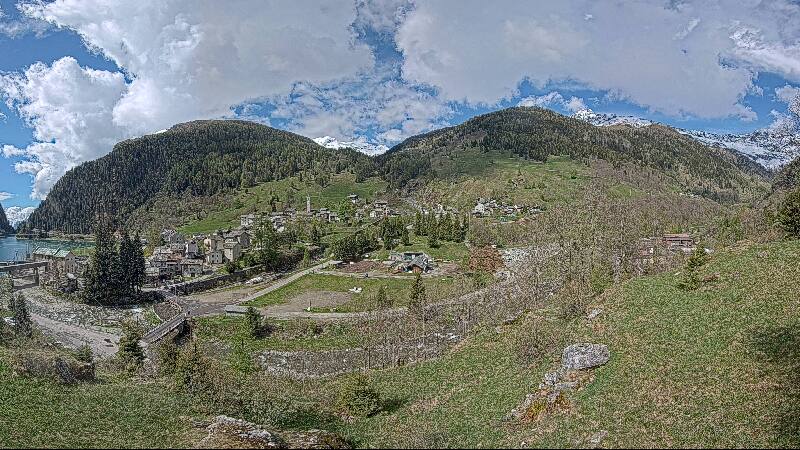



History around Güferhorn
Towns near Güferhorn
- Bellinzona36 km away
- Locarno43 km away
- Chur52 km away
- Lugano56 km away
- Schwyz65 km away
- Einsiedeln73 km away