Montanhas de Alemanha
Hahnenkamm
436 m1.429 pés
Montanha · Spessart · Alemanha
Hahnenkamm (Spessart) is a ridge of hills in the northwest of the Spessart range of Bavaria, Germany. It has an elevation of up to 435.5 m above NHN.
Da Wikipedia, CC BY-SA · Ler o artigo
No cume · previsão para 7:00
3 °CCéu limpo · vento de 11 km/h de NE
 Ver em 3D
Clima no cume de Hahnenkamm, 436 m
- 7:003 °CNE 11 km/h–
- 10:008 °CNE 10 km/h–
- 13:0011 °CL 13 km/h–
- 16:0010 °CL 9 km/h–
- 19:005 °CNE 12 km/h–
- 22:004 °CNE 12 km/h–
- 1:003 °CNE 10 km/h–
- 4:002 °CNE 9 km/h–
| Dia | Céu | Máx. / mín. | Chuva | Vento até |
|---|---|---|---|---|
| Hoje | Parcialmente nublado | 11 °C / 3 °C | – | 15 km/h |
| sáb., 31 de out. | Nublado | 8 °C / 2 °C | – | 11 km/h |
| dom., 1 de nov. | Nublado | 9 °C / 2 °C | – | 12 km/h |
| seg., 2 de nov. | Nublado | 7 °C / -1 °C | – | 8 km/h |
| ter., 3 de nov. | Parcialmente nublado | 7 °C / 3 °C | – | 16 km/h |
| qua., 4 de nov. | Poucas nuvens | 8 °C / 1 °C | – | 14 km/h |
| qui., 5 de nov. | Céu limpo | 8 °C / 1 °C | – | 11 km/h |
Previsão: MET Norway (CC BY 4.0), atualizada às 02:17 GMT+1. Horários locais.
Ficha técnica
- Tipo
- Montanha
- Altitude acima do nível do mar
- 436 m (1.429 pés)
- Isolamento
- a 10 km de um terreno mais alto
- Cordilheira
- Spessart
- País
- Alemanha
- Coordenadas
- 50.078°N 9.110°E
- Fonte
- Wikidata, CC0
Picos perto de Hahnenkamm
- Schanzenkopf343 m · a 1,5 kmNo mapa
- Horst540 m · a 23 kmNo mapa
- Wintersberg434 m · a 25 kmNo mapa
- Schwarzer Berg521 m · a 26 kmNo mapa
- Glauberg277 m · a 26 kmNo mapa
- Weickertshöhe546 m · a 28 kmNo mapa
- Markberg516 m · a 28 kmNo mapa
- Otzberg368 m · a 32 kmNo mapa
- Gickelsburg471 m · a 43 kmNo mapa
- Hünerberg375 m · a 44 kmNo mapa
Os mais altos de Spessart
- Querberg567 mNo mapa
- Hermannskoppe567 mNo mapa
- Klosterkuppel553 mNo mapa
- Weickertshöhe546 mNo mapa
- Steckenlaubshöhe542 mNo mapa
- Hoher Knuck539 mNo mapa
- Sohlhöhe531 mNo mapa
- Schindershöh522 mNo mapa
- Hahnenkamm436 mNo mapa
Montanhas mais altas de Alemanha
- Zugspitze2.962 mNo mapa
- Hochwanner2.744 mNo mapa
- Dreitorspitze2.682 mNo mapa
- Hochkalter2.607 mNo mapa
- Biberkopf2.599 mNo mapa
- Grosser Hundstod2.594 mNo mapa
- Hochvogel2.592 mNo mapa
- Östliche Karwendelspitze2.538 mNo mapa
- Hocheisspitze2.523 mNo mapa
- Hoher Göll2.522 mNo mapa
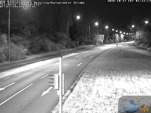
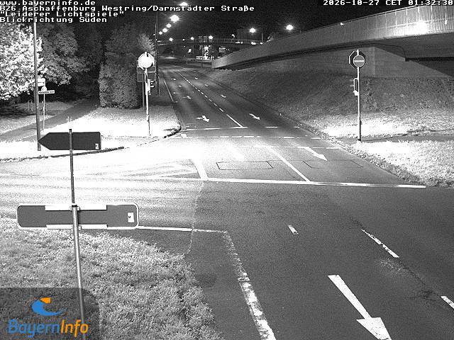
Webcams perto de Hahnenkamm


História ao redor de Hahnenkamm
- 2020 Hanau shootings2020
- Battle of Dettingen1743
- Robert Schuman presents his proposal for the creation of a pan-European organisation1950
- Standard & Poor's downgrades Greece's sovereign credit rating to junk 4 days after the activation of a €45-billion EU–IMF bailout2010
- 2025 Aschaffenburg stabbing attack: Two people, including a child, are killed in a knife attack in Aschaffenburg2025
- Stock markets rise significantly and bond prices fall around the world after investors are reassured by the European Union and International Monetary Fund’s…2010
- Battle of Aschaffenburg1866
- Battle of Laufach1866
Cidades perto de Hahnenkamm
- Alzenau in Unterfrankena 3,4 km
- Seligenstadta 10 km
- Aschaffenburga 12 km
- Gelnhausena 15 km
- Hanau am Maina 15 km
- Babenhausena 17 km