Montanhas de Alemanha
Ver em 3DKälberbuckel
1.054 m3.458 pés
Montanha · Bavarian Forest · Alemanha
Kälberbuckel is a mountain in Bavaria, Germany. It is located west of the village of Achslach in the Bavarian Forest. The mountain is almost entirely forested.
Da Wikipedia, CC BY-SA · Ler o artigo
No cume · previsão para 22:00
3 °CCéu limpo · vento de 10 km/h de SE
Clima no cume de Kälberbuckel, 1.054 m
- 22:003 °CSE 10 km/h–
- 1:003 °CSE 6 km/h–
- 4:002 °CSE 5 km/h–
- 7:001 °CSE 5 km/h–
- 10:006 °CSO 5 km/h1 mm
- 13:006 °CNO 4 km/h0,5 mm
- 16:005 °CNO 11 km/h–
- 19:006 °CN 13 km/h0,2 mm
| Dia | Céu | Máx. / mín. | Chuva | Vento até |
|---|---|---|---|---|
| qua., 28 de out. | Chuva | 6 °C / 1 °C | 1,9 mm | 13 km/h |
| qui., 29 de out. | Poucas nuvens | 8 °C / -1 °C | – | 11 km/h |
| sex., 30 de out. | Céu limpo | 8 °C / -3 °C | – | 14 km/h |
| sáb., 31 de out. | Parcialmente nublado | 8 °C / 1 °C | – | 7 km/h |
| dom., 1 de nov. | Nublado | 5 °C / -1 °C | – | 8 km/h |
| seg., 2 de nov. | Chuva | 3 °C / -3 °C | 1,5 mm | 10 km/h |
| ter., 3 de nov. | Chuva com neve | 2 °C / 1 °C | 3,1 mm | 14 km/h |
Previsão: MET Norway (CC BY 4.0), atualizada às 20:17 GMT+1. Horários locais.
Ficha técnica
- Tipo
- Montanha
- Altitude acima do nível do mar
- 1.054 m (3.458 pés)
- Cordilheira
- Bavarian Forest
- País
- Alemanha
- Coordenadas
- 48.975°N 12.887°E
- Fonte
- Wikidata, CC0
Picos perto de Kälberbuckel
- Hirschenstein1.092 m · a 1,4 kmNo mapa
- Klausenstein1.048 m · a 2,8 kmNo mapa
- Knogl1.056 m · a 3,1 kmNo mapa
- Rauher Kulm1.050 m · a 3,2 kmNo mapa
- Predigtstuhl1.024 m · a 4,1 kmNo mapa
- Vogelsang1.022 m · a 6,1 kmNo mapa
- Pröller1.048 m · a 7,1 kmNo mapa
- Käsplatte978 m · a 9,1 kmNo mapa
- Hadriwa (Bavarian Forest, Haibach)922 m · a 11 kmNo mapa
- Geißriegel1.043 m · a 12 kmNo mapa
Os mais altos de Bavarian Forest
- Großer Rachel1.453 mNo mapa
- Kleiner Arber1.384 mNo mapa
- Bayerischer Plöckenstein1.362 mNo mapa
- Großer Falkenstein1.315 mNo mapa
- Enzian1.285 mNo mapa
- Kiesruck1.265 mNo mapa
- Hahnenbogen1.257 mNo mapa
- Waldhäuserriegel1.151 mNo mapa
- Kälberbuckel1.054 mNo mapa
Montanhas mais altas de Alemanha
- Zugspitze2.962 mNo mapa
- Hochwanner2.744 mNo mapa
- Dreitorspitze2.682 mNo mapa
- Hochkalter2.607 mNo mapa
- Biberkopf2.599 mNo mapa
- Grosser Hundstod2.594 mNo mapa
- Hochvogel2.592 mNo mapa
- Östliche Karwendelspitze2.538 mNo mapa
- Hocheisspitze2.523 mNo mapa
- Hoher Göll2.522 mNo mapa
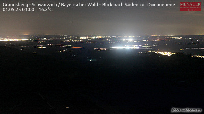
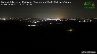
Webcams perto de Kälberbuckel
Cidades perto de Kälberbuckel
- Deggendorfa 16 km
- Straubinga 25 km
- Chama 33 km
- Vilshofena 45 km
- Dingolfinga 47 km
- Klatovya 55 km