Mainzer Berg
227 m745 pés
Montanha · Floresta de Oden · Alemanha
The Mainzer Berg is a forested hill between the cities of Darmstadt and Dieburg in the southern part of Hesse, Germany. It is part of the northernmost ridge of the Odenwald range and there is a telecommunication tower of 96 meter height on its top.
Da Wikipedia, CC BY-SA · Ler o artigo
No cume · previsão para 4:00
11 °CNublado · vento de 13 km/h de SO
 Ver em 3D
Clima no cume de Mainzer Berg, 227 m
- 4:0011 °CSO 13 km/h–
- 7:0011 °CS 11 km/h–
- 10:0014 °CS 12 km/h–
- 13:0017 °CS 9 km/h–
- 16:0016 °CSO 5 km/h–
- 19:0012 °CS 9 km/h–
- 22:0012 °CSO 12 km/h–
- 1:0012 °CSO 11 km/h3,7 mm
| Dia | Céu | Máx. / mín. | Chuva | Vento até |
|---|---|---|---|---|
| Hoje | Céu limpo | 17 °C / 10 °C | – | 14 km/h |
| qua., 28 de out. | Parcialmente nublado | 13 °C / 7 °C | 4 mm | 14 km/h |
| qui., 29 de out. | Poucas nuvens | 13 °C / 3 °C | – | 9 km/h |
| sex., 30 de out. | Céu limpo | 12 °C / 3 °C | – | 9 km/h |
| sáb., 31 de out. | Céu limpo | 11 °C / 3 °C | – | 9 km/h |
| dom., 1 de nov. | Poucas nuvens | 11 °C / 2 °C | – | 9 km/h |
| seg., 2 de nov. | Parcialmente nublado | 10 °C / 6 °C | – | 9 km/h |
Previsão: MET Norway (CC BY 4.0), atualizada às 02:17 GMT+1. Horários locais.
Ficha técnica
- Tipo
- Montanha
- Altitude acima do nível do mar
- 227 m (745 pés)
- Cordilheira
- Floresta de Oden
- País
- Alemanha
- Coordenadas
- 49.904°N 8.772°E
- Fonte
- Wikidata, CC0
Mainzer Berg (Dieburg)
Hill in Hesse, Germany
The Mainzer Berg is a forested hill between the cities of Darmstadt and Dieburg in the southern part of Hesse, Germany. It is part of the northernmost ridge of the Odenwald range and there is a telecommunication tower of 96 meter height on its top. Just two kilometres northwest of the hill is the UNESCO World Heritage Site Messel pit.
Da Wikipedia, CC BY-SA · Ler o artigo
Picos perto de Mainzer Berg
- Otzberg368 m · a 14 kmNo mapa
- Neunkircher Höhe605 m · a 21 kmNo mapa
- Melibokus517 m · a 22 kmNo mapa
- Morsberg517 m · a 24 kmNo mapa
- Krehberg576 m · a 25 kmNo mapa
- Schanzenkopf343 m · a 29 kmNo mapa
- Tromm577 m · a 33 kmNo mapa
- Hünerberg375 m · a 38 kmNo mapa
- Rossert516 m · a 39 kmNo mapa
- Altkönig798 m · a 40 kmNo mapa
Os mais altos de Floresta de Oden
- Neunkircher Höhe605 mNo mapa
- Markgrafenwald585 mNo mapa
- Königstuhl570 mNo mapa
- Krähberg555 mNo mapa
- Gickelsberg554 mNo mapa
- Mainzer Berg227 mNo mapa
Montanhas mais altas de Alemanha
- Zugspitze2.962 mNo mapa
- Hochwanner2.744 mNo mapa
- Dreitorspitze2.682 mNo mapa
- Hochkalter2.607 mNo mapa
- Biberkopf2.599 mNo mapa
- Grosser Hundstod2.594 mNo mapa
- Hochvogel2.592 mNo mapa
- Östliche Karwendelspitze2.538 mNo mapa
- Hocheisspitze2.523 mNo mapa
- Hoher Göll2.522 mNo mapa
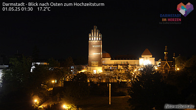
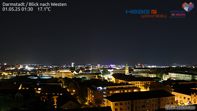
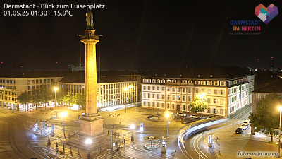
Webcams perto de Mainzer Berg

História ao redor de Mainzer Berg
Cidades perto de Mainzer Berg
- Dieburga 5,3 km
- Ober-Ramstadta 8,3 km
- Darmstadta 9,5 km
- Reinheima 9,5 km
- Dietzenbacha 12 km
- Langena 12 km