Montanhas de Alemanha
Schlossberg von Tettelham
600 m1.969 pés
Montanha · Alemanha
Schlossberg von Tettelham is a 597 m tall mountain above the village of Tettleham in Bavaria, Germany. On it there is a site known as a Burgstall with remains of Obertettelham Castle and remains of masonry and a chapel built in 1947.
Da Wikipedia, CC BY-SA · Ler o artigo
No cume · previsão para 13:00
11 °CChuva · vento de 15 km/h de O
 Ver em 3D
Clima no cume de Schlossberg von Tettelham, 600 m
- 13:0011 °CO 15 km/h1,2 mm
- 16:009 °CO 18 km/h0,2 mm
- 19:009 °CO 13 km/h–
- 22:006 °CO 13 km/h0,2 mm
- 1:006 °CO 11 km/h0,6 mm
- 4:006 °CO 8 km/h–
- 7:006 °CO 5 km/h–
- 10:008 °CO 4 km/h–
| Dia | Céu | Máx. / mín. | Chuva | Vento até |
|---|---|---|---|---|
| qui., 29 de out. | Parcialmente nublado | 10 °C / 4 °C | 0,8 mm | 12 km/h |
| sex., 30 de out. | Céu limpo | 10 °C / 1 °C | – | 14 km/h |
| sáb., 31 de out. | Nublado | 7 °C / 0 °C | – | 8 km/h |
| dom., 1 de nov. | Chuva | 5 °C / 2 °C | 6 mm | 8 km/h |
| seg., 2 de nov. | Nublado | 5 °C / 1 °C | 0,3 mm | 14 km/h |
| ter., 3 de nov. | Nublado | 5 °C / 3 °C | 1,3 mm | 14 km/h |
| qua., 4 de nov. | Poucas nuvens | 6 °C / 2 °C | 0,1 mm | 18 km/h |
Previsão: MET Norway (CC BY 4.0), atualizada às 12:19 GMT+1. Horários locais.
Ficha técnica
- Tipo
- Montanha
- Altitude acima do nível do mar
- 600 m (1.969 pés)
- País
- Alemanha
- Coordenadas
- 47.948°N 12.679°E
- Fonte
- Wikidata, CC0
Picos perto de Schlossberg von Tettelham
- Zwiesel1.782 m · a 24 kmNo mapa
- Hochstaufen1.771 m · a 25 kmNo mapa
- Sonntagshorn1.961 m · a 30 kmNo mapa
- Kampenwand1.669 m · a 32 kmNo mapa
- Festungsberg542 m · a 32 kmNo mapa
- Kapuzinerberg636 m · a 32 kmNo mapa
- Karkopf1.738 m · a 33 kmNo mapa
- Gaisberg1.287 m · a 36 kmNo mapa
- Berchtesgadener Hochthron1.972 m · a 36 kmNo mapa
- Breitenstein1.661 m · a 38 kmNo mapa
Montanhas mais altas de Alemanha
- Zugspitze2.962 mNo mapa
- Hochwanner2.744 mNo mapa
- Dreitorspitze2.682 mNo mapa
- Hochkalter2.607 mNo mapa
- Biberkopf2.599 mNo mapa
- Grosser Hundstod2.594 mNo mapa
- Hochvogel2.592 mNo mapa
- Östliche Karwendelspitze2.538 mNo mapa
- Hocheisspitze2.523 mNo mapa
- Hoher Göll2.522 mNo mapa
Webcams perto de Schlossberg von Tettelham

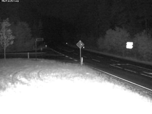
Cidades perto de Schlossberg von Tettelham
- Traunreuta 6,7 km
- Traunsteina 9,3 km
- Freilassinga 25 km
- Burghausena 27 km
- Bad Reichenhalla 28 km
- Salzburga 32 km