Montanhas de Alemanha
Ver em 3DSteinknückl
413 m1.355 pés
Montanha · Spessart · Alemanha
Steinknückl is a low mountain in the Aschaffenburg district of Bavaria, Germany, on the western edge of the Spessart range of wooded low mountains. It is flanked by the communities of Laufach to the north and Waldaschaff to the south.
Da Wikipedia, CC BY-SA · Ler o artigo
No cume · previsão para 5:00
10 °CNublado · vento de 12 km/h de NO
Clima no cume de Steinknückl, 413 m
- 5:0010 °CNO 12 km/h–
- 8:009 °CNO 12 km/h–
- 11:0011 °CNO 13 km/h–
- 14:0012 °CNO 13 km/h–
- 17:009 °CNO 7 km/h–
- 20:007 °CN 6 km/h–
- 23:006 °CN 4 km/h–
- 2:005 °CN 4 km/h–
| Dia | Céu | Máx. / mín. | Chuva | Vento até |
|---|---|---|---|---|
| Hoje | Poucas nuvens | 12 °C / 6 °C | – | 13 km/h |
| qui., 29 de out. | Parcialmente nublado | 13 °C / 4 °C | – | 10 km/h |
| sex., 30 de out. | Céu limpo | 12 °C / 5 °C | – | 17 km/h |
| sáb., 31 de out. | Nublado | 9 °C / 5 °C | – | 14 km/h |
| dom., 1 de nov. | Parcialmente nublado | 10 °C / 4 °C | – | 10 km/h |
| seg., 2 de nov. | Nublado | 8 °C / 4 °C | 0,6 mm | 10 km/h |
| ter., 3 de nov. | Chuva fraca | 7 °C / 3 °C | 1 mm | 10 km/h |
Previsão: MET Norway (CC BY 4.0), atualizada às 20:17 GMT+1. Horários locais.
Ficha técnica
- Tipo
- Montanha
- Altitude acima do nível do mar
- 413 m (1.355 pés)
- Cordilheira
- Spessart
- País
- Alemanha
- Coordenadas
- 49.992°N 9.283°E
- Fonte
- Wikidata, CC0
Picos perto de Steinknückl
- Weickertshöhe546 m · a 14 kmNo mapa
- Schanzenkopf343 m · a 16 kmNo mapa
- Horst540 m · a 23 kmNo mapa
- Schwarzer Berg521 m · a 25 kmNo mapa
- Wintersberg434 m · a 26 kmNo mapa
- Markberg516 m · a 28 kmNo mapa
- Otzberg368 m · a 33 kmNo mapa
- Sodenberg481 m · a 39 kmNo mapa
- Glauberg277 m · a 40 kmNo mapa
- Stoppelsberg571 m · a 47 kmNo mapa
Os mais altos de Spessart
- Querberg567 mNo mapa
- Hermannskoppe567 mNo mapa
- Klosterkuppel553 mNo mapa
- Weickertshöhe546 mNo mapa
- Steckenlaubshöhe542 mNo mapa
- Hoher Knuck539 mNo mapa
- Sohlhöhe531 mNo mapa
- Schindershöh522 mNo mapa
- Steinknückl413 mNo mapa
Montanhas mais altas de Alemanha
- Zugspitze2.962 mNo mapa
- Hochwanner2.744 mNo mapa
- Dreitorspitze2.682 mNo mapa
- Hochkalter2.607 mNo mapa
- Biberkopf2.599 mNo mapa
- Grosser Hundstod2.594 mNo mapa
- Hochvogel2.592 mNo mapa
- Östliche Karwendelspitze2.538 mNo mapa
- Hocheisspitze2.523 mNo mapa
- Hoher Göll2.522 mNo mapa
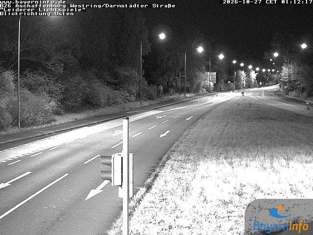
Webcams perto de Steinknückl


História ao redor de Steinknückl
- Battle of Dettingen1743
- Robert Schuman presents his proposal for the creation of a pan-European organisation1950
- Standard & Poor's downgrades Greece's sovereign credit rating to junk 4 days after the activation of a €45-billion EU–IMF bailout2010
- 2025 Aschaffenburg stabbing attack: Two people, including a child, are killed in a knife attack in Aschaffenburg2025
- Stock markets rise significantly and bond prices fall around the world after investors are reassured by the European Union and International Monetary Fund’s…2010
- Battle of Aschaffenburg1866
- Battle of Laufach1866
- 2024 European farmers' protests2024
Cidades perto de Steinknückl
- Aschaffenburga 9,5 km
- Großostheima 17 km
- Alzenau in Unterfrankena 19 km
- Lohr am Maina 21 km
- Seligenstadta 23 km
- Babenhausena 24 km