Montanhas de Alemanha
Stiefenberg
396 m1.299 pés
Montanha · Haßberge Hills · Alemanha
Der Stiefenberg ist neben dem Kraiberg der zweite große Hausberg der Stadt Baunach. Die beiden Berge werden durch das Tal des Flusses Baunach voneinander getrennt. Er gehört zu den Hassbergen und somit zum Fränkischen Keuper-Lias-Land. Auf ihm befindet sich auch die Ruine der einstigen Stufenburg.
Da Wikipédia em alemão, CC BY-SA · Ler o artigo
No cume · previsão para 5:00
6 °CNublado · vento de 5 km/h de SE
 Ver em 3D
Clima no cume de Stiefenberg, 396 m
- 5:006 °CSE 5 km/h1,9 mm
- 8:007 °CNO 13 km/h0,3 mm
- 11:0011 °CNO 14 km/h–
- 14:0012 °CNO 12 km/h0,1 mm
- 17:009 °CNO 8 km/h–
- 20:005 °CNO 5 km/h–
- 23:003 °CNO 4 km/h–
- 2:002 °CNO 2 km/h–
| Dia | Céu | Máx. / mín. | Chuva | Vento até |
|---|---|---|---|---|
| Hoje | Poucas nuvens | 12 °C / 3 °C | 2,3 mm | 14 km/h |
| qui., 29 de out. | Poucas nuvens | 10 °C / 1 °C | – | 8 km/h |
| sex., 30 de out. | Nublado | 11 °C / 1 °C | – | 12 km/h |
| sáb., 31 de out. | Nublado | 10 °C / 3 °C | – | 8 km/h |
| dom., 1 de nov. | Nublado | 9 °C / 3 °C | 0,2 mm | 8 km/h |
| seg., 2 de nov. | Poucas nuvens | 9 °C / 5 °C | 0,2 mm | 15 km/h |
| ter., 3 de nov. | Poucas nuvens | 8 °C / 2 °C | – | 14 km/h |
Previsão: MET Norway (CC BY 4.0), atualizada às 02:17 GMT+1. Horários locais.
Ficha técnica
- Tipo
- Montanha
- Altitude acima do nível do mar
- 396 m (1.299 pés)
- Cordilheira
- Haßberge Hills
- País
- Alemanha
- Coordenadas
- 49.989°N 10.813°E
- Fonte
- Wikidata, CC0
Picos perto de Stiefenberg
- Reisberg554 m · a 18 kmNo mapa
- Staffelberg539 m · a 19 kmNo mapa
- Geisberg585 m · a 21 kmNo mapa
- Friesener Warte562 m · a 23 kmNo mapa
- Zeilberg463 m · a 25 kmNo mapa
- Zabelstein489 m · a 26 kmNo mapa
- Kordigast538 m · a 30 kmNo mapa
- Lange Meile517 m · a 31 kmNo mapa
- Nassacher Höhe512 m · a 32 kmNo mapa
- Kalkberg (Weismain)454 m · a 32 kmNo mapa
Os mais altos de Haßberge Hills
- Nassacher Höhe512 mNo mapa
- Stiefenberg396 mNo mapa
- Kraiberg365 mNo mapa
Montanhas mais altas de Alemanha
- Zugspitze2.962 mNo mapa
- Hochwanner2.744 mNo mapa
- Dreitorspitze2.682 mNo mapa
- Hochkalter2.607 mNo mapa
- Biberkopf2.599 mNo mapa
- Grosser Hundstod2.594 mNo mapa
- Hochvogel2.592 mNo mapa
- Östliche Karwendelspitze2.538 mNo mapa
- Hocheisspitze2.523 mNo mapa
- Hoher Göll2.522 mNo mapa
Webcams perto de Stiefenberg
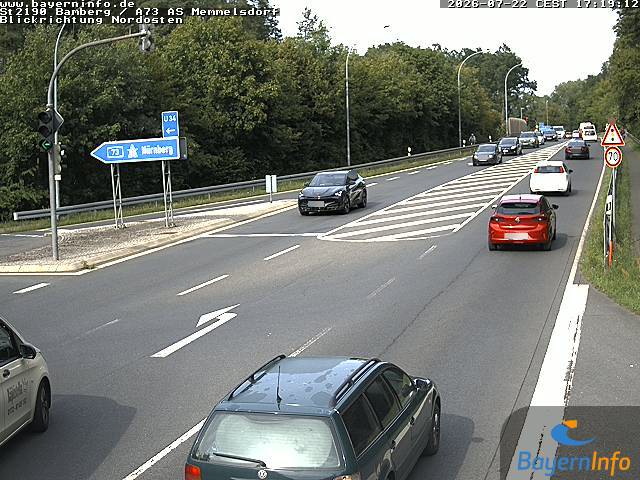
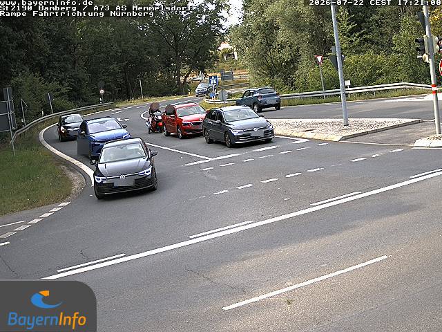
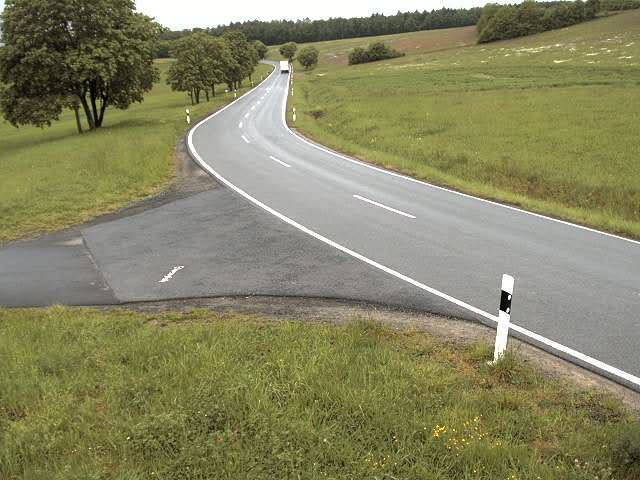
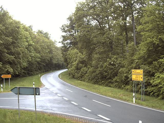
História ao redor de Stiefenberg
- Thirty Years' War: Battle of Bamberg – Johann Tserclaes, Count of Tilly, commander of the Catholic League, defeats the Swedish army under Gustav Horn1632
- The Nazi Party holds the Bamberg Conference in an attempt to strengthen Adolf Hitler's control over the party1926
- Battle of Bamberg1796
- Second Margrave War1552
Cidades perto de Stiefenberg
- Bamberga 12 km
- Lichtenfelsa 25 km
- Coburga 32 km
- Forchheima 35 km
- Schweinfurta 43 km
- Kronacha 46 km