Chancellor Peak
3,266 米10,715 英尺
山 · Ottertail Range · 加拿大
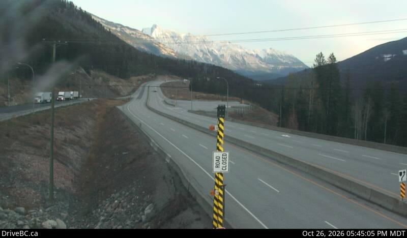
Chancellor Peak is a 3,266-metre (10,715-foot) mountain summit located in Yoho National Park, in the Canadian Rockies of British Columbia, Canada. Its nearest higher peak is Mount Vaux, 4.0 km (2.5 mi) to the north-northwest. Both are part of the Ottertail Range.
来自Wikipedia,CC BY-SA · 阅读文章
山顶 · 3:00 的预报
-11 °C阴 · 东风 2 km/h
 3D 查看
Chancellor Peak山顶天气,3,266 米
- 3:00-11 °C东 2 km/h0.5 mm
- 6:00-11 °C东南 3 km/h3 mm
- 9:00-11 °C东南 4 km/h2.8 mm
- 12:00-10 °C东南 6 km/h2 mm
- 15:00-10 °C东南 5 km/h1.9 mm
- 18:00-11 °C东 4 km/h1.4 mm
- 21:00-13 °C东 4 km/h0.2 mm
- 0:00-14 °C东 4 km/h0.4 mm
| 日期 | 天气 | 最高 / 最低 | 雨 | 最大风速 |
|---|---|---|---|---|
| 今天 | 中雪 | -10 °C / -13 °C | 11.8 mm | 6 km/h |
| 10月29日周四 | 多云 | -11 °C / -19 °C | 0.6 mm | 5 km/h |
| 10月30日周五 | 多云 | -9 °C / -22 °C | – | 7 km/h |
| 10月31日周六 | 少云 | -10 °C / -16 °C | – | 3 km/h |
| 11月1日周日 | 晴 | -10 °C / -16 °C | – | 2 km/h |
| 11月2日周一 | 多云 | -9 °C / -17 °C | – | 4 km/h |
| 11月3日周二 | 阴 | -7 °C / -14 °C | – | 6 km/h |
预报来自 MET Norway(CC BY 4.0),更新于 GMT-6 02:19。时间均为当地时间。
基本信息
Chancellor Peak
Mountain summit in British Columbia, Canada
Chancellor Peak is a 3,266-metre (10,715-foot) mountain summit located in Yoho National Park, in the Canadian Rockies of British Columbia, Canada. Its nearest higher peak is Mount Vaux, 4.0 km (2.5 mi) to the north-northwest. Both are part of the Ottertail Range. Chancellor Peak is a landmark in the Kicking Horse River valley and can be seen from the Trans-Canada Highway midway between Golden and Field.
来自Wikipedia,CC BY-SA · 阅读文章
Chancellor Peak附近的山峰
- Mount Vaux3,310 米 · 4.1 公里外地图上
- Mount Goodsir3,567 米 · 7.6 公里外地图上
- Mount King2,868 米 · 15 公里外地图上
- Odaray Mountain3,137 米 · 17 公里外地图上
- Mount Schaffer2,691 米 · 18 公里外地图上
- Mount Biddle3,320 米 · 18 公里外地图上
- Mount Hungabee3,492 米 · 20 公里外地图上
- Neptuak Mountain3,241 米 · 20 公里外地图上
- 史蒂芬山3,199 米 · 20 公里外地图上
- Ringrose Peak3,292 米 · 20 公里外地图上
Ottertail Range最高峰
- Mount Goodsir3,567 米地图上
- Mount Vaux3,310 米地图上
- Chancellor Peak3,266 米地图上
- 赫德山3,000 米地图上