Chancellor Peak
3,266 m10,715 ft
Mountain · Ottertail Range · Canada
Chancellor Peak is a 3,266-metre (10,715-foot) mountain summit located in Yoho National Park, in the Canadian Rockies of British Columbia, Canada. Its nearest higher peak is Mount Vaux, 4.0 km (2.5 mi) to the north-northwest. Both are part of the Ottertail Range.
From Wikipedia, CC BY-SA · Read the article
At the summit · forecast for 10:00 PM
-11 °CFog · wind 1 km/h from the E
 See it in 3D
Weather at the summit of Chancellor Peak, 3,266 m
- 10:00 PM-11 °CE 1 km/h–
- 1:00 AM-12 °CE 2 km/h–
- 4:00 AM-11 °CSE 1 km/h0.3 mm
- 7:00 AM-11 °CE 2 km/h3.2 mm
- 10:00 AM-11 °CS 3 km/h4.4 mm
- 1:00 PM-10 °CS 6 km/h2 mm
- 4:00 PM-10 °CSE 4 km/h1.4 mm
- 7:00 PM-12 °CE 4 km/h0.3 mm
| Day | Sky | High / low | Rain | Wind up to |
|---|---|---|---|---|
| Wed, Oct 28 | Snow | -10 °C / -14 °C | 11.7 mm | 6 km/h |
| Thu, Oct 29 | Partly cloudy | -11 °C / -20 °C | 0.4 mm | 5 km/h |
| Fri, Oct 30 | Partly cloudy | -12 °C / -23 °C | 0.1 mm | 7 km/h |
| Sat, Oct 31 | Mostly clear | -11 °C / -18 °C | – | 4 km/h |
| Sun, Nov 1 | Clear | -10 °C / -18 °C | – | 3 km/h |
| Mon, Nov 2 | Clear | -10 °C / -18 °C | – | 4 km/h |
| Tue, Nov 3 | Partly cloudy | -7 °C / -14 °C | – | 2 km/h |
Forecast by MET Norway (CC BY 4.0), updated 01:17 PM MDT. Times are local.
Facts
- What it is
- Mountain
- Height above sea level
- 3,266 m (10,715 ft)
- Prominence
- 726 m (2,382 ft)
- Range
- Ottertail Range
- Country
- Canada
- First ascent
- July 30, 1901
- Coordinates
- 51.224°N 116.510°W
- Source
- Wikidata, CC0
Chancellor Peak
Mountain summit in British Columbia, Canada
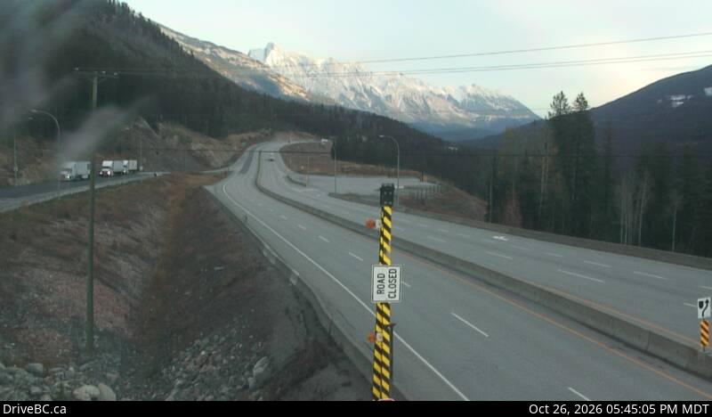
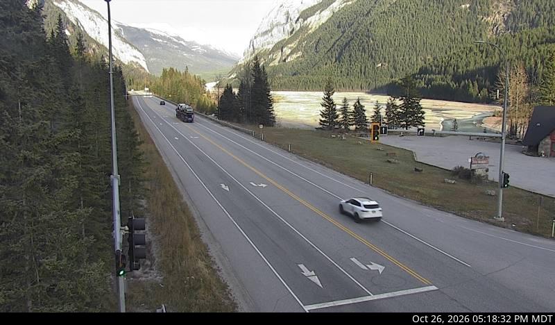
Chancellor Peak is a 3,266-metre (10,715-foot) mountain summit located in Yoho National Park, in the Canadian Rockies of British Columbia, Canada. Its nearest higher peak is Mount Vaux, 4.0 km (2.5 mi) to the north-northwest. Both are part of the Ottertail Range. Chancellor Peak is a landmark in the Kicking Horse River valley and can be seen from the Trans-Canada Highway midway between Golden and Field.
From Wikipedia, CC BY-SA · Read the article
Peaks near Chancellor Peak
- Mount Vaux3,310 m · 4.1 km awayOn the map
- Mount Goodsir3,567 m · 7.6 km awayOn the map
- Mount King2,868 m · 15 km awayOn the map
- Odaray Mountain3,137 m · 17 km awayOn the map
- Mount Schaffer2,691 m · 18 km awayOn the map
- Mount Biddle3,320 m · 18 km awayOn the map
- Mount Hungabee3,492 m · 20 km awayOn the map
- Neptuak Mountain3,241 m · 20 km awayOn the map
- Mount Stephen3,199 m · 20 km awayOn the map
- Ringrose Peak3,292 m · 20 km awayOn the map
Highest in the Ottertail Range
- Mount Goodsir3,567 mOn the map
- Mount Vaux3,310 mOn the map
- Chancellor Peak3,266 mOn the map
- Mount Hurd3,000 mOn the map
Highest mountains in Canada
- Mount Logan5,959 mOn the map
- Mount Saint Elias18,009 ftOn the map
- Mount Lucania5,240 mOn the map
- King Peak5,173 mOn the map
- Mount Steele5,073 mOn the map
- Mount Wood4,850 mOn the map
- Mount Vancouver15,787 ftOn the map
- Mount Slaggard4,742 mOn the map
- Mount Macaulay4,700 mOn the map
- Mount Fairweather15,325 ftOn the map