Cushetunk Mountain
834 英尺254 米
山 · 美国
Cushetunk Mountain is a ring shaped mountain in the U.S. state of New Jersey, located in Readington and Clinton Township in Hunterdon County. The Lenape Native Americans called the mountain "Cushetunk" meaning "place of hogs" after the wild hogs found there.
来自Wikipedia,CC BY-SA · 阅读文章
山顶 · 23:00 的预报
54 °F晴 · 西北风 7 英里/小时
 3D 查看
Cushetunk Mountain山顶天气,834 英尺
- 23:0054 °F西北 7 英里/小时–
- 2:0053 °F北 9 英里/小时–
- 5:0049 °F北 7 英里/小时–
- 8:0047 °F东北 6 英里/小时–
- 11:0054 °F东北 8 英里/小时–
- 14:0058 °F北 4 英里/小时–
- 17:0058 °F东南 3 英里/小时–
- 20:0049 °F东 4 英里/小时–
| 日期 | 天气 | 最高 / 最低 | 雨 | 最大风速 |
|---|---|---|---|---|
| 10月27日周二 | 晴 | 59 °F / 46 °F | – | 9 英里/小时 |
| 10月28日周三 | 多云 | 60 °F / 40 °F | – | 6 英里/小时 |
| 10月29日周四 | 多云 | 66 °F / 44 °F | – | 10 英里/小时 |
| 10月30日周五 | 少云 | 71 °F / 50 °F | – | 9 英里/小时 |
| 10月31日周六 | 少云 | 62 °F / 44 °F | – | 8 英里/小时 |
| 11月1日周日 | 阴 | 65 °F / 46 °F | – | 8 英里/小时 |
| 11月2日周一 | 阴 | 58 °F / 56 °F | 0.25 英寸 | 6 英里/小时 |
预报来自 MET Norway(CC BY 4.0),更新于 GMT-4 19:19。时间均为当地时间。
基本信息
Cushetunk Mountain
Mountain in New Jersey, US
Cushetunk Mountain is a ring shaped mountain in the U.S. state of New Jersey, located in Readington and Clinton Township in Hunterdon County. The Lenape Native Americans called the mountain "Cushetunk" meaning "place of hogs" after the wild hogs found there. In the 1960s, the valley at the heart of the mountain was dammed and filled with water to create Round Valley Reservoir.
来自Wikipedia,CC BY-SA · 阅读文章
Cushetunk Mountain附近的山峰
- Sourland Mountain568 英尺 · 16 公里外地图上
- Pohatcong Mountain866 英尺 · 22 公里外地图上
- Baldpate Mountain1,165 英尺 · 25 公里外地图上
- County House Mountain1,142 英尺 · 26 公里外地图上
- Oxford Mountain955 英尺 · 26 公里外地图上
- Scotts Mountain1,086 英尺 · 27 公里外地图上
- Mount No More1,150 英尺 · 28 公里外地图上
- Mount Mohepinoke1,115 英尺 · 30 公里外地图上
- High Rock Mountain889 英尺 · 30 公里外地图上
- Jenny Jump Mountain1,129 英尺 · 30 公里外地图上
美国最高的山
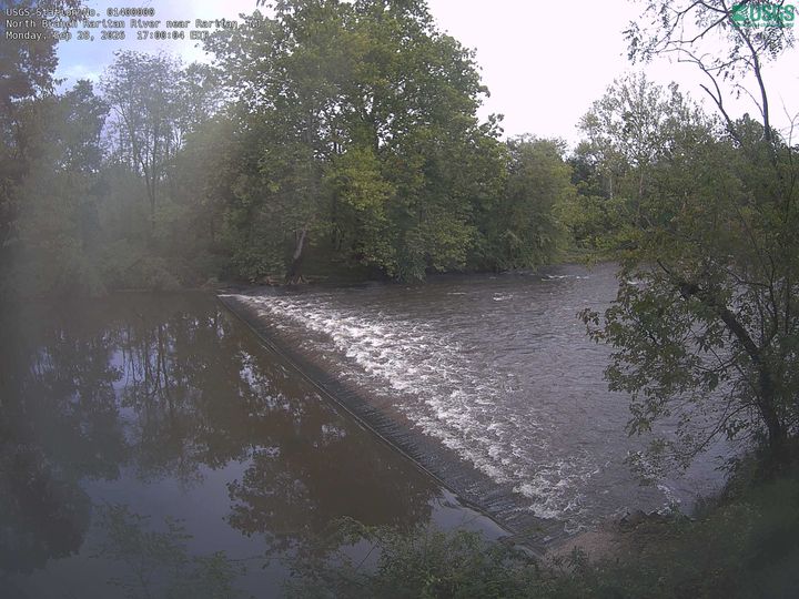
Cushetunk Mountain附近的网络摄像头


Cushetunk Mountain周边的历史
Cushetunk Mountain附近的城镇
- Flemington10 公里外
- 布里奇沃特15 公里外
- Raritan15 公里外
- Hillsborough16 公里外
- Peapack and Gladstone19 公里外
- Far Hills20 公里外