Cushetunk Mountain
834 ft254 m
Mountain · United States
Cushetunk Mountain is a ring shaped mountain in the U.S. state of New Jersey, located in Readington and Clinton Township in Hunterdon County. The Lenape Native Americans called the mountain "Cushetunk" meaning "place of hogs" after the wild hogs found there.
From Wikipedia, CC BY-SA · Read the article
At the summit · forecast for 8:00 PM
56 °FClear · wind 7 mph from the W
 See it in 3D
Weather at the summit of Cushetunk Mountain, 834 ft
- 8:00 PM56 °FW 7 mph–
- 11:00 PM54 °FNW 7 mph–
- 2:00 AM53 °FN 9 mph–
- 5:00 AM49 °FN 7 mph–
- 8:00 AM47 °FNE 6 mph–
- 11:00 AM54 °FNE 8 mph–
- 2:00 PM58 °FN 4 mph–
- 5:00 PM58 °FSE 3 mph–
| Day | Sky | High / low | Rain | Wind up to |
|---|---|---|---|---|
| Tue, Oct 27 | Clear | 59 °F / 46 °F | – | 9 mph |
| Wed, Oct 28 | Partly cloudy | 60 °F / 40 °F | – | 6 mph |
| Thu, Oct 29 | Partly cloudy | 66 °F / 44 °F | – | 10 mph |
| Fri, Oct 30 | Mostly clear | 71 °F / 50 °F | – | 9 mph |
| Sat, Oct 31 | Mostly clear | 62 °F / 44 °F | – | 8 mph |
| Sun, Nov 1 | Cloudy | 65 °F / 46 °F | – | 8 mph |
| Mon, Nov 2 | Cloudy | 58 °F / 56 °F | 0.25 in | 6 mph |
Forecast by MET Norway (CC BY 4.0), updated 07:19 PM EDT. Times are local.
Facts
- What it is
- Mountain
- Height above sea level
- 834 ft (254 m)
- Country
- United States
- Coordinates
- 40.599°N 74.825°W
- Source
- Wikidata, CC0
Cushetunk Mountain
Mountain in New Jersey, US
Cushetunk Mountain is a ring shaped mountain in the U.S. state of New Jersey, located in Readington and Clinton Township in Hunterdon County. The Lenape Native Americans called the mountain "Cushetunk" meaning "place of hogs" after the wild hogs found there. In the 1960s, the valley at the heart of the mountain was dammed and filled with water to create Round Valley Reservoir.
From Wikipedia, CC BY-SA · Read the article
Peaks near Cushetunk Mountain
- Sourland Mountain568 ft · 16 km awayOn the map
- Pohatcong Mountain866 ft · 22 km awayOn the map
- Baldpate Mountain1,165 ft · 25 km awayOn the map
- County House Mountain1,142 ft · 26 km awayOn the map
- Oxford Mountain955 ft · 26 km awayOn the map
- Scotts Mountain1,086 ft · 27 km awayOn the map
- Mount No More1,150 ft · 28 km awayOn the map
- Mount Mohepinoke1,115 ft · 30 km awayOn the map
- High Rock Mountain889 ft · 30 km awayOn the map
- Jenny Jump Mountain1,129 ft · 30 km awayOn the map
Highest mountains in United States
- Denali20,308 ftOn the map
- Mount Saint Elias18,009 ftOn the map
- Mount Foraker17,402 ftOn the map
- Mount Bona16,535 ftOn the map
- Mount Blackburn16,390 ftOn the map
- Mount Sanford16,237 ftOn the map
- Mount Vancouver15,787 ftOn the map
- Mount Churchill15,636 ftOn the map
- Mount Fairweather15,325 ftOn the map
- Mount Hubbard14,951 ftOn the map
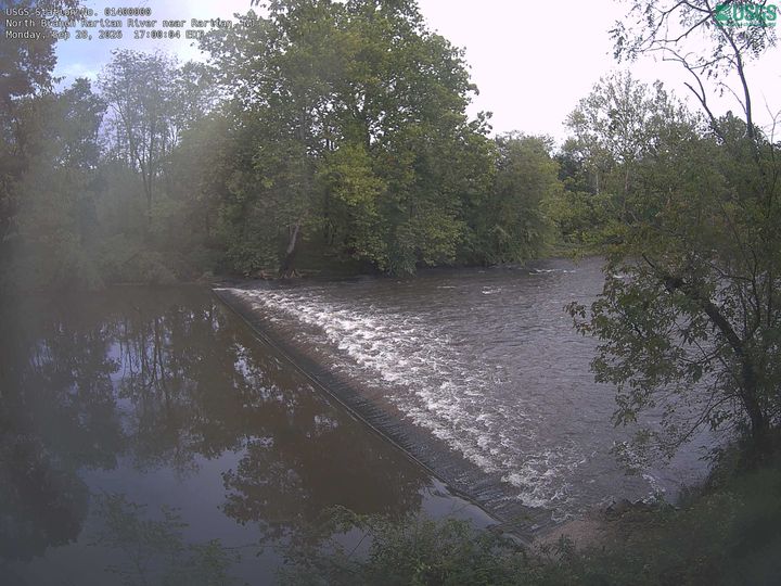
Webcams near Cushetunk Mountain
History around Cushetunk Mountain
Towns near Cushetunk Mountain
- Flemington10 km away
- Bridgewater15 km away
- Raritan15 km away
- Hillsborough16 km away
- Peapack and Gladstone19 km away
- Far Hills20 km away