Mountains in United States
See it in 3DPohatcong Mountain
866 ft264 m
Mountain · Appalachian Mountains · United States
Pohatcong Mountain is a ridge, approximately 6 mi (10 km) long, in the Appalachian Mountains of northwestern New Jersey in the United States. It extends from west Phillipsburg northeast approximately to Allamuchy Township, New Jersey.
From Wikipedia, CC BY-SA · Read the article
At the summit · forecast for 10:00 PM
54 °FClear · wind 8 mph from the NW
Weather at the summit of Pohatcong Mountain, 866 ft
- 10:00 PM54 °FNW 8 mph–
- 1:00 AM54 °FN 10 mph–
- 4:00 AM51 °FN 9 mph–
- 7:00 AM47 °FN 6 mph–
- 10:00 AM52 °FNE 7 mph–
- 1:00 PM58 °FN 5 mph–
- 4:00 PM59 °FNE 2 mph–
- 7:00 PM52 °FSE 4 mph–
| Day | Sky | High / low | Rain | Wind up to |
|---|---|---|---|---|
| Tue, Oct 27 | Clear | 59 °F / 46 °F | – | 10 mph |
| Wed, Oct 28 | Partly cloudy | 61 °F / 40 °F | – | 7 mph |
| Thu, Oct 29 | Partly cloudy | 66 °F / 45 °F | – | 10 mph |
| Fri, Oct 30 | Mostly clear | 70 °F / 50 °F | – | 10 mph |
| Sat, Oct 31 | Mostly clear | 63 °F / 45 °F | – | 10 mph |
| Sun, Nov 1 | Cloudy | 65 °F / 47 °F | – | 8 mph |
| Mon, Nov 2 | Cloudy | 58 °F / 57 °F | 0.22 in | 9 mph |
Forecast by MET Norway (CC BY 4.0), updated 09:17 PM EDT. Times are local.
Facts
- What it is
- Mountain
- Height above sea level
- 866 ft (264 m)
- Range
- Appalachian Mountains
- Country
- United States
- Coordinates
- 40.730°N 75.017°W
- Source
- Wikidata, CC0
Peaks near Pohatcong Mountain
- Scotts Mountain1,086 ft · 5.7 km awayOn the map
- Mount No More1,150 ft · 7.8 km awayOn the map
- Oxford Mountain955 ft · 7.9 km awayOn the map
- County House Mountain1,142 ft · 9.9 km awayOn the map
- Marble Mountain (New Jersey)771 ft · 12 km awayOn the map
- High Rock Mountain889 ft · 13 km awayOn the map
- Jenny Jump Mountain1,129 ft · 13 km awayOn the map
- Mount Mohepinoke1,115 ft · 14 km awayOn the map
- Baldpate Mountain1,165 ft · 14 km awayOn the map
- Chestnut Hill722 ft · 15 km awayOn the map
Highest in the Appalachian Mountains
- Standing Indian Mountain5,499 ftOn the map
- North Eaglenest Mountain5,075 ftOn the map
- Whiteside Mountain4,930 ftOn the map
- Balsam Beartown Mountain4,710 ftOn the map
- Mount Bigelow4,145 ftOn the map
- Poor Mountain3,928 ftOn the map
- Doubletop Mountain3,489 ftOn the map
- Mount Monadnock3,166 ftOn the map
- Pohatcong Mountain866 ftOn the map
Highest mountains in United States
- Denali20,308 ftOn the map
- Mount Saint Elias18,009 ftOn the map
- Mount Foraker17,402 ftOn the map
- Mount Bona16,535 ftOn the map
- Mount Blackburn16,390 ftOn the map
- Mount Sanford16,237 ftOn the map
- Mount Vancouver15,787 ftOn the map
- Mount Churchill15,636 ftOn the map
- Mount Fairweather15,325 ftOn the map
- Mount Hubbard14,951 ftOn the map
Webcams near Pohatcong Mountain

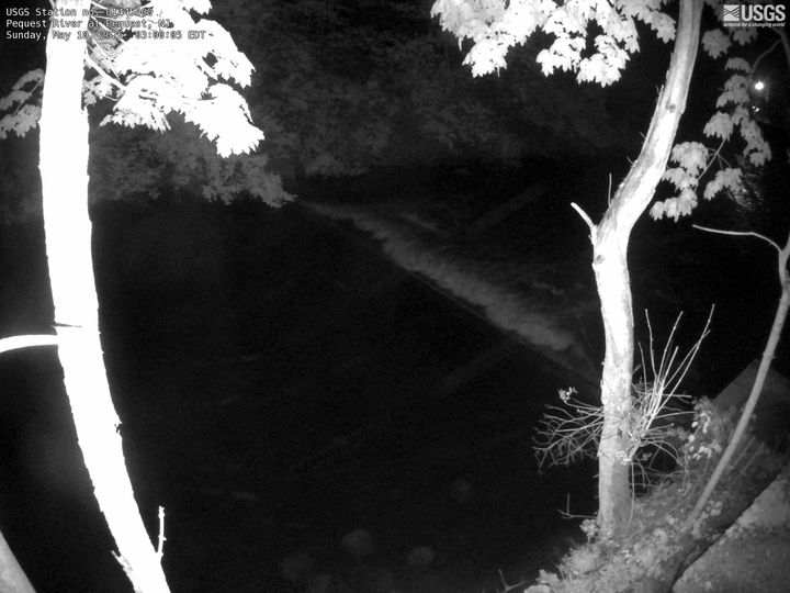
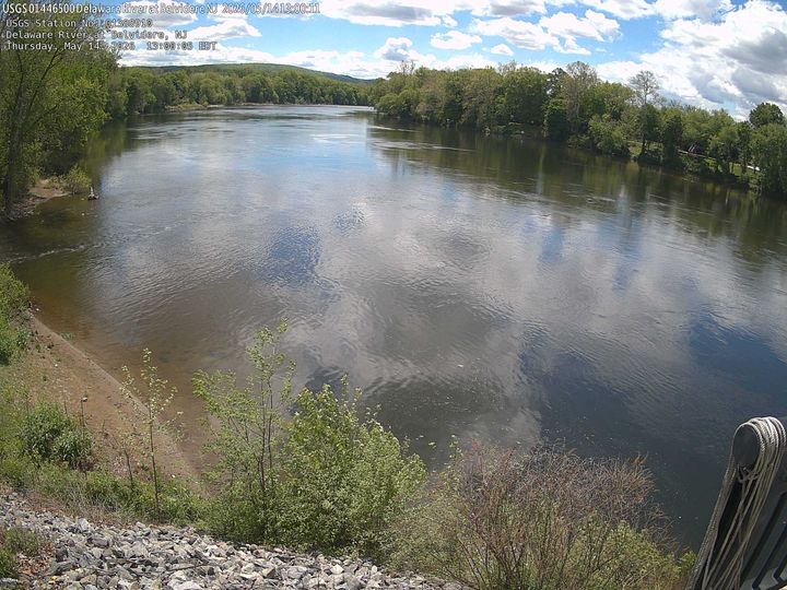
History around Pohatcong Mountain
Towns near Pohatcong Mountain
- Bloomsbury9.5 km away
- Phillipsburg14 km away
- Easton18 km away
- Stockertown21 km away
- Hackettstown21 km away
- Bangor22 km away