Mountains in United States
See it in 3DCounty House Mountain
1,142 ft348 m
Mountain · United States
County House Mountain is a mountain in Warren County, New Jersey. The main peak rises to 1,142 feet (348 m), and is located in Mansfield Township.
From Wikipedia, CC BY-SA · Read the article
Facts
- What it is
- Mountain
- Height above sea level
- 1,142 ft (348 m)
- Country
- United States
- Coordinates
- 40.808°N 74.959°W
- Source
- Wikidata, CC0
County House Mountain
Mountain in New Jersey, United States
County House Mountain is a mountain in Warren County, New Jersey. The main peak rises to 1,142 feet (348 m), and is located in Mansfield Township. County House Mountain is separated from Oxford Mountain to the southwest at Sykes Gap, and is itself bifurcated at Stewart Gap; it forms a part of the divide between Pohatcong Creek and the Pequest River.
From Wikipedia, CC BY-SA · Read the article
Peaks near County House Mountain
- Oxford Mountain955 ft · 2.6 km awayOn the map
- Mount Mohepinoke1,115 ft · 4 km awayOn the map
- High Rock Mountain889 ft · 4.6 km awayOn the map
- Jenny Jump Mountain1,129 ft · 4.6 km awayOn the map
- Baldpate Mountain1,165 ft · 4.9 km awayOn the map
- Mount No More1,150 ft · 5.8 km awayOn the map
- Danville Mountain1,122 ft · 7.1 km awayOn the map
- Pohatcong Mountain866 ft · 9.9 km awayOn the map
- Scotts Mountain1,086 ft · 13 km awayOn the map
- Marble Mountain (New Jersey)771 ft · 19 km awayOn the map
Highest mountains in United States
- Denali20,308 ftOn the map
- Mount Saint Elias18,009 ftOn the map
- Mount Foraker17,402 ftOn the map
- Mount Bona16,535 ftOn the map
- Mount Blackburn16,390 ftOn the map
- Mount Sanford16,237 ftOn the map
- Mount Vancouver15,787 ftOn the map
- Mount Churchill15,636 ftOn the map
- Mount Fairweather15,325 ftOn the map
- Mount Hubbard14,951 ftOn the map
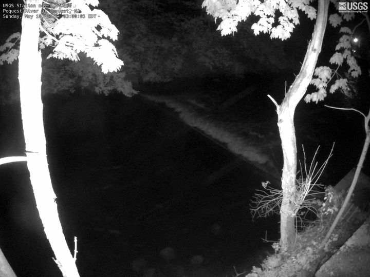
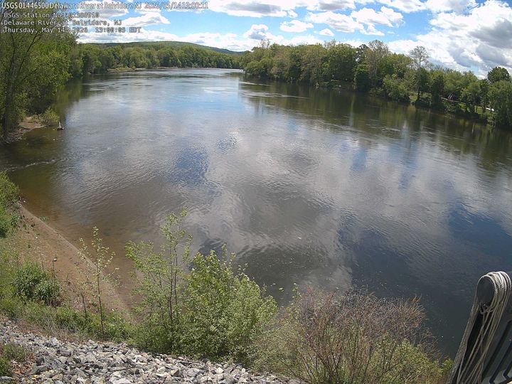
Webcams near County House Mountain
History around County House Mountain
Towns near County House Mountain
- Hackettstown12 km away
- Bloomsbury19 km away
- Bangor22 km away
- Phillipsburg23 km away
- Stanhope24 km away
- Easton26 km away