Eisberg
771 米2,530 英尺
山 · 上普法尔茨林山 · 德国
Eisenberg (Moosbach) is a 771 meters above sea level mountain, located south of the village of Rückersrieth and belongs to the municipality of Moosbach in the eastern part of the district of Neustadt an der Waldnaab. It is the highest elevation in the municipality.
来自Wikipedia,CC BY-SA · 阅读文章
山顶 · 20:00 的预报
6 °C阴 · 北风 10 km/h
Eisberg山顶天气,771 米
- 20:006 °C北 10 km/h–
- 23:005 °C北 9 km/h–
- 2:003 °C北 9 km/h–
- 5:003 °C东北 7 km/h–
- 8:003 °C东北 8 km/h–
- 11:007 °C东 5 km/h–
- 14:009 °C东北 6 km/h–
- 17:004 °C东 7 km/h–
| 日期 | 天气 | 最高 / 最低 | 雨 | 最大风速 |
|---|---|---|---|---|
| 10月29日周四 | 晴 | 9 °C / 2 °C | – | 10 km/h |
| 10月30日周五 | 阴 | 8 °C / 1 °C | – | 17 km/h |
| 10月31日周六 | 阴 | 8 °C / 2 °C | – | 10 km/h |
| 11月1日周日 | 阴 | 7 °C / 2 °C | 0.3 mm | 12 km/h |
| 11月2日周一 | 小雨 | 5 °C / 3 °C | 1.2 mm | 11 km/h |
| 11月3日周二 | 多云 | 7 °C / -0 °C | 0.2 mm | 13 km/h |
| 11月4日周三 | 多云 | 7 °C / -3 °C | 0.1 mm | 12 km/h |
预报来自 MET Norway(CC BY 4.0),更新于 GMT+1 08:17。时间均为当地时间。
基本信息
Eisberg (Moosbach)
Mountain in Germany
Eisenberg (Moosbach) is a 771 meters above sea level mountain, located south of the village of Rückersrieth and belongs to the municipality of Moosbach in the eastern part of the district of Neustadt an der Waldnaab. It is the highest elevation in the municipality. In records of the surveying office and old documents, the mountain is also known as Eisberg, Ameisenberg, Romersberg or Radmannsberg.
来自Wikipedia,CC BY-SA · 阅读文章
Eisberg附近的山峰
- Geissleite636 米 · 20 公里外地图上
- Entenbühl901 米 · 24 公里外地图上
- 高嶺土山532 米 · 32 公里外地图上
- Basaltkegel Parkstein595 米 · 32 公里外地图上
- Čerchov1,042 米 · 33 公里外地图上
- Hadriwa (Bavarian Forest, Zell)677 米 · 47 公里外地图上
- Dyleň940 米 · 48 公里外地图上
- Platte946 米 · 48 公里外地图上
- Teichelberg683 米 · 49 公里外地图上
- Železná hůrka591 米 · 50 公里外地图上
上普法尔茨林山最高峰
- Čerchov1,042 米地图上
- Gibacht938 米地图上
- Entenbühl901 米地图上
- Signalberg888 米地图上
- Burgfels Reichenstein NE von Stadlern874 米地图上
- Velký zvon862 米地图上
- Drechselberg836 米地图上
- Eulenberg (Berg)817 米地图上
- Eisberg771 米地图上
德国最高的山
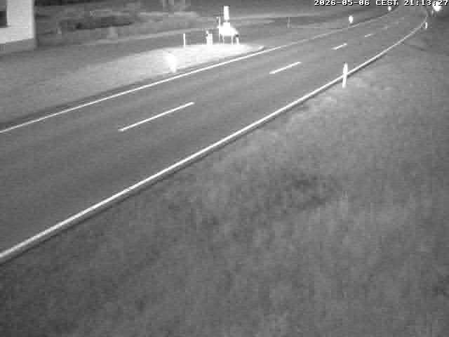
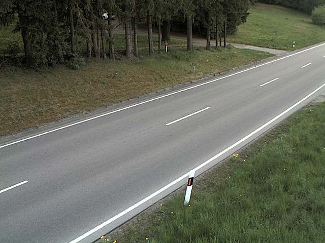
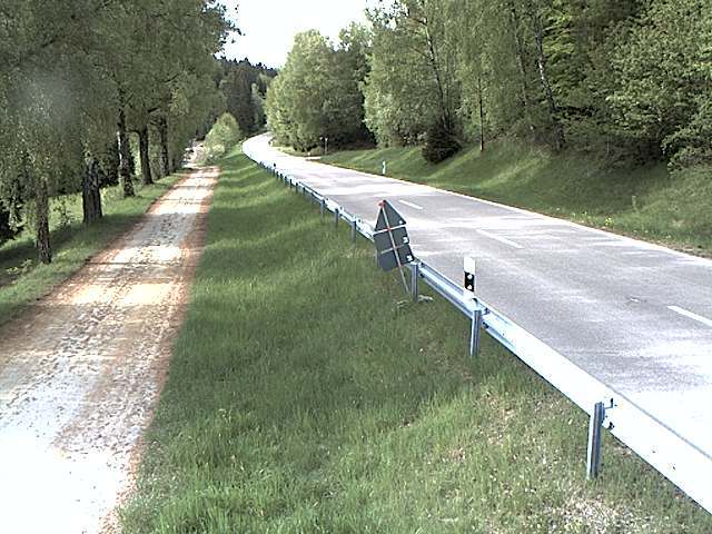
Eisberg附近的网络摄像头
Eisberg周边的历史
Eisberg附近的城镇
- Weiden23 公里外
- Schwandorf in Bayern32 公里外
- Cham39 公里外
- Amberg40 公里外
- Sulzbach-Rosenberg48 公里外
- Marktredwitz56 公里外