Eisberg
771 m2.530 pés
Montanha · Upper Palatine Forest · Alemanha
Eisenberg (Moosbach) is a 771 meters above sea level mountain, located south of the village of Rückersrieth and belongs to the municipality of Moosbach in the eastern part of the district of Neustadt an der Waldnaab. It is the highest elevation in the municipality.
Da Wikipedia, CC BY-SA · Ler o artigo
No cume · previsão para 1:00
4 °CCéu limpo · vento de 7 km/h de S
Clima no cume de Eisberg, 771 m
- 1:004 °CS 7 km/h–
- 4:003 °CS 8 km/h–
- 7:002 °CS 8 km/h0,1 mm
- 10:006 °CSO 7 km/h1,2 mm
- 13:006 °CNO 12 km/h–
- 16:008 °CNO 12 km/h–
- 19:006 °CNO 10 km/h–
- 22:005 °CN 9 km/h–
| Dia | Céu | Máx. / mín. | Chuva | Vento até |
|---|---|---|---|---|
| Hoje | Nublado | 8 °C / 2 °C | 1,3 mm | 13 km/h |
| qui., 29 de out. | Céu limpo | 9 °C / 2 °C | – | 10 km/h |
| sex., 30 de out. | Poucas nuvens | 7 °C / 1 °C | – | 14 km/h |
| sáb., 31 de out. | Parcialmente nublado | 8 °C / 4 °C | – | 11 km/h |
| dom., 1 de nov. | Parcialmente nublado | 7 °C / 3 °C | – | 8 km/h |
| seg., 2 de nov. | Chuva fraca | 5 °C / 1 °C | 1,2 mm | 11 km/h |
| ter., 3 de nov. | Chuva fraca | 4 °C / 2 °C | 0,9 mm | 16 km/h |
Previsão: MET Norway (CC BY 4.0), atualizada às 18:17 GMT+1. Horários locais.
Ficha técnica
- Tipo
- Montanha
- Altitude acima do nível do mar
- 771 m (2.530 pés)
- Cordilheira
- Upper Palatine Forest
- País
- Alemanha
- Coordenadas
- 49.541°N 12.403°E
- Fonte
- Wikidata, CC0
Eisberg (Moosbach)
Mountain in Germany
Eisenberg (Moosbach) is a 771 meters above sea level mountain, located south of the village of Rückersrieth and belongs to the municipality of Moosbach in the eastern part of the district of Neustadt an der Waldnaab. It is the highest elevation in the municipality. In records of the surveying office and old documents, the mountain is also known as Eisberg, Ameisenberg, Romersberg or Radmannsberg.
Da Wikipedia, CC BY-SA · Ler o artigo
Picos perto de Eisberg
- Geissleite636 m · a 20 kmNo mapa
- Entenbühl901 m · a 24 kmNo mapa
- Monte Kaolino532 m · a 32 kmNo mapa
- Basaltkegel Parkstein595 m · a 32 kmNo mapa
- Čerchov1.042 m · a 33 kmNo mapa
- Hadriwa (Bavarian Forest, Zell)677 m · a 47 kmNo mapa
- Dyleň940 m · a 48 kmNo mapa
- Platte946 m · a 48 kmNo mapa
- Teichelberg683 m · a 49 kmNo mapa
- Železná hůrka591 m · a 50 kmNo mapa
Os mais altos de Upper Palatine Forest
- Čerchov1.042 mNo mapa
- Gibacht938 mNo mapa
- Entenbühl901 mNo mapa
- Signalberg888 mNo mapa
- Burgfels Reichenstein NE von Stadlern874 mNo mapa
- Velký zvon862 mNo mapa
- Drechselberg836 mNo mapa
- Eulenberg (Berg)817 mNo mapa
- Eisberg771 mNo mapa
Montanhas mais altas de Alemanha
- Zugspitze2.962 mNo mapa
- Hochwanner2.744 mNo mapa
- Dreitorspitze2.682 mNo mapa
- Hochkalter2.607 mNo mapa
- Biberkopf2.599 mNo mapa
- Grosser Hundstod2.594 mNo mapa
- Hochvogel2.592 mNo mapa
- Östliche Karwendelspitze2.538 mNo mapa
- Hocheisspitze2.523 mNo mapa
- Hoher Göll2.522 mNo mapa
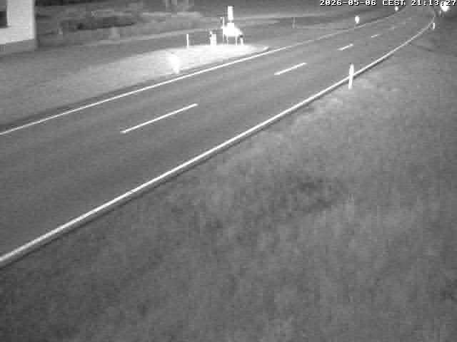
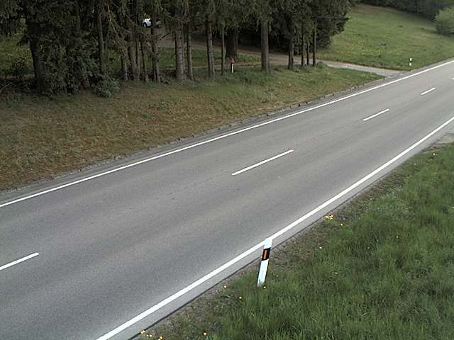
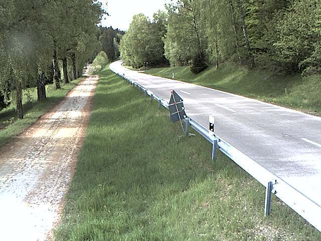
Webcams perto de Eisberg
História ao redor de Eisberg
Cidades perto de Eisberg
- Weidena 23 km
- Schwandorf in Bayerna 32 km
- Chama 39 km
- Amberga 40 km
- Sulzbach-Rosenberga 48 km
- Marktredwitza 56 km