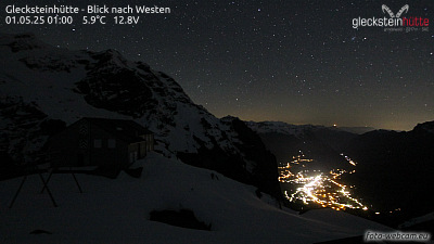
瑞士的山
菲斯特
2,184 米7,165 英尺
山 · 伯訥前阿爾卑斯山脈 · 瑞士
First is a mountain location and minor summit on the slopes of the Schwarzhorn in the Bernese Oberland. It is mostly known as a cable car station above Grindelwald (Firstbahn) and as a popular hiking area with the Bachalpsee in proximity. It is also the destination of the classic hike: Schynige Platte-Faulhorn-First.
来自Wikipedia,CC BY-SA · 阅读文章
山顶 · 0:00 的预报
6 °C多云 · 南风 3 km/h
 3D 查看
菲斯特山顶天气,2,184 米
- 0:006 °C南 3 km/h–
- 3:004 °C南 3 km/h–
- 6:004 °C南 4 km/h–
- 9:008 °C东南 4 km/h–
- 12:0012 °C西北 4 km/h–
- 15:0012 °C西 6 km/h–
- 18:007 °C西 2 km/h–
- 21:004 °C南 4 km/h–
| 日期 | 天气 | 最高 / 最低 | 雨 | 最大风速 |
|---|---|---|---|---|
| 今天 | 晴 | 12 °C / 1 °C | – | 6 km/h |
| 10月28日周三 | 小雨 | 4 °C / -0 °C | 1.6 mm | 8 km/h |
| 10月29日周四 | 少云 | 7 °C / -0 °C | – | 6 km/h |
| 10月30日周五 | 晴 | 8 °C / 1 °C | – | 2 km/h |
| 10月31日周六 | 少云 | 8 °C / 1 °C | – | 1 km/h |
| 11月1日周日 | 晴 | 7 °C / 1 °C | – | 3 km/h |
| 11月2日周一 | 晴 | 5 °C / -2 °C | – | 3 km/h |
预报来自 MET Norway(CC BY 4.0),更新于 GMT+1 20:16。时间均为当地时间。