德国的山
Galgenberg
506 米1,660 英尺
山 · 哈爾茨山脈 · 德国
The Galgenberg is a 506.1-metre-high hill east of Elbingerode (Harz) in the Harz Mountains of central Germany. It marks the highest point on the row of limestone crags found there.
来自Wikipedia,CC BY-SA · 阅读文章
山顶 · 10:00 的预报
11 °C少云 · 西北风 17 km/h
 3D 查看
Galgenberg山顶天气,506 米
- 10:0011 °C西北 17 km/h–
- 13:0012 °C西北 16 km/h–
- 16:0011 °C西北 10 km/h–
- 19:006 °C西南 8 km/h–
- 22:005 °C西南 8 km/h–
- 1:005 °C西南 8 km/h–
- 4:005 °C西南 7 km/h–
- 7:004 °C西南 9 km/h–
| 日期 | 天气 | 最高 / 最低 | 雨 | 最大风速 |
|---|---|---|---|---|
| 今天 | 少云 | 12 °C / 5 °C | – | 17 km/h |
| 10月29日周四 | 阴 | 12 °C / 4 °C | – | 10 km/h |
| 10月30日周五 | 多云 | 11 °C / 7 °C | 0.2 mm | 9 km/h |
| 10月31日周六 | 阴 | 7 °C / 6 °C | 0.4 mm | 6 km/h |
| 11月1日周日 | 阴 | 8 °C / 6 °C | 0.1 mm | 5 km/h |
| 11月2日周一 | 中雨 | 7 °C / 6 °C | 3.2 mm | 15 km/h |
| 11月3日周二 | 小雨 | 8 °C / 5 °C | 2.5 mm | 18 km/h |
预报来自 MET Norway(CC BY 4.0),更新于 GMT+1 20:17。时间均为当地时间。
基本信息
Galgenberg (Elbingerode)
The Galgenberg is a 506.1-metre-high hill east of Elbingerode (Harz) in the Harz Mountains of central Germany. It marks the highest point on the row of limestone crags found there. The old Trock Way (Trockweg), which ran from Quedlinburg to the imperial stronghold of Bodfeld, probably ran past the Galgenberg immediately to the north.
来自Wikipedia,CC BY-SA · 阅读文章
Galgenberg附近的山峰
- Scharfenstein462 米 · 4.2 公里外地图上
- Bockberg496 米 · 4.6 公里外地图上
- Armeleuteberg478 米 · 5.4 公里外地图上
- Kapitelsberg536 米 · 8.9 公里外地图上
- Erdbeerkopf848 米 · 9.5 公里外地图上
- Rauher Jakob569 米 · 9.6 公里外地图上
- Barenberg696 米 · 10 公里外地图上
- Wolfsklippen722 米 · 11 公里外地图上
- Renneckenberg929 米 · 12 公里外地图上
- Kleiner Winterberg837 米 · 13 公里外地图上
哈爾茨山脈最高峰
- 布罗肯峰1,141 米地图上
- Renneckenberg929 米地图上
- Quitschenberg882 米地图上
- Auf dem Acker865 米地图上
- Schalke762 米地图上
- Bocksberg725 米地图上
- Wolfsklippen722 米地图上
- Stöberhai719 米地图上
- Galgenberg506 米地图上
德国最高的山
Galgenberg附近的网络摄像头

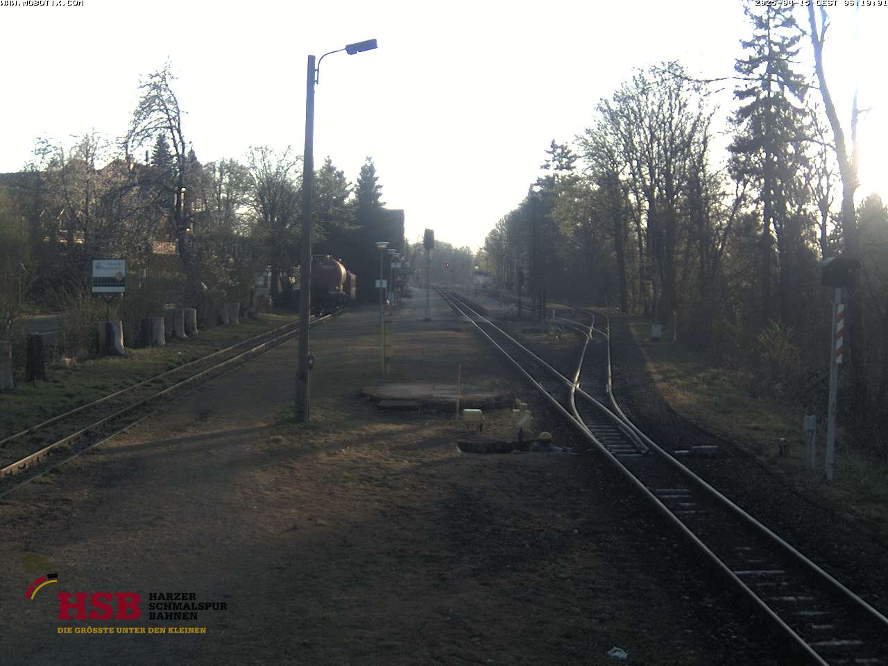


Galgenberg周边的历史
Galgenberg附近的城镇
- Wernigerode7.4 公里外
- Blankenburg9.7 公里外
- Halberstadt21 公里外
- Bad Harzburg21 公里外
- Quedlinburg23 公里外
- Nordhausen30 公里外