ドイツの山
Galgenberg
506 m1,660 ft
山 · ハルツ山地 · ドイツ
The Galgenberg is a 506.1-metre-high hill east of Elbingerode (Harz) in the Harz Mountains of central Germany. It marks the highest point on the row of limestone crags found there.
出典: Wikipedia、CC BY-SA · 記事を読む
山頂 · 15:00 の予報
14 °C晴れ時々曇り · 南西の風 20 km/h
 3D で見る
Galgenberg 山頂の天気(506 m)
- 15:0014 °C南西 20 km/h–
- 18:0011 °C南西 21 km/h–
- 21:0011 °C南西 21 km/h–
- 0:0011 °C南西 18 km/h–
- 3:0011 °C西 14 km/h2.5 mm
- 6:0010 °C北西 13 km/h0.1 mm
- 9:009 °C北西 18 km/h–
- 12:0011 °C北西 18 km/h–
| 日付 | 天気 | 最高 / 最低 | 雨 | 最大風速 |
|---|---|---|---|---|
| 10月28日(水) | 晴れ | 12 °C / 5 °C | 2.6 mm | 18 km/h |
| 10月29日(木) | 曇り | 12 °C / 3 °C | – | 12 km/h |
| 10月30日(金) | 晴れ時々曇り | 10 °C / 7 °C | 0.5 mm | 3 km/h |
| 10月31日(土) | 曇り | 7 °C / 6 °C | 0.4 mm | 6 km/h |
| 11月1日(日) | 曇り | 8 °C / 6 °C | 0.1 mm | 5 km/h |
| 11月2日(月) | 雨 | 7 °C / 6 °C | 3.2 mm | 15 km/h |
| 11月3日(火) | 小雨 | 8 °C / 5 °C | 2.5 mm | 18 km/h |
MET Norway(CC BY 4.0)による予報。12:19 GMT+1 更新。時刻は現地時間です。
基本データ
- 種類
- 山
- 標高
- 506 m (1,660 ft)
- 山脈
- ハルツ山地
- 国
- ドイツ
- 座標
- 51.774°N 10.817°E
Galgenberg (Elbingerode)
The Galgenberg is a 506.1-metre-high hill east of Elbingerode (Harz) in the Harz Mountains of central Germany. It marks the highest point on the row of limestone crags found there. The old Trock Way (Trockweg), which ran from Quedlinburg to the imperial stronghold of Bodfeld, probably ran past the Galgenberg immediately to the north.
出典: Wikipedia、CC BY-SA · 記事を読む
Galgenberg周辺の山
- Scharfenstein462 m · 4.2 km先地図上
- Bockberg496 m · 4.6 km先地図上
- Armeleuteberg478 m · 5.4 km先地図上
- Kapitelsberg536 m · 8.9 km先地図上
- Erdbeerkopf848 m · 9.5 km先地図上
- Rauher Jakob569 m · 9.6 km先地図上
- Barenberg696 m · 10 km先地図上
- Wolfsklippen722 m · 11 km先地図上
- Renneckenberg929 m · 12 km先地図上
- Kleiner Winterberg837 m · 13 km先地図上
ハルツ山地の最高峰
- ブロッケン山1,141 m地図上
- Renneckenberg929 m地図上
- Quitschenberg882 m地図上
- Auf dem Acker865 m地図上
- Schalke762 m地図上
- Bocksberg725 m地図上
- Wolfsklippen722 m地図上
- Stöberhai719 m地図上
- Galgenberg506 m地図上
ドイツの高い山
- ツークシュピッツェ2,962 m地図上
- Hochwanner2,744 m地図上
- Dreitorspitze2,682 m地図上
- ホッホカルター2,607 m地図上
- Biberkopf2,599 m地図上
- Großer Hundstod2,594 m地図上
- Hochvogel2,592 m地図上
- Östliche Karwendelspitze2,538 m地図上
- Hocheisspitze2,523 m地図上
- Hoher Göll2,522 m地図上
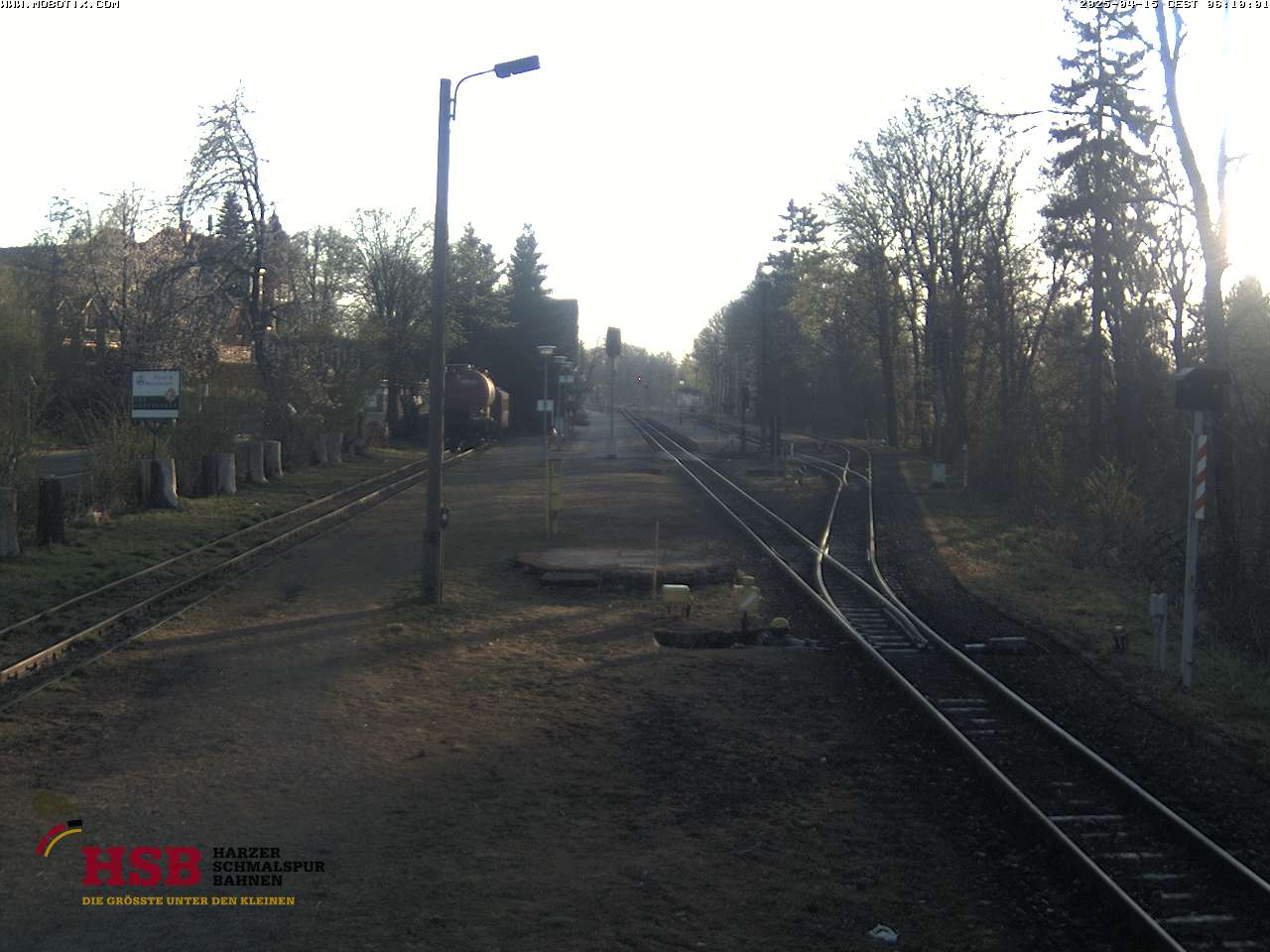
Galgenberg周辺のライブカメラ



Galgenberg周辺の歴史
Galgenberg周辺の町
- Wernigerode7.4 km先
- Blankenburg9.7 km先
- Halberstadt21 km先
- Bad Harzburg21 km先
- Quedlinburg23 km先
- Nordhausen30 km先