美国的山
Gaylor Peak
10,994 英尺3,351 米
山 · 美国
Gaylor Peak is an 11,004-foot (3,354-meter) mountain summit located on the crest of the Sierra Nevada mountain range in northern California, United States.
来自Wikipedia,CC BY-SA · 阅读文章
山顶 · 20:00 的预报
23 °F晴 · 西南风 5 英里/小时
 3D 查看
Gaylor Peak山顶天气,10,994 英尺
- 20:0023 °F西南 5 英里/小时–
- 23:0026 °F西南 4 英里/小时–
- 2:0026 °F西南 5 英里/小时–
- 5:0025 °F西南 6 英里/小时–
- 8:0027 °F西南 7 英里/小时–
- 11:0039 °F西南 13 英里/小时–
- 14:0040 °F西南 16 英里/小时–
- 17:0033 °F西南 11 英里/小时–
| 日期 | 天气 | 最高 / 最低 | 雨 | 最大风速 |
|---|---|---|---|---|
| 10月27日周二 | 晴 | 40 °F / 22 °F | – | 16 英里/小时 |
| 10月28日周三 | 多云 | 42 °F / 23 °F | – | 9 英里/小时 |
| 10月29日周四 | 阴 | 33 °F / 22 °F | 0.08 英寸 | 12 英里/小时 |
| 10月30日周五 | 阴 | 28 °F / 19 °F | 0.05 英寸 | 9 英里/小时 |
| 10月31日周六 | 阴 | 25 °F / 15 °F | 0.02 英寸 | 13 英里/小时 |
| 11月1日周日 | 晴 | 33 °F / 15 °F | – | 4 英里/小时 |
| 11月2日周一 | 晴 | 43 °F / 24 °F | – | 4 英里/小时 |
预报来自 MET Norway(CC BY 4.0),更新于 GMT-7 18:17。时间均为当地时间。
基本信息
Gaylor Peak
Mountain summit in California
Gaylor Peak is an 11,004-foot (3,354-meter) mountain summit located on the crest of the Sierra Nevada mountain range in northern California, United States. The peak is positioned on the boundary between Yosemite National Park and the Inyo National Forest, and it also lies on the border between Mono County and Tuolumne County.
来自Wikipedia,CC BY-SA · 阅读文章
Gaylor Peak附近的山峰
- 达拉山13,061 英尺 · 4.5 公里外地图上
- 吉布斯山12,779 英尺 · 6.6 公里外地图上
- 康内斯山12,649 英尺 · 7.2 公里外地图上
- Lembert Dome9,455 英尺 · 8.2 公里外地图上
- North Peak12,248 英尺 · 8.3 公里外地图上
- Excelsior Mountain12,438 英尺 · 12 公里外地图上
- Unicorn Peak10,828 英尺 · 13 公里外地图上
- Fairview Dome9,728 英尺 · 13 公里外地图上
- Daff Dome9,158 英尺 · 14 公里外地图上
- Doda Dome8,907 英尺 · 14 公里外地图上
美国最高的山
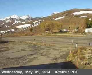
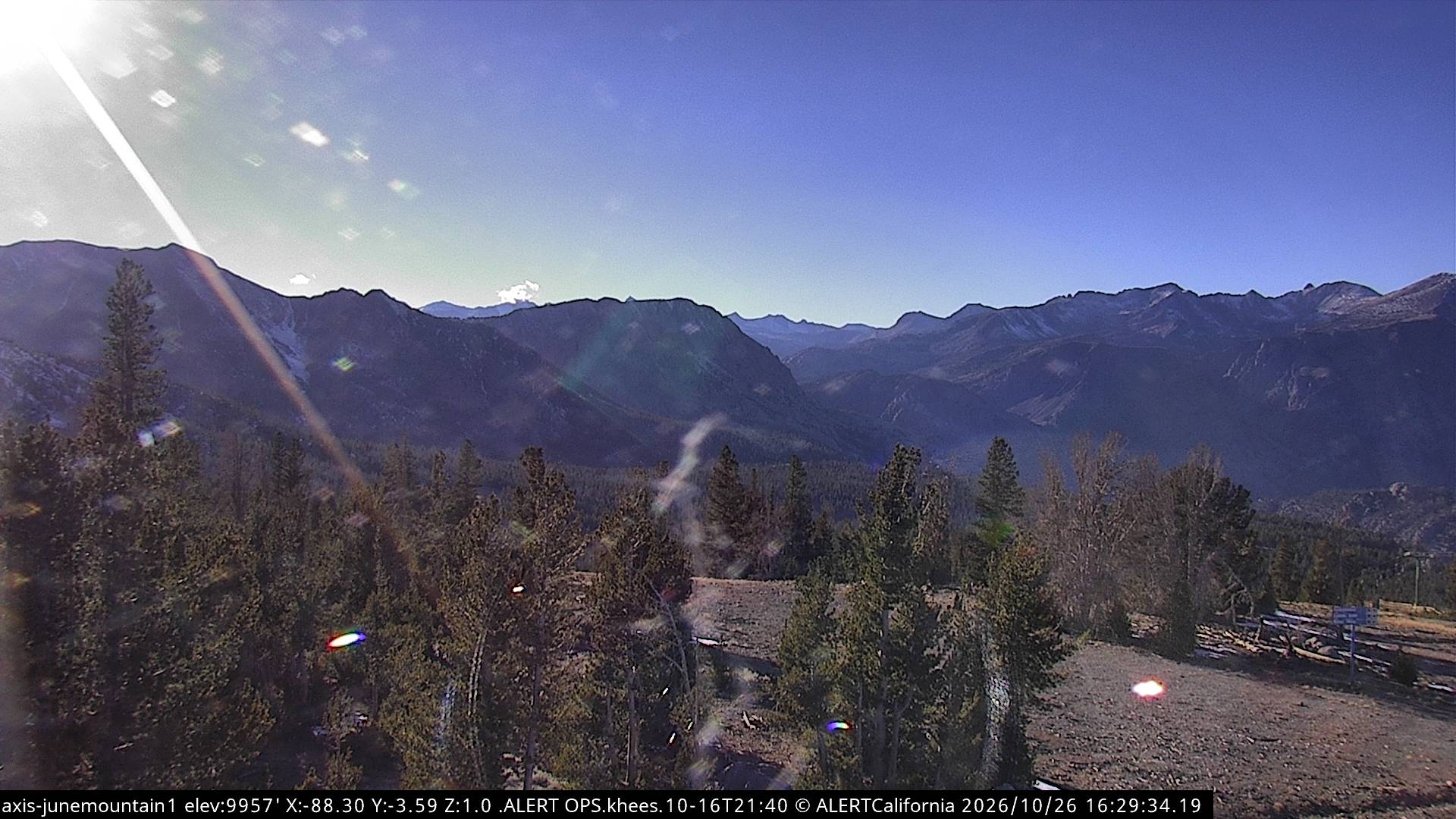
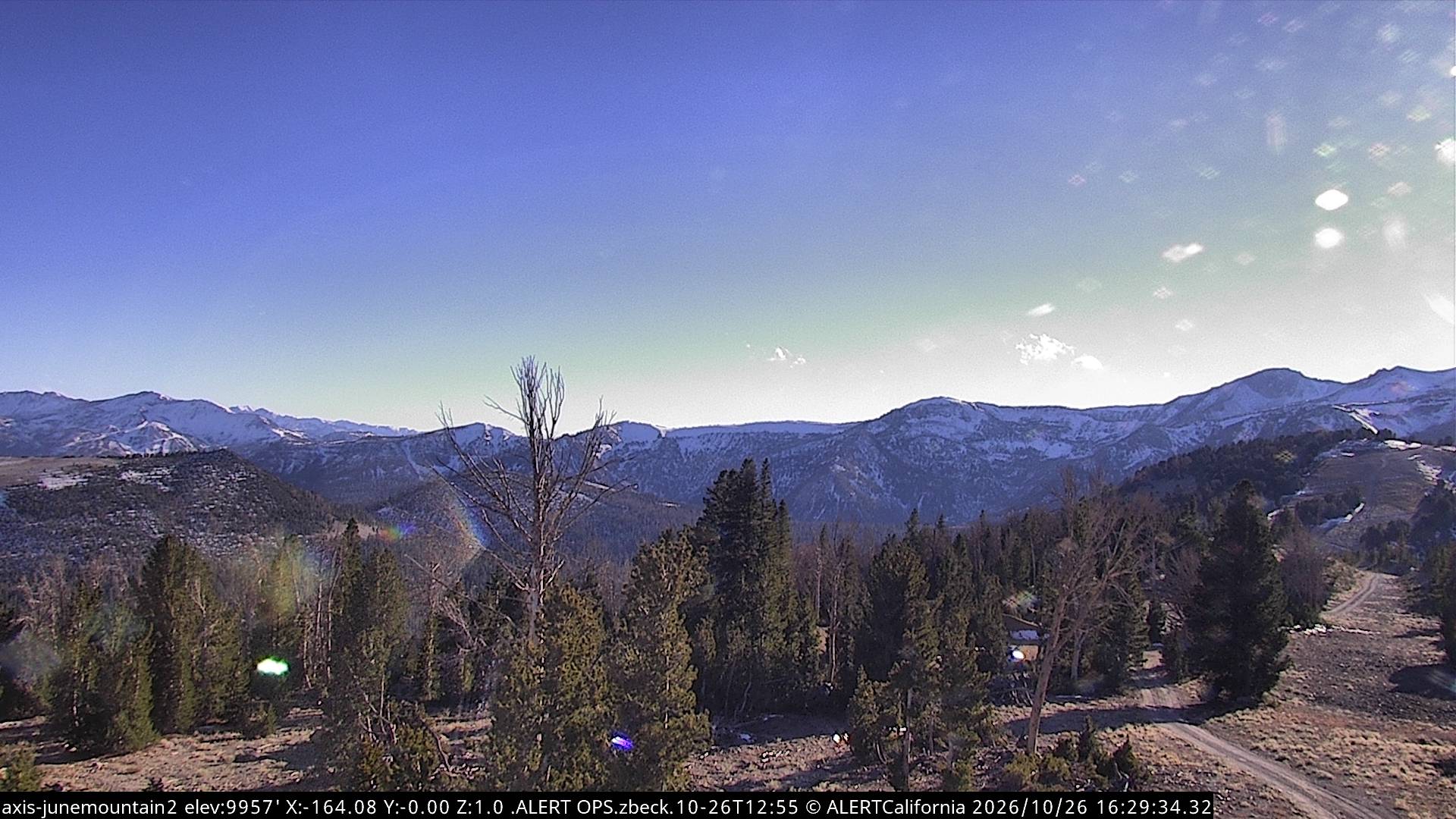
Gaylor Peak附近的网络摄像头

Gaylor Peak附近的城镇
- Mammoth Lakes41 公里外