Goosenest
山 · 美国
Goosenest is a shield volcano topped by a pyroclastic cone at its summit located in the Cascades of northern California. The area is near Mount Shasta, and represents one of the region's short-lived shield volcanoes, although Goosenest is a larger and longer-lived example.
来自Wikipedia,CC BY-SA · 阅读文章
山顶 · 13:00 的预报
35 °F雨夹雪 · 西风 11 英里/小时
 3D 查看
Goosenest天气预报
- 13:0035 °F西 11 英里/小时0.01 英寸
- 16:0035 °F西 9 英里/小时–
- 19:0026 °F西南 3 英里/小时–
- 22:0021 °F南 2 英里/小时–
- 1:0021 °F西南 3 英里/小时–
- 4:0021 °F西 3 英里/小时–
- 7:0021 °F西南 3 英里/小时–
- 10:0032 °F西南 2 英里/小时–
| 日期 | 天气 | 最高 / 最低 | 雨 | 最大风速 |
|---|---|---|---|---|
| 10月28日周三 | 晴 | 41 °F / 21 °F | – | 5 英里/小时 |
| 10月29日周四 | 阴 | 44 °F / 26 °F | – | 5 英里/小时 |
| 10月30日周五 | 多云 | 38 °F / 25 °F | – | 2 英里/小时 |
| 10月31日周六 | 阴 | 35 °F / 24 °F | 0.01 英寸 | 7 英里/小时 |
| 11月1日周日 | 晴 | 37 °F / 21 °F | – | 4 英里/小时 |
| 11月2日周一 | 少云 | 46 °F / 24 °F | – | 4 英里/小时 |
| 11月3日周二 | 阴 | 50 °F / 37 °F | – | 1 英里/小时 |
预报来自 MET Norway(CC BY 4.0),更新于 GMT-7 10:17。时间均为当地时间。
基本信息
Goosenest
Volcano in California
Goosenest is a shield volcano topped by a pyroclastic cone at its summit located in the Cascades of northern California. The area is near Mount Shasta, and represents one of the region's short-lived shield volcanoes, although Goosenest is a larger and longer-lived example. Its volcanic edifice comprises basaltic to basaltic andesitic lava flows, a rare feature for the area.
来自Wikipedia,CC BY-SA · 阅读文章
Goosenest附近的山峰
- Shastina12,335 英尺 · 35 公里外地图上
- 沙斯塔山14,180 英尺 · 35 公里外地图上
- Rainbow Mountain7,619 英尺 · 35 公里外地图上
- Black Butte6,334 英尺 · 41 公里外地图上
- 派勒特岩5,910 英尺 · 44 公里外地图上
- Mount Eddy9,037 英尺 · 49 公里外地图上
- 医药湖火山7,921 英尺 · 54 公里外地图上
- Mount Bradley5,563 英尺 · 56 公里外地图上
- 阿什蘭山7,533 英尺 · 57 公里外地图上
- Schonchin Butte5,292 英尺 · 58 公里外地图上
美国最高的山
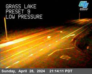
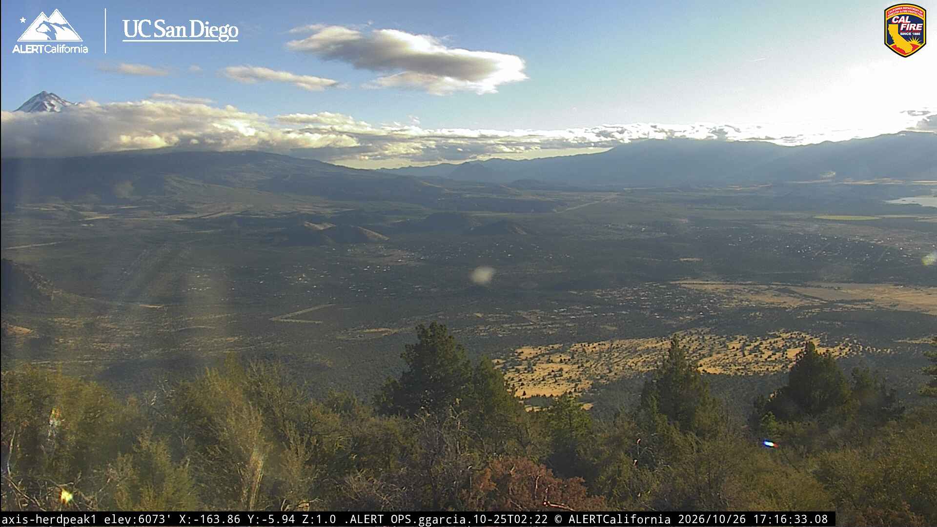
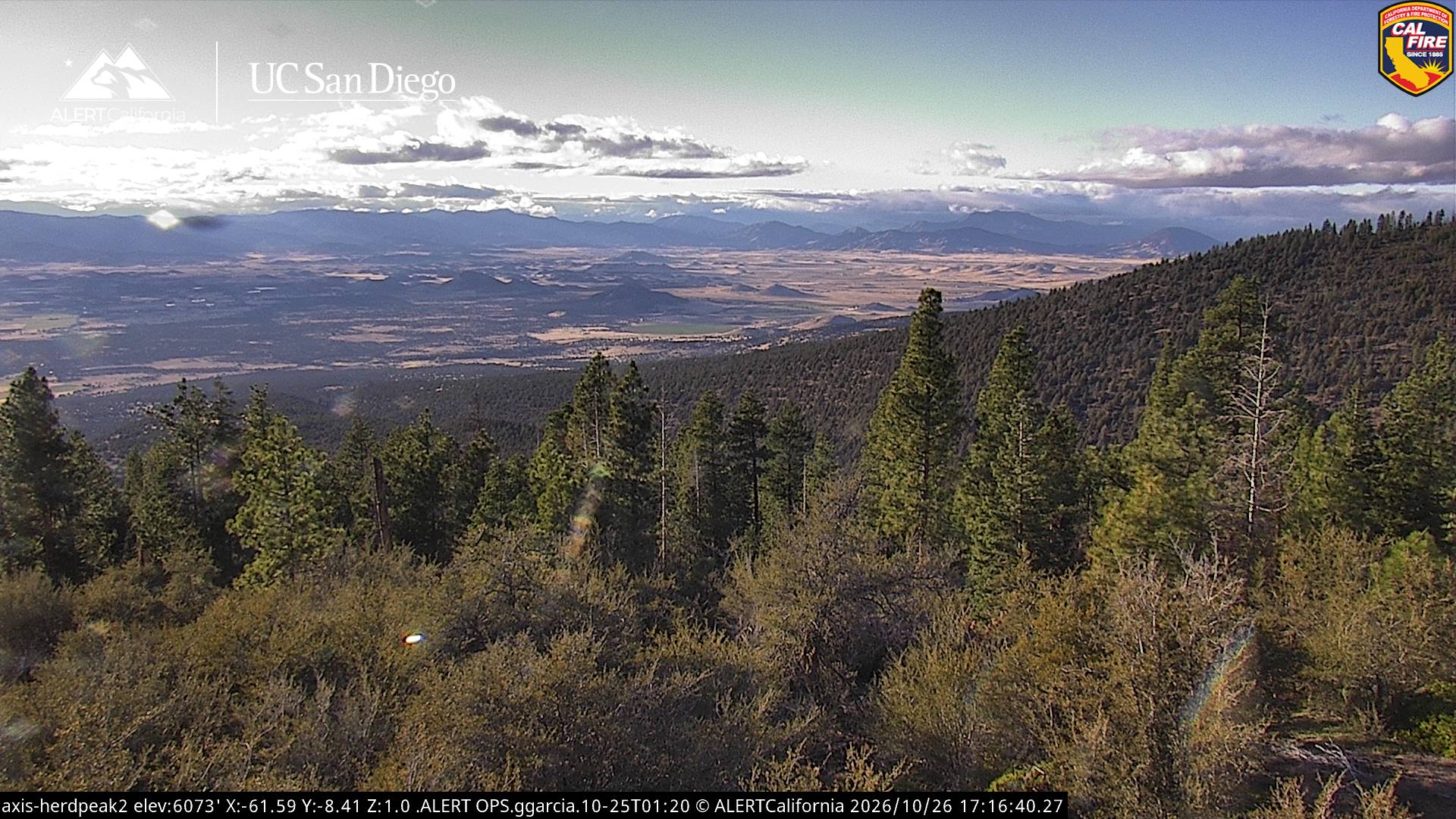
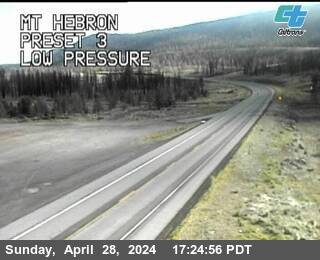
Goosenest附近的网络摄像头
Goosenest周边的历史
- Tennant Fire2021