Black Butte
6,334 英尺1,931 米
山 · California Cascades · 美国
Black Butte is a cluster of overlapping dacite lava domes in a butte, a satellite cone of Mount Shasta. It is located directly adjacent to the northbound lanes of Interstate 5 at milepost 742 between the cities of Mount Shasta and Weed, California.
来自Wikipedia,CC BY-SA · 阅读文章
山顶 · 7:00 的预报
30 °F阴 · 东南风 1 英里/小时
 3D 查看
Black Butte山顶天气,6,334 英尺
- 7:0030 °F东南 1 英里/小时–
- 10:0041 °F东 3 英里/小时–
- 13:0047 °F东 6 英里/小时–
- 16:0047 °F东南 7 英里/小时–
- 19:0035 °F东南 4 英里/小时–
- 22:0031 °F东南 6 英里/小时–
- 1:0032 °F南 8 英里/小时–
- 4:0030 °F南 7 英里/小时–
| 日期 | 天气 | 最高 / 最低 | 雨 | 最大风速 |
|---|---|---|---|---|
| 今天 | 阴 | 48 °F / 30 °F | – | 7 英里/小时 |
| 10月30日周五 | 小雨 | 44 °F / 28 °F | 0.03 英寸 | 9 英里/小时 |
| 10月31日周六 | 小雨 | 41 °F / 30 °F | 0.13 英寸 | 10 英里/小时 |
| 11月1日周日 | 阴 | 36 °F / 27 °F | 0.03 英寸 | 6 英里/小时 |
| 11月2日周一 | 少云 | 47 °F / 29 °F | – | 2 英里/小时 |
| 11月3日周二 | 多云 | 55 °F / 39 °F | – | 7 英里/小时 |
| 11月4日周三 | 晴 | 54 °F / 42 °F | – | 13 英里/小时 |
预报来自 MET Norway(CC BY 4.0),更新于 GMT-7 01:20。时间均为当地时间。
基本信息
Black Butte (Siskiyou County, California)
Overlapping dacite lava domes in Northern California, United States
Black Butte is a cluster of overlapping dacite lava domes in a butte, a satellite cone of Mount Shasta. It is located directly adjacent to the northbound lanes of Interstate 5 at milepost 742 between the cities of Mount Shasta and Weed, California. The I-5 freeway crosses a 3,912 ft (1,192 m) pass, Black Butte Summit, at the western base of the lava domes.
来自Wikipedia,CC BY-SA · 阅读文章
Black Butte附近的山峰
- Shastina12,335 英尺 · 11 公里外地图上
- Mount Eddy9,037 英尺 · 12 公里外地图上
- 沙斯塔山14,180 英尺 · 14 公里外地图上
- Mount Bradley5,563 英尺 · 16 公里外地图上
- Rainbow Mountain7,619 英尺 · 35 公里外地图上
- Russian Peak8,199 英尺 · 51 公里外地图上
- Ycatapom Peak7,593 英尺 · 53 公里外地图上
- Goosenest山 · 41 公里外地图上
California Cascades最高峰
- 沙斯塔山14,180 英尺地图上
- Shastina12,335 英尺地图上
- 拉森火山10,463 英尺地图上
- Mount Tehama9,239 英尺地图上
- Crater Peak8,684 英尺地图上
- Loomis Peak8,658 英尺地图上
- Prospect Peak8,323 英尺地图上
- Mount Conard8,117 英尺地图上
- Black Butte6,334 英尺地图上
美国最高的山
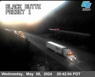
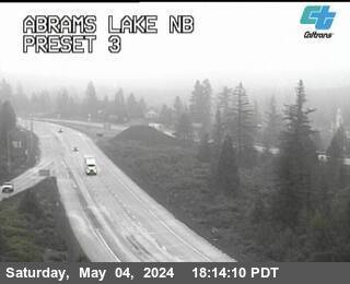
Black Butte附近的网络摄像头
Black Butte周边的历史
- Mill Fire2022
- Lava Fire2021
- Boles fire2014
Black Butte附近的城镇
- Weed5.8 公里外