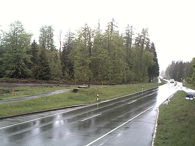
德国的山
Großer Farmdenkopf
869 米2,851 英尺
山 · 图林根板岩山脉 · 德国
At 869 m above sea level (NN), the Großer Farmdenkopf is the highest peak in the Thuringian Highland. It is situated in the county of Sonneberg in the German state of Thuringia.
来自Wikipedia,CC BY-SA · 阅读文章
图林根板岩山脉的最高点
山顶 · 23:00 的预报
2 °C晴 · 北风 6 km/h
 3D 查看
Großer Farmdenkopf山顶天气,869 米
- 23:002 °C北 6 km/h–
- 2:002 °C北 3 km/h–
- 5:002 °C东北 4 km/h–
- 8:003 °C东南 4 km/h–
- 11:008 °C西 4 km/h–
- 14:0010 °C北 9 km/h–
- 17:005 °C北 8 km/h–
- 20:004 °C东北 9 km/h–
| 日期 | 天气 | 最高 / 最低 | 雨 | 最大风速 |
|---|---|---|---|---|
| 10月29日周四 | 晴 | 10 °C / 2 °C | – | 11 km/h |
| 10月30日周五 | 阴 | 7 °C / 3 °C | – | 15 km/h |
| 10月31日周六 | 阴 | 5 °C / 2 °C | 0.2 mm | 13 km/h |
| 11月1日周日 | 阴 | 5 °C / 2 °C | 0.2 mm | 9 km/h |
| 11月2日周一 | 多云 | 6 °C / 2 °C | 1.4 mm | 20 km/h |
| 11月3日周二 | 晴 | 5 °C / 0 °C | 0.2 mm | 18 km/h |
| 11月4日周三 | 阴 | 5 °C / 1 °C | 0.3 mm | 10 km/h |
预报来自 MET Norway(CC BY 4.0),更新于 GMT+1 09:19。时间均为当地时间。
基本信息
Großer Farmdenkopf附近的山峰
- Kieferle867 米 · 6.1 公里外地图上
- Hettstädt808 米 · 8.5 公里外地图上
- Apelsberg780 米 · 9 公里外地图上
- Rückersbiel756 米 · 9.3 公里外地图上
- Simmersberg781 米 · 10 公里外地图上
- Sauhügel720 米 · 11 公里外地图上
- Hahnberg686 米 · 11 公里外地图上
- Mittelberg804 米 · 11 公里外地图上
- Spitzer Berg790 米 · 12 公里外地图上
- Mutzenberg770 米 · 12 公里外地图上
图林根板岩山脉最高峰
- Großer Farmdenkopf869 米地图上
- Dürre Fichte861 米地图上
- Eisenberg (Thüringer Schiefergebirge)853 米地图上
- Breiten-Berg844 米地图上
- Fellberg842 米地图上
- Eselsberg842 米地图上
- Pappenheimer Berg835 米地图上
- Langer Berg809 米地图上
- Hettstädt808 米地图上