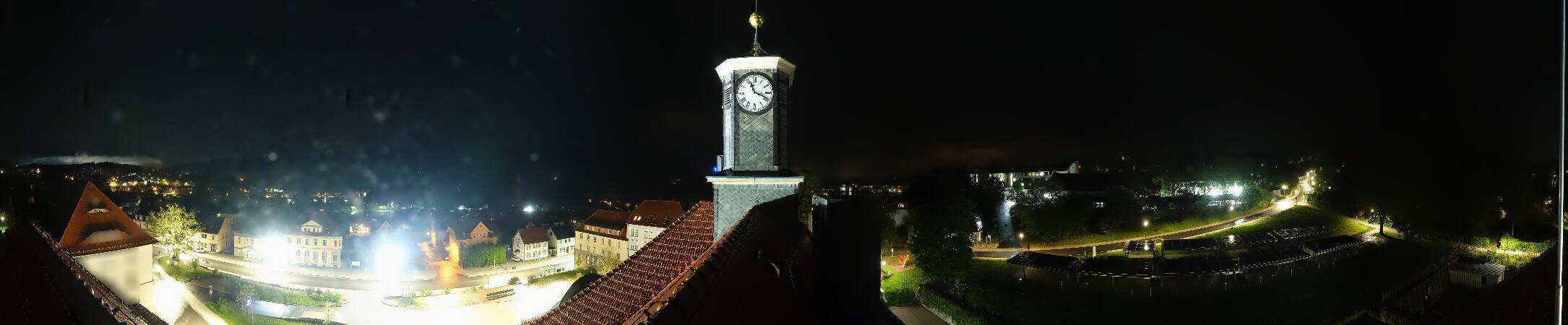
德国的山
Simmersberg
781 米2,562 英尺
山 · 图林根林山 · 德国
The Simmersberg is a mountain, 780.8 m above sea level (NHN), near Schnett in the municipality of Masserberg) in the county of Hildburghausen in Germany.
来自Wikipedia,CC BY-SA · 阅读文章
山顶 · 19:00 的预报
7 °C晴 · 东南风 17 km/h
 3D 查看
Simmersberg山顶天气,781 米
- 19:007 °C东南 17 km/h–
- 22:005 °C东南 18 km/h–
- 1:005 °C东南 13 km/h–
- 4:006 °C南 9 km/h2.1 mm
- 7:007 °C北 12 km/h1.2 mm
- 10:008 °C西北 14 km/h–
- 13:0010 °C西北 15 km/h–
- 16:009 °C西北 10 km/h–
| 日期 | 天气 | 最高 / 最低 | 雨 | 最大风速 |
|---|---|---|---|---|
| 10月28日周三 | 阴 | 10 °C / 3 °C | 3.3 mm | 17 km/h |
| 10月29日周四 | 晴 | 10 °C / 1 °C | – | 10 km/h |
| 10月30日周五 | 少云 | 11 °C / 1 °C | – | 10 km/h |
| 10月31日周六 | 少云 | 9 °C / 2 °C | – | 9 km/h |
| 11月1日周日 | 多云 | 9 °C / 2 °C | – | 10 km/h |
| 11月2日周一 | 少云 | 7 °C / 3 °C | – | 18 km/h |
| 11月3日周二 | 阴 | 7 °C / 2 °C | 0.8 mm | 14 km/h |
预报来自 MET Norway(CC BY 4.0),更新于 GMT+1 06:20。时间均为当地时间。
基本信息
Simmersberg
Mountain in Germany
The Simmersberg is a mountain, 780.8 m above sea level (NHN), near Schnett in the municipality of Masserberg) in the county of Hildburghausen in Germany. It is the main summit of a forked mountain chain, which runs along the boundary between the Thuringian Forest and the Thuringian Highland from Masserberg towards the southwest and is bounded by the valleys of the Schleuse and its tributary, the Biber.
来自Wikipedia,CC BY-SA · 阅读文章
Simmersberg附近的山峰
- Großer Farmdenkopf869 米 · 10 公里外地图上
- Kieferle867 米 · 15 公里外地图上
- Großer Finsterberg944 米 · 16 公里外地图上
- Schneeberg692 米 · 18 公里外地图上
- Hettstädt808 米 · 18 公里外地图上
- Kickelhahn861 米 · 18 公里外地图上
- Apelsberg780 米 · 19 公里外地图上
- Rückersbiel756 米 · 19 公里外地图上
- Schneekopf978 米 · 20 公里外地图上
- 大贝尔山983 米 · 20 公里外地图上
图林根林山最高峰
- 大贝尔山983 米地图上
- Ruppberg866 米地图上
- Dreiherrnstein838 米地图上
- Großer Hundskopf824 米地图上
- Reischelberg821 米地图上
- Pferdeberg805 米地图上
- Kohlhieb790 米地图上
- Simmersberg781 米地图上
- Schwefel-Kopf774 米地图上