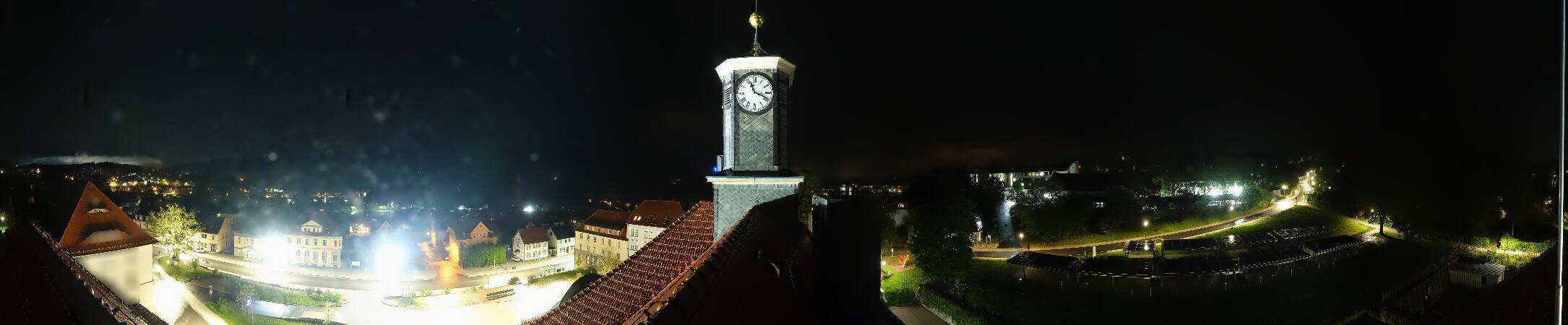
Simmersberg
781 m2,562 ft
山 · テューリンゲンの森 · ドイツ
The Simmersberg is a mountain, 780.8 m above sea level (NHN), near Schnett in the municipality of Masserberg) in the county of Hildburghausen in Germany.
出典: Wikipedia、CC BY-SA · 記事を読む
山頂 · 6:00 の予報
6 °C強い雨 · 北西の風 9 km/h
 3D で見る
Simmersberg 山頂の天気(781 m)
- 6:006 °C北西 9 km/h3.2 mm
- 9:008 °C北西 11 km/h0.3 mm
- 12:009 °C北西 14 km/h0.1 mm
- 15:0010 °C北西 13 km/h–
- 18:004 °C北 8 km/h–
- 21:003 °C北 7 km/h–
- 0:002 °C北東 3 km/h–
- 3:002 °C北東 3 km/h–
| 日付 | 天気 | 最高 / 最低 | 雨 | 最大風速 |
|---|---|---|---|---|
| 今日 | 晴れ時々曇り | 10 °C / 2 °C | 3.6 mm | 14 km/h |
| 10月29日(木) | 快晴 | 10 °C / 2 °C | – | 10 km/h |
| 10月30日(金) | 曇り | 8 °C / 3 °C | – | 10 km/h |
| 10月31日(土) | 晴れ時々曇り | 7 °C / 4 °C | – | 13 km/h |
| 11月1日(日) | 晴れ時々曇り | 7 °C / 3 °C | 0.2 mm | 8 km/h |
| 11月2日(月) | 晴れ時々曇り | 6 °C / 3 °C | 0.9 mm | 14 km/h |
| 11月3日(火) | 小雨 | 5 °C / 2 °C | 1.4 mm | 14 km/h |
MET Norway(CC BY 4.0)による予報。18:17 GMT+1 更新。時刻は現地時間です。
基本データ
- 種類
- 山
- 標高
- 781 m (2,562 ft)
- 孤立度
- より高い地点まで 4 km
- 山脈
- テューリンゲンの森
- 国
- ドイツ
- 座標
- 50.502°N 10.893°E
Simmersberg
Mountain in Germany
The Simmersberg is a mountain, 780.8 m above sea level (NHN), near Schnett in the municipality of Masserberg) in the county of Hildburghausen in Germany. It is the main summit of a forked mountain chain, which runs along the boundary between the Thuringian Forest and the Thuringian Highland from Masserberg towards the southwest and is bounded by the valleys of the Schleuse and its tributary, the Biber.
出典: Wikipedia、CC BY-SA · 記事を読む
Simmersberg周辺の山
- Großer Farmdenkopf869 m · 10 km先地図上
- Kieferle867 m · 15 km先地図上
- Großer Finsterberg944 m · 16 km先地図上
- Schneeberg692 m · 18 km先地図上
- Hettstädt808 m · 18 km先地図上
- Kickelhahn861 m · 18 km先地図上
- Apelsberg780 m · 19 km先地図上
- Rückersbiel756 m · 19 km先地図上
- シュネーコプフ978 m · 20 km先地図上
- グローセ・ベールベルク983 m · 20 km先地図上
テューリンゲンの森の最高峰
- グローセ・ベールベルク983 m地図上
- Ruppberg866 m地図上
- Dreiherrnstein838 m地図上
- Großer Hundskopf824 m地図上
- Reischelberg821 m地図上
- Pferdeberg805 m地図上
- Kohlhieb790 m地図上
- Simmersberg781 m地図上
- Schwefel-Kopf774 m地図上
ドイツの高い山
- ツークシュピッツェ2,962 m地図上
- Hochwanner2,744 m地図上
- Dreitorspitze2,682 m地図上
- ホッホカルター2,607 m地図上
- Biberkopf2,599 m地図上
- Großer Hundstod2,594 m地図上
- Hochvogel2,592 m地図上
- Östliche Karwendelspitze2,538 m地図上
- Hocheisspitze2,523 m地図上
- Hoher Göll2,522 m地図上