德国的山
Hadriwa (Bavarian Forest, Haibach)
922 米3,025 英尺
山 · 巴伐利亚林山 · 德国
The Hadriwa [Hádriwɐ] is a completely forested mountain, 922 m, near Elisabethszell in the municipality of Haibach in the Bavarian Forest in Germany. It is the highest point on the ridge between the Klinglbach and Grüner Bach in the east and the Elisabethszeller Bach and the Menach and its side streams in the west.
来自Wikipedia,CC BY-SA · 阅读文章
山顶 · 18:00 的预报
2 °C晴 · 北风 7 km/h
 3D 查看
Hadriwa (Bavarian Forest, Haibach)山顶天气,922 米
- 18:002 °C北 7 km/h–
- 21:000 °C东北 6 km/h–
- 0:00-1 °C东北 3 km/h–
- 3:00-1 °C东北 5 km/h–
- 6:00-2 °C东北 6 km/h–
- 9:003 °C北 6 km/h–
- 12:007 °C西北 12 km/h–
- 15:007 °C北 15 km/h–
| 日期 | 天气 | 最高 / 最低 | 雨 | 最大风速 |
|---|---|---|---|---|
| 10月30日周五 | 晴 | 8 °C / -2 °C | – | 15 km/h |
| 10月31日周六 | 阴 | 5 °C / 0 °C | 1.7 mm | 13 km/h |
| 11月1日周日 | 多云 | 5 °C / -0 °C | 0.1 mm | 13 km/h |
| 11月2日周一 | 阴 | 6 °C / -4 °C | – | 9 km/h |
| 11月3日周二 | 阴 | 4 °C / -1 °C | – | 11 km/h |
| 11月4日周三 | 晴 | 5 °C / -5 °C | – | 10 km/h |
| 11月5日周四 | 晴 | 4 °C / -4 °C | – | 8 km/h |
预报来自 MET Norway(CC BY 4.0),更新于 GMT+1 14:17。时间均为当地时间。
基本信息
Hadriwa (Bavarian Forest, Haibach)附近的山峰
- Käsplatte978 米 · 3 公里外地图上
- Pröller1,048 米 · 4.2 公里外地图上
- Gallner709 米 · 6.6 公里外地图上
- Predigtstuhl1,024 米 · 7 公里外地图上
- Knogl1,056 米 · 8 公里外地图上
- Kälberbuckel1,054 米 · 11 公里外地图上
- Hirschenstein1,092 米 · 11 公里外地图上
- Klausenstein1,048 米 · 13 公里外地图上
- Rauher Kulm1,050 米 · 14 公里外地图上
- Weigelsberg898 米 · 16 公里外地图上
巴伐利亚林山最高峰
- 大拉謝爾山1,453 米地图上
- 小阿爾伯山1,384 米地图上
- Bayerischer Plöckenstein1,362 米地图上
- Großer Falkenstein1,315 米地图上
- Enzian1,285 米地图上
- Kiesruck1,265 米地图上
- Hahnenbogen1,257 米地图上
- Waldhäuserriegel1,151 米地图上
- Hadriwa (Bavarian Forest, Haibach)922 米地图上
德国最高的山
Hadriwa (Bavarian Forest, Haibach)附近的网络摄像头
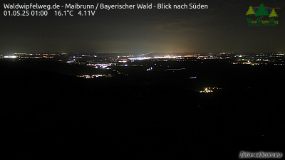

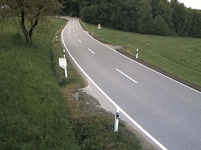
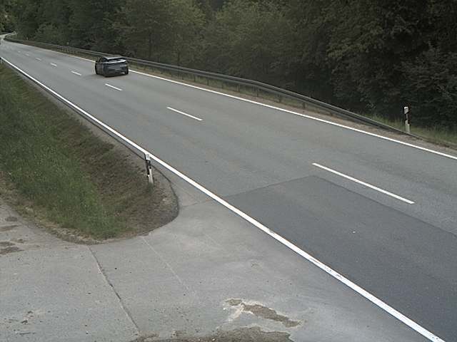
Hadriwa (Bavarian Forest, Haibach)附近的城镇
- Straubing22 公里外
- Cham23 公里外
- Deggendorf26 公里外
- Dingolfing48 公里外
- Regensburg49 公里外
- Vilshofen55 公里外