Mountains in Germany
Hadriwa (Bavarian Forest, Haibach)
922 m3,025 ft
Mountain · Bavarian Forest · Germany
The Hadriwa [Hádriwɐ] is a completely forested mountain, 922 m, near Elisabethszell in the municipality of Haibach in the Bavarian Forest in Germany. It is the highest point on the ridge between the Klinglbach and Grüner Bach in the east and the Elisabethszeller Bach and the Menach and its side streams in the west.
From Wikipedia, CC BY-SA · Read the article
 See it in 3D
Facts
- What it is
- Mountain
- Height above sea level
- 922 m (3,025 ft)
- Range
- Bavarian Forest
- Country
- Germany
- Coordinates
- 49.035°N 12.766°E
- Source
- Wikidata, CC0
Peaks near Hadriwa (Bavarian Forest, Haibach)
- Käsplatte978 m · 3 km awayOn the map
- Pröller1,048 m · 4.2 km awayOn the map
- Gallner709 m · 6.6 km awayOn the map
- Predigtstuhl1,024 m · 7 km awayOn the map
- Knogl1,056 m · 8 km awayOn the map
- Kälberbuckel1,054 m · 11 km awayOn the map
- Hirschenstein1,092 m · 11 km awayOn the map
- Klausenstein1,048 m · 13 km awayOn the map
- Rauher Kulm1,050 m · 14 km awayOn the map
- Weigelsberg898 m · 16 km awayOn the map
Highest in the Bavarian Forest
- Großer Rachel1,453 mOn the map
- Kleiner Arber1,384 mOn the map
- Bayerischer Plöckenstein1,362 mOn the map
- Großer Falkenstein1,315 mOn the map
- Enzian1,285 mOn the map
- Kiesruck1,265 mOn the map
- Hahnenbogen1,257 mOn the map
- Waldhäuserriegel1,151 mOn the map
- Hadriwa (Bavarian Forest, Haibach)922 mOn the map
Highest mountains in Germany
- Zugspitze2,962 mOn the map
- Hochwanner2,744 mOn the map
- Dreitorspitze2,682 mOn the map
- Hochkalter2,607 mOn the map
- Biberkopf2,599 mOn the map
- Großer Hundstod2,594 mOn the map
- Hochvogel2,592 mOn the map
- Östliche Karwendelspitze2,538 mOn the map
- Hocheisspitze2,523 mOn the map
- Hoher Göll2,522 mOn the map
Webcams near Hadriwa (Bavarian Forest, Haibach)
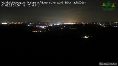

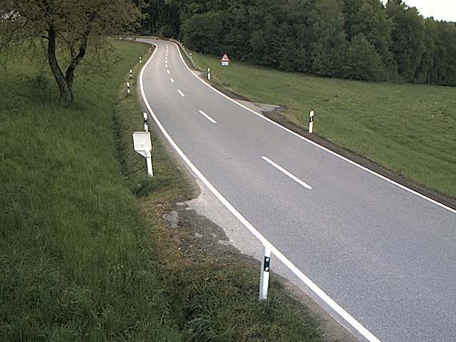
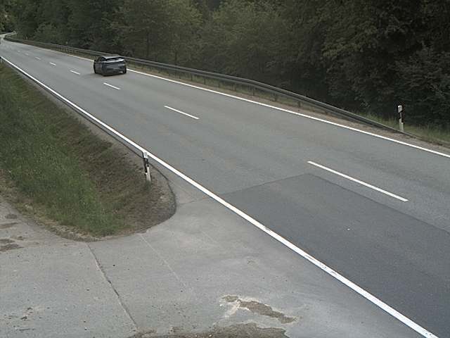
Towns near Hadriwa (Bavarian Forest, Haibach)
- Straubing22 km away
- Cham23 km away
- Deggendorf26 km away
- Dingolfing48 km away
- Regensburg49 km away
- Vilshofen55 km away