Hinterwaldkopf
1,199 米3,934 英尺
山 · 黑森林 · 德国
The Hinterwaldkopf is a mountain, 1,198.2 m above sea level (NHN), in the Southern Black Forest in Germany. It lies in the southeastern part of the catchment area of the Dreisam east of Freiburg im Breisgau between Kirchzarten and Hinterzarten.
来自Wikipedia,CC BY-SA · 阅读文章
山顶 · 4:00 的预报
5 °C晴 · 南风 7 km/h
 3D 查看
Hinterwaldkopf山顶天气,1,199 米
- 4:005 °C南 7 km/h–
- 7:005 °C南 5 km/h–
- 10:0013 °C西南 6 km/h–
- 13:0016 °C西 8 km/h–
- 16:0014 °C西 8 km/h–
- 19:008 °C西南 10 km/h–
- 22:008 °C西南 13 km/h–
- 1:008 °C西南 12 km/h1.5 mm
| 日期 | 天气 | 最高 / 最低 | 雨 | 最大风速 |
|---|---|---|---|---|
| 今天 | 晴 | 16 °C / 5 °C | – | 13 km/h |
| 10月28日周三 | 晴 | 8 °C / 1 °C | 3.4 mm | 14 km/h |
| 10月29日周四 | 晴 | 9 °C / 0 °C | – | 14 km/h |
| 10月30日周五 | 晴 | 9 °C / 0 °C | – | 11 km/h |
| 10月31日周六 | 少云 | 9 °C / -0 °C | – | 10 km/h |
| 11月1日周日 | 晴 | 9 °C / 0 °C | – | 6 km/h |
| 11月2日周一 | 晴 | 8 °C / -0 °C | – | 10 km/h |
预报来自 MET Norway(CC BY 4.0),更新于 GMT+1 02:17。时间均为当地时间。
基本信息
Hinterwaldkopf
Mountain in Germany
The Hinterwaldkopf is a mountain, 1,198.2 m above sea level (NHN), in the Southern Black Forest in Germany. It lies in the southeastern part of the catchment area of the Dreisam east of Freiburg im Breisgau between Kirchzarten and Hinterzarten. To the north it is bounded by the Höllental valley, to the south by the Zastler valley.
来自Wikipedia,CC BY-SA · 阅读文章
Hinterwaldkopf附近的山峰
- 费尔德山1,494 米 · 5.1 公里外地图上
- Seebuck1,449 米 · 6.1 公里外地图上
- Stübenwasen1,389 米 · 6.5 公里外地图上
- Weißtannenhöhe1,191 米 · 7.9 公里外地图上
- 绍因斯兰山1,284 米 · 8.8 公里外地图上
- Herzogenhorn1,416 米 · 9.3 公里外地图上
- Hochfirst1,190 米 · 13 公里外地图上
- Rosskopf737 米 · 13 公里外地图上
- Schlossberg456 米 · 14 公里外地图上
- Lorettoberg348 米 · 15 公里外地图上
黑森林最高峰
德国最高的山
Hinterwaldkopf附近的网络摄像头


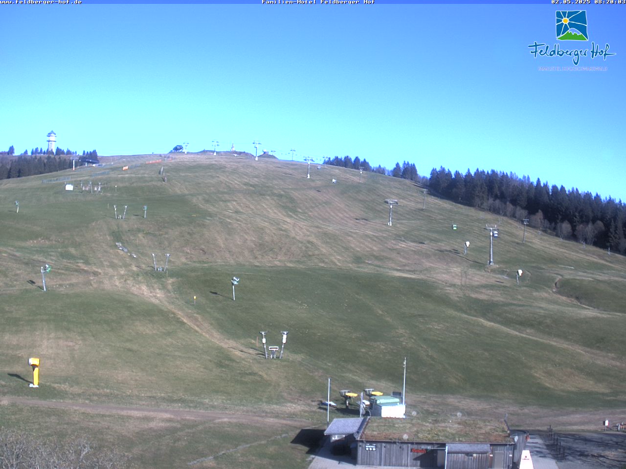
Hinterwaldkopf周边的历史
Hinterwaldkopf附近的城镇
- 布赖斯高地区弗赖堡15 公里外
- Waldkirch20 公里外
- Emmendingen26 公里外
- Müllheim31 公里外
- Schopfheim33 公里外
- Donaueschingen36 公里外