Hinterwaldkopf
1,199 m3,934 ft
山 · シュヴァルツヴァルト · ドイツ
The Hinterwaldkopf is a mountain, 1,198.2 m above sea level (NHN), in the Southern Black Forest in Germany. It lies in the southeastern part of the catchment area of the Dreisam east of Freiburg im Breisgau between Kirchzarten and Hinterzarten.
出典: Wikipedia、CC BY-SA · 記事を読む
山頂 · 7:00 の予報
5 °C快晴 · 南の風 5 km/h
 3D で見る
Hinterwaldkopf 山頂の天気(1,199 m)
- 7:005 °C南 5 km/h–
- 10:0013 °C南西 6 km/h–
- 13:0016 °C西 8 km/h–
- 16:0014 °C西 8 km/h–
- 19:008 °C南西 10 km/h–
- 22:008 °C南西 13 km/h–
- 1:008 °C南西 12 km/h1.5 mm
- 4:008 °C西 11 km/h1.9 mm
| 日付 | 天気 | 最高 / 最低 | 雨 | 最大風速 |
|---|---|---|---|---|
| 今日 | 快晴 | 16 °C / 5 °C | – | 13 km/h |
| 10月28日(水) | 快晴 | 8 °C / 1 °C | 3.4 mm | 14 km/h |
| 10月29日(木) | 快晴 | 9 °C / 0 °C | – | 14 km/h |
| 10月30日(金) | 快晴 | 9 °C / 0 °C | – | 11 km/h |
| 10月31日(土) | 晴れ | 9 °C / -0 °C | – | 10 km/h |
| 11月1日(日) | 快晴 | 9 °C / 0 °C | – | 6 km/h |
| 11月2日(月) | 快晴 | 8 °C / -0 °C | – | 10 km/h |
MET Norway(CC BY 4.0)による予報。02:17 GMT+1 更新。時刻は現地時間です。
基本データ
- 種類
- 山
- 標高
- 1,199 m (3,934 ft)
- 山脈
- シュヴァルツヴァルト
- 国
- ドイツ
- 座標
- 47.919°N 8.017°E
Hinterwaldkopf
Mountain in Germany
The Hinterwaldkopf is a mountain, 1,198.2 m above sea level (NHN), in the Southern Black Forest in Germany. It lies in the southeastern part of the catchment area of the Dreisam east of Freiburg im Breisgau between Kirchzarten and Hinterzarten. To the north it is bounded by the Höllental valley, to the south by the Zastler valley.
出典: Wikipedia、CC BY-SA · 記事を読む
Hinterwaldkopf周辺の山
- Feldberg1,494 m · 5.1 km先地図上
- Seebuck1,449 m · 6.1 km先地図上
- Stübenwasen1,389 m · 6.5 km先地図上
- Weißtannenhöhe1,191 m · 7.9 km先地図上
- Schauinsland1,284 m · 8.8 km先地図上
- Herzogenhorn1,416 m · 9.3 km先地図上
- Hochfirst1,190 m · 13 km先地図上
- Rosskopf737 m · 13 km先地図上
- レーツベルク456 m · 14 km先地図上
- Lorettoberg348 m · 15 km先地図上
シュヴァルツヴァルトの最高峰
ドイツの高い山
- ツークシュピッツェ2,962 m地図上
- Hochwanner2,744 m地図上
- Dreitorspitze2,682 m地図上
- ホッホカルター2,607 m地図上
- Biberkopf2,599 m地図上
- Großer Hundstod2,594 m地図上
- Hochvogel2,592 m地図上
- Östliche Karwendelspitze2,538 m地図上
- Hocheisspitze2,523 m地図上
- Hoher Göll2,522 m地図上
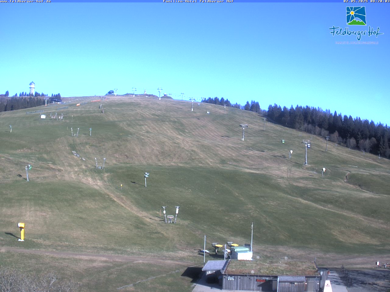
Hinterwaldkopf周辺のライブカメラ


Hinterwaldkopf周辺の歴史
Hinterwaldkopf周辺の町
- フライブルク・イム・ブライスガウ15 km先
- Waldkirch20 km先
- Emmendingen26 km先
- Müllheim31 km先
- Schopfheim33 km先
- Donaueschingen36 km先