英国的山
Holywell Hill
260 米853 英尺
丘陵 · 英国
The Holywell Hill transmission site is located on a 260-metre (853') hill near Killea in County Donegal, Ireland, and is owned and operated by 2RN.
来自Wikipedia,CC BY-SA · 阅读文章
山顶 · 6:00 的预报
9 °C多云 · 南风 13 英里/小时
 3D 查看
Holywell Hill山顶天气,260 米
- 6:009 °C南 13 英里/小时–
- 9:009 °C南 13 英里/小时–
- 12:0012 °C南 17 英里/小时–
- 15:0013 °C南 15 英里/小时–
- 18:0011 °C南 17 英里/小时–
- 21:0011 °C南 18 英里/小时–
- 0:0010 °C南 19 英里/小时–
- 3:009 °C南 22 英里/小时–
| 日期 | 天气 | 最高 / 最低 | 雨 | 最大风速 |
|---|---|---|---|---|
| 今天 | 阴 | 13 °C / 8 °C | – | 19 英里/小时 |
| 10月30日周五 | 多云 | 14 °C / 9 °C | 1.4 mm | 22 英里/小时 |
| 10月31日周六 | 多云 | 12 °C / 10 °C | 0.2 mm | 12 英里/小时 |
| 11月1日周日 | 多云 | 10 °C / 5 °C | – | 8 英里/小时 |
| 11月2日周一 | 阴 | 9 °C / 3 °C | – | 3 英里/小时 |
| 11月3日周二 | 多云 | 7 °C / 2 °C | – | 3 英里/小时 |
| 11月4日周三 | 阴 | 9 °C / 4 °C | 0.4 mm | 3 英里/小时 |
预报来自 MET Norway(CC BY 4.0),更新于 GMT 01:17。时间均为当地时间。
基本信息
Holywell Hill附近的山峰
- Loughermore396 米 · 20 公里外地图上
- Slieve Snaght615 米 · 22 公里外地图上
- Raghtin More502 米 · 23 公里外地图上
- Sawel Mountain678 米 · 31 公里外地图上
- 貝尼文奈山385 米 · 33 公里外地图上
- Benbradagh465 米 · 34 公里外地图上
- Donald's Hill399 米 · 37 公里外地图上
- Mullaghcarn542 米 · 38 公里外地图上
- Mullaghmore550 米 · 39 公里外地图上
- Muckish666 米 · 40 公里外地图上
英国最高的山
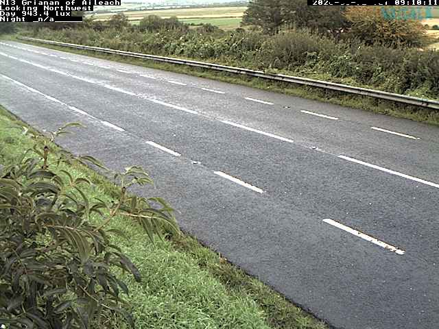
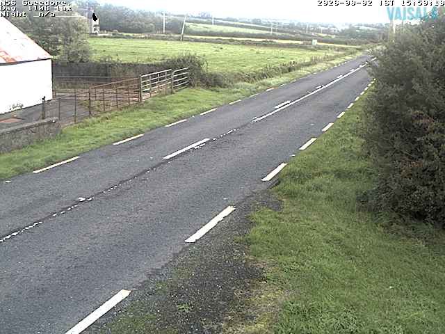
Holywell Hill附近的网络摄像头

Holywell Hill周边的历史
- Bloody Sunday1972
- Greysteel massacre1993
- Battle of the Bogside1969
- Flight of the Earls: Hugh O'Neill, 2nd Earl of Tyrone, and Rory O'Donnell, 1st Earl of Tyrconnell, flee Ireland for Spain with 90 followers1607
- 2021 Northern Ireland riots2021
- Top of the Hill bar shooting1972
- Siege of Derry1689
- Battle of Glenmaquin1642